Nokomis in Sarasota County, Florida — The American South (South Atlantic)
Laurel Turpentine Company
⎯⎯⎯
Blackburn Sawmill Quarters
Photographed by Cosmos Mariner, December 3, 2014
1. Laurel Turpentine Company / Blackburn Sawmill Quarters Marker
Laurel Turpentine Company
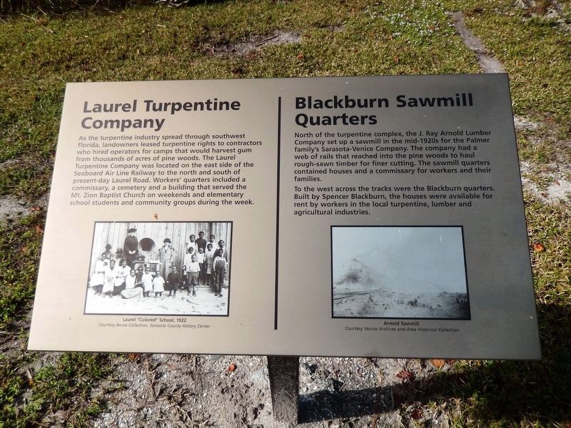
As the turpentine industry spread through southwest Florida, landowners leased turpentine rights to contractors who hired operators for camps that would harvest gum from thousands of acres of pine woods. The Laurel Turpentine Company was located on the east side of the Seaboard Air Line Railway to the north and south of present-day Laurel Road. Workers' quarters included a commissary, a cemetery and a building that served the Mt. Zion Baptist Church on weekends and elementary school students and community groups during the week.
Blackburn Sawmill Quarters
North of the turpentine complex, the J. Ray Arnold Lumber Company set up a sawmill in the mid-1920s for the Palmer family's Sarasota-Venice Company. The company had a web of rails that reached into the pine woods to haul rough-sawn timber for finer cutting. The sawmill quarters contained houses and a commissary for workers and their families.
To the west across the tracks were the Blackburn quarters. Built by Spencer Blackburn, the houses were available for rent by workers in the local turpentine, lumber and agricultural industries.
Topics. This historical marker is listed in these topic lists: African Americans • Horticulture & Forestry • Industry & Commerce • Settlements & Settlers.
Location. 27° 8.357′ N,
this page online

Regionally, this marker is on Florida’s Gulf Coast. It is also in the American South and on the Gulf Coast. Globally, it is in the North Atlantic Region, North America, a Gulf of Mexico state, the Western Hemisphere, the Western World, and the Anglosphere. Historically, it finds itself in what was once New Spain, the territory of the Mississippian Culture, one of the Confederate States of America, and the Antebellum South.
Other nearby markers. At least 8 other markers are within 2 miles of this marker, measured as the crow flies: Johnson Chapel / Albee Quarters (approx. 0.6 miles away); Shakett Creek / Estuary "the cradle of the ocean" (approx. 0.8 miles away); Venice Post Office (approx. 1.1 miles away); Turpentine / Venice Ice House (approx. 1.3 miles away); Knight Memorial/Area First Cemetery (approx. 1.4 miles away); History of Nokomis / Fred Albee (approx.
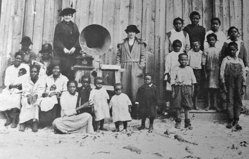
Courtesy Borza Collection, Sarasota County History Center
2. Marker detail: Laurel “Colored” School, 1922
Another marker is no longer nearby. Laurel Turpentine and Lumber Industry (was approx. ¼ mile away but has been confirmed missing).
More about this marker. Marker is a large laser-printed metal plaque, mounted horizontally on a waist-high post.
Related markers. Click here for a list of markers that are related to this marker. Laurel Turpentine Industry
Also see . . .
1. The history of Florida turpentine camps. Sarasota Herald-Tribune (2004) (Submitted on January 4, 2024, by Larry Gertner of New York, New York.)
2. The brutality of Florida's Turpentine Industry. Flo Writer website entry (Submitted on January 4, 2024, by Larry Gertner of New York, New York.)
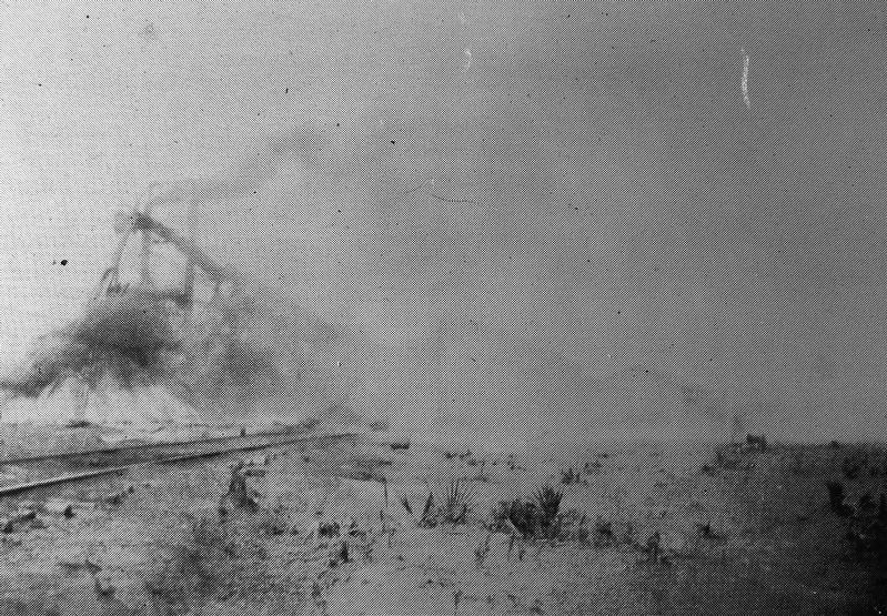
Courtesy Venice Archives and Area Historical Collection
3. Marker detail: Arnold Sawmill
Photographed by Cosmos Mariner, December 3, 2014
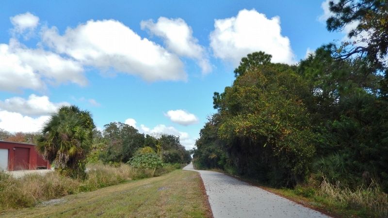
4. Venice-to-Sarasota Legacy Rail Trail (wide view; looking north from marker)
Credits. This page was last revised on January 4, 2024. It was originally submitted on October 15, 2018, by Cosmos Mariner of Cape Canaveral, Florida. This page has been viewed 1,047 times since then and 69 times this year. Photos: 1, 2, 3, 4. submitted on October 15, 2018, by Cosmos Mariner of Cape Canaveral, Florida. • Andrew Ruppenstein was the editor who published this page.
