Tyre in Seneca County, New York — The American Northeast (Mid-Atlantic)
Crusoe Island
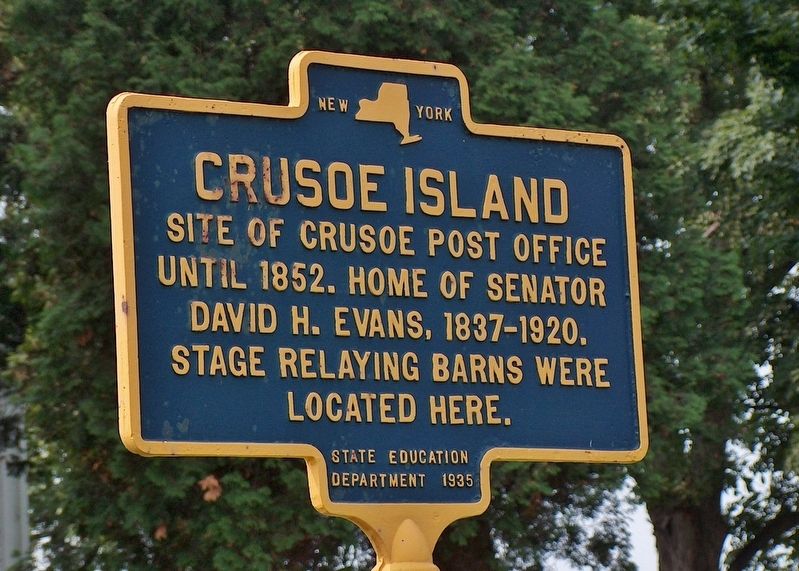
Photographed by Cosmos Mariner, July 4, 2004
1. Crusoe Island Marker
Site of Crusoe Post Office until 1852. Home of Senator David H. Evans, 1837-1920.
Stage relaying barns were located here.
Erected 1935 by New York State Department of Education.
Topics. This historical marker is listed in this topic list: Settlements & Settlers. A significant historical year for this entry is 1852.
Location. 43° 1.318′ N, 76° 46.2′ W. Marker is in Tyre, New York, in Seneca County. It is at the intersection of Wiley Road (State Highway 89) and Armitage Road (State Road 89), on the right when traveling south on Wiley Road. Touch for map. Marker is in this post office area: Seneca Falls NY 13148, United States of America. Touch for directions.

Regionally, this marker is in Upstate New York, specifically in Western New York, and in the Finger Lakes. It is also in the American Northeast and in the Mid-Atlantic. Globally, it is in North America, the Western Hemisphere, the Western World, and the Anglosphere. Historically, it finds itself in what was once the Haudenosaunee (Iroquois) Confederacy, New Netherland, and one of the original Thirteen Colonies.
Other nearby markers. At least 8 other
this page online
More about this marker. NY Route 89 turns 90° east or 90° south at the intersection. The north side of Armitage Road is Wayne County, town of Savannah.
Also see . . .
1. History of the Town. The large body of highland surrounded (some six miles long, and three or four broad), lying between the swamp and Seneca river, was known as Crusoe island, and extended south to Clyde river, in Seneca county. More than one-half of this "island" is located within the town of Savannah. Crusoe island, in the south part of the town, is largely a woodland marsh, which, at the time of settlement, appeared to be the natural condition of the whole town, aside from the drift-ridges.
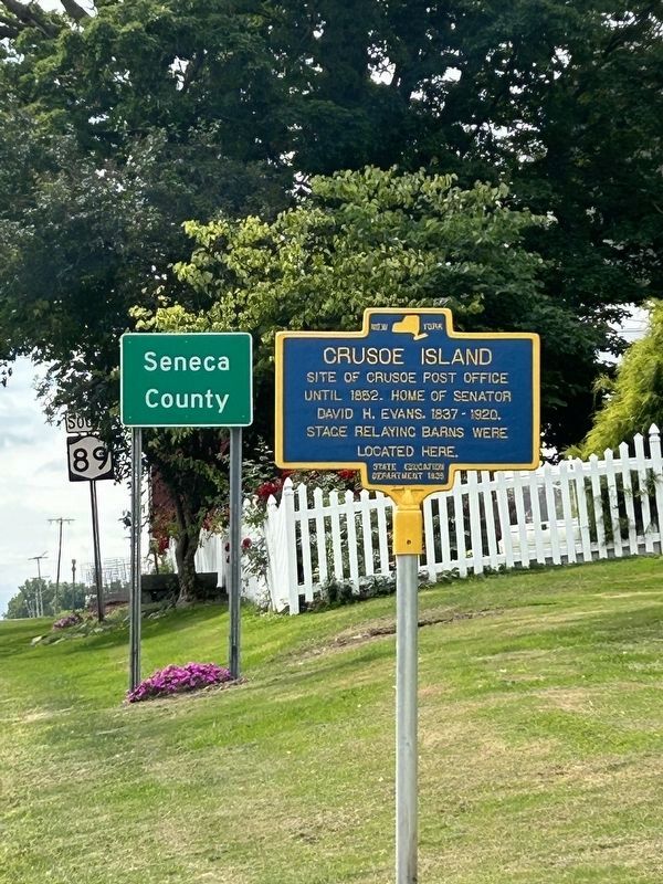
Photographed by Susan A. Dalaba, August 29, 2024
2. Crusoe Island Marker
2. David H. Evans. David H. Evans (1837-1920) was an American politician from New York.
Justice of the Peace, Tyre, (1866-1869)
Supervisor of the Town of Tyre (1869, 1872-1877)
New York State Assembly (Seneca Co.) (1879-1880)
New York State Senate (1882-1883)
Died on February 24, 1920, at the farm where he was born, located in the Town of Tyre, about four miles south-west of the Village of Savannah; and was buried at the Evans Corner Cemetery in Tyre. (Submitted on October 19, 2018, by Cosmos Mariner of Cape Canaveral, Florida.)
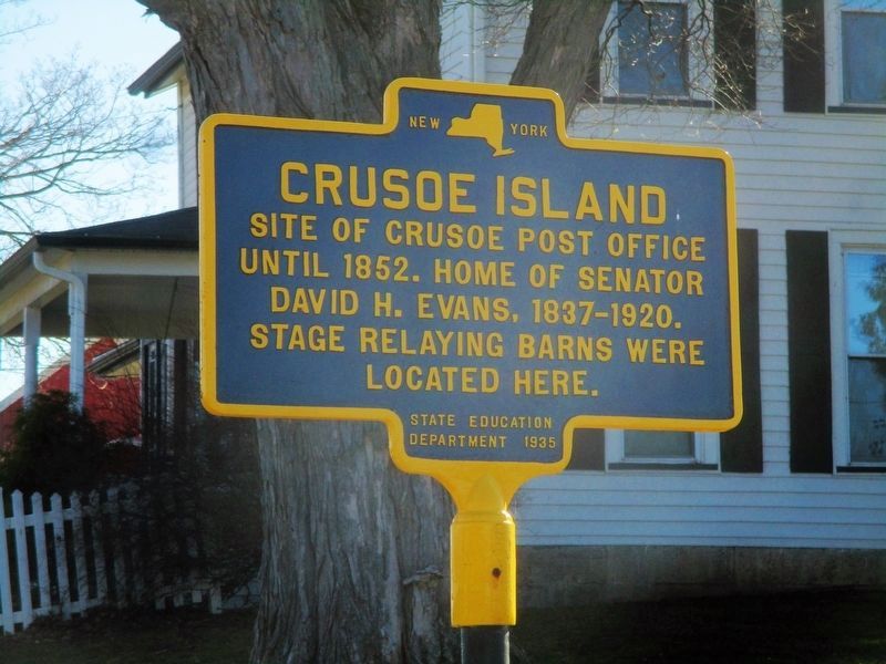
Photographed by Mira Earls, March 21, 2021
3. Crusoe Island Marker taken in March 2021
Credits. This page was last revised on August 1, 2026. It was originally submitted on October 18, 2018, by Cosmos Mariner of Cape Canaveral, Florida. This page has been viewed 893 times since then and 66 times this year. Last updated on August 30, 2024, by Susan A. Dalaba of Cortland, New York. Photos: 1. submitted on October 19, 2018, by Cosmos Mariner of Cape Canaveral, Florida. 2. submitted on August 30, 2024, by Susan A. Dalaba of Cortland, New York. 3. submitted on July 23, 2026, by Mira Earls of Cortland, New York. • Devry Becker Jones was the editor who published this page.
