Centro Histórico in Ciudad de México, Mexico — The Valley of Mexico (The Central Highlands)
El Palacio Postal
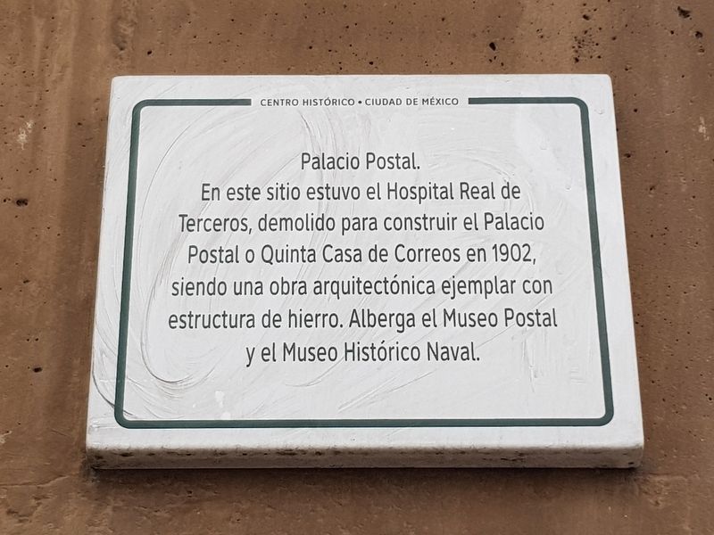
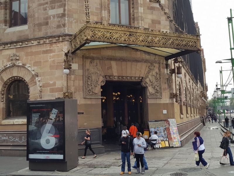
En este sitio estuvo el Hospital Real de Terceros, demolido para construir el Palacio Postal o Quinta Casa de Correos in 1902, siendo una obra arquitectónica ejemplar con estructura de hierro. Alberga el Museo Postal y el Museo Histórico Naval.
The Postal Palace
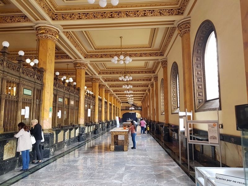
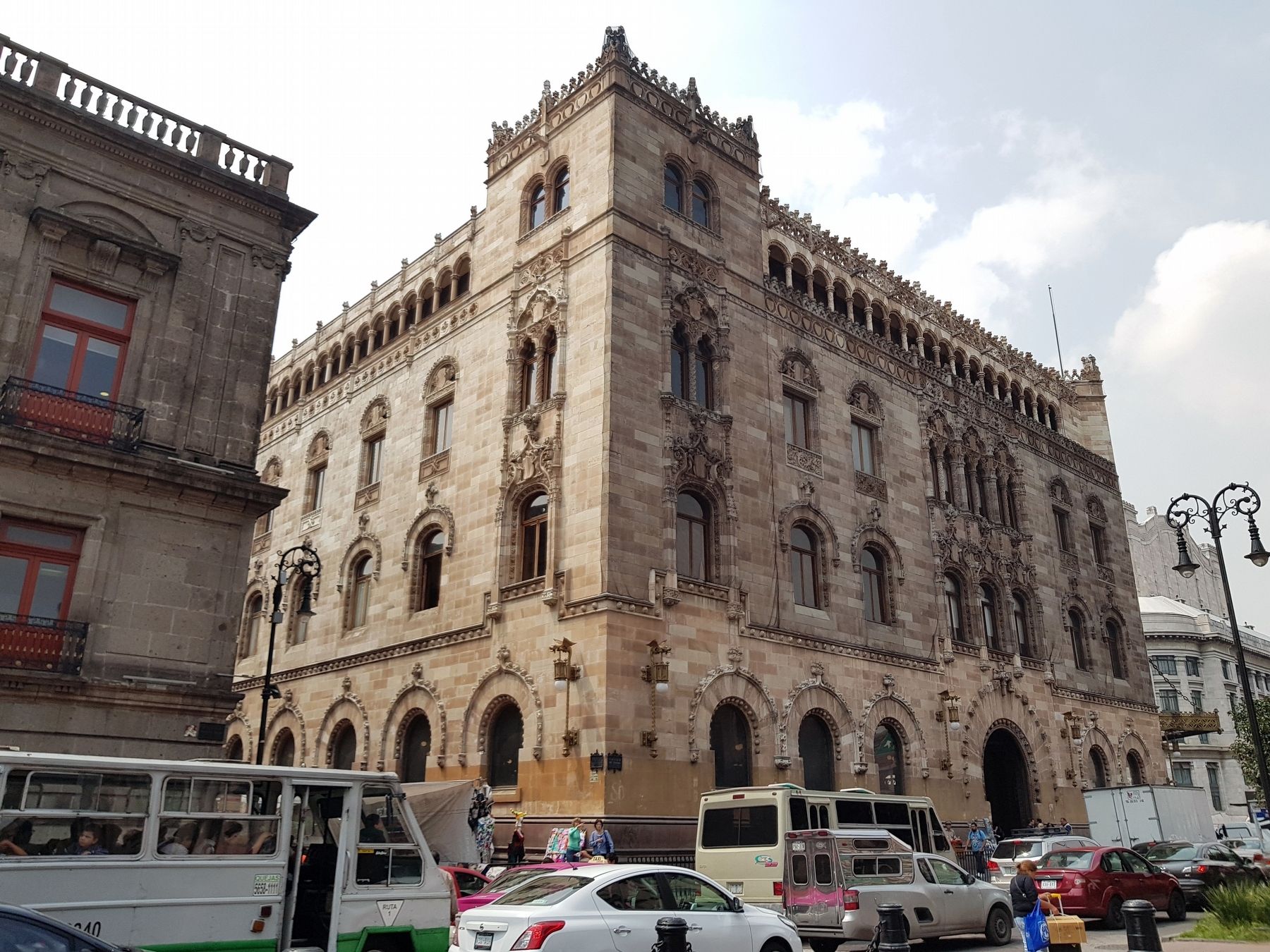
On this site was the Royal Hospital of the Tertiaries, demolished to build the Postal Palace or Quinta Casa de Correos (Fifth Postal Office) in 1902, being an exemplary architectural work with an iron structure. It houses the Postal Museum and the Naval Historical Museum.
Topics. This historical marker is listed in these topic lists: Architecture • Communications. A significant historical year for this entry is 1902.
Location. 19° 26.157′ N, 99° 8.427′ W. Marker is in Ciudad de México. It is in Centro Histórico. Marker is at the intersection of Eje Central Lázaro Cárdenas and Calle de Tacuba, on the right when traveling north on Eje Central Lázaro Cárdenas. Touch for map. Marker is in this post office area: Ciudad de México 06000, Mexico. Touch for directions.
Other nearby markers. At least 8 other markers are within walking distance of this marker. Hospital de los Terceros Franciscanos (here, next to this marker); The House of Hernán Martín (within shouting distance of this marker); Ignacio Manuel Altamirano (within shouting distance of this marker); The Palace of Mines (about 90 meters away, measured in a direct line); Statue of Carlos IV of Spain (about 90 meters away); Guglielmo Marconi (about 120 meters away); The Church of San Andrés (about 150 meters away); La Casa de los Azulejos (about 150 meters away). Touch for a list and map of all markers in Ciudad de México.
Credits. This page was last revised on January 4, 2023. It was originally submitted on October 18, 2018, by J. Makali Bruton of Accra, Ghana. This page has been viewed 102 times since then and 11 times this year. Photos: 1, 2, 3, 4. submitted on October 18, 2018, by J. Makali Bruton of Accra, Ghana.


