York, England, United Kingdom — Northwestern Europe (the British Isles)
Pinfold
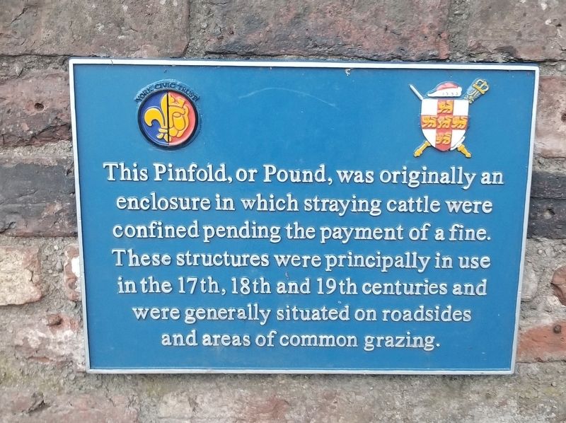
This Pinfold, or Pound, was originally an enclosure in which straying cattle were confined pending the payment of a fine. These structures were principally in use in the 17th, 18th and 19th centuries and were generally situated on roadsides and areas of common grazing.
Topics. This historical marker is listed in this topic list: Animals.
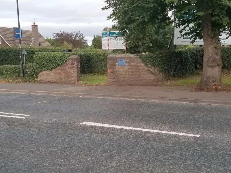
Location. 53° 56.341′ N, 1° 6.452′ W. Marker is in York, England. Marker is at the intersection of Tadcaster Road (England Route A1036) and St Helen’s Road, on the left when traveling south on Tadcaster Road. Located in Dringhouses village. Touch for map. Marker is in this post office area: York, England YO24 1QG, United Kingdom. Touch for directions.
Other nearby markers. At least 8 other markers are within 3 kilometers of this marker, measured as the crow flies. Dringhouses School (within shouting distance of this marker); Dringhouses War Memorial (about 150 meters away, measured in a direct line); Northeastern Railway War Memorial (approx. 2.5 kilometers away); North Eastern Railway Head Office (approx. 2.5 kilometers away); George Leeman (approx. 2.5 kilometers away); Clifford’s Tower (approx. 2.6 kilometers away); Cumberland House (approx. 2.6 kilometers away); Courthouse Memorial Stone (approx. 2.6 kilometers away). Touch for a list and map of all markers in York.
Credits. This page was last revised on January 27, 2022. It was originally submitted on October 20, 2018, by Michael Herrick of Southbury, Connecticut. This page has been viewed 90 times since then and 9 times this year. Photos: 1, 2. submitted on October 20, 2018, by Michael Herrick of Southbury, Connecticut.

