Summit Hill in Carbon County, Pennsylvania — The American Northeast (Mid-Atlantic)
Five Mile Tree Crossover
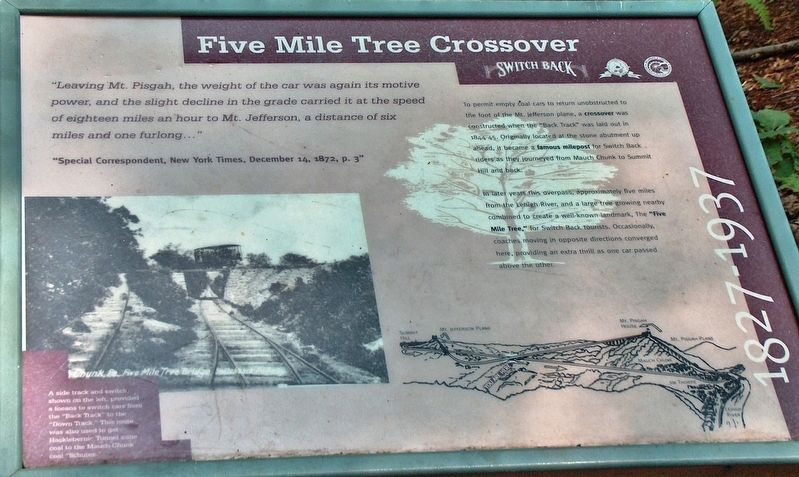
”Leaving Mt. Pisgah, the weight of the car was again its motive power, and the slight decline in the grade carried it at the speed of eighteen miles an hour to Mt. Jefferson, a distance of six miles and one furlong…”
”Special Correspondent, New York Times, December 14, 1872, p. 3”
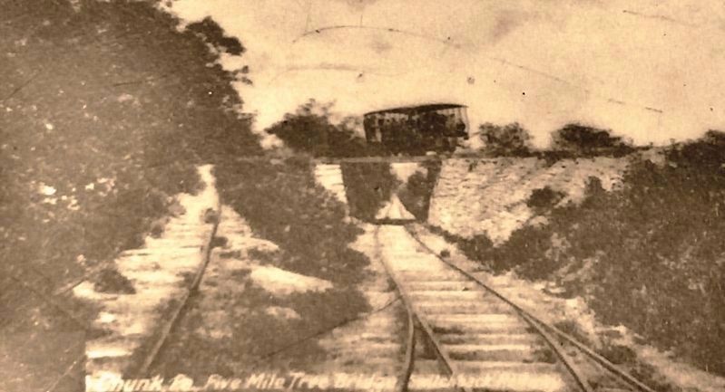
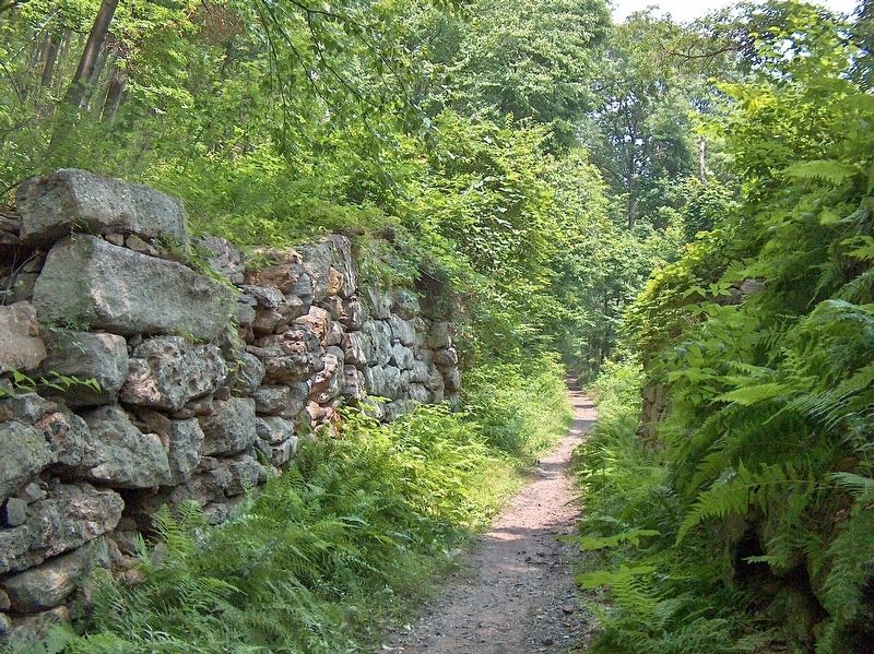
To permit empty coal cars to return unobstructed to the foot of the Mt. Jefferson plane, a crossover was constructed when the “Back Track” was laid out in 1844-45. Originally located at the stone abutment up ahead, it became a famous milepost for Switch Back riders as they journeyed from Mauch Chunk to Summit Hill and back.
In later years this overpass, approximately five miles from the Lehigh River, and a large tree growing nearby combined to create a well-known landmark, The “Five Mile Tree,” for Switch Back tourists. Occasionally, coaches moving in opposite directions converged here, providing an extra thrill as one car passed above the other.
Topics. This historical marker is listed in these topic lists: Industry & Commerce • Railroads & Streetcars. A significant historical year for this entry is 1845.
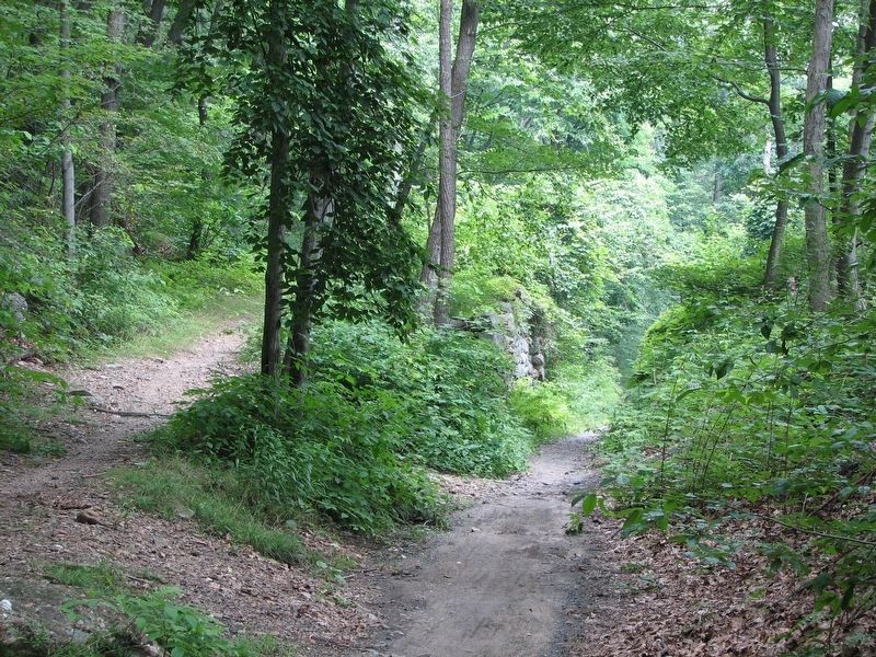
Location. 40° 50.355′ N, 75° 49.312′ W. Marker is in Summit Hill, Pennsylvania, in Carbon County. Marker can be reached from East White Bear Drive, 3 miles east of Pennsylvania Route 902, on the left when traveling east. Marker is located on the Switchback Railroad Trail, 9/10 mile west (uphill) from where the trail crosses East White Bear Drive near the entrance to Mauch Chunk Lake Park. Touch for map. Marker is in this post office area: Summit Hill PA 18250, United States of America. Touch for directions.
Other nearby markers. At least 8 other markers are within 5 miles of this marker, measured as the crow flies. Switchback Railroad (approx. 0.9 miles away); Backtrack Trestle (approx. 2.6 miles away); Old Presbyterian Cemetery (approx. 2.8 miles away); Philip Ginter (approx. 2.9 miles away); Soldiers Monument (approx. 2.9 miles away); World War I Memorial (approx. 3 miles away); Philip Ginder (approx. 3 miles away); Molly Maguire Executions (approx. 4.3 miles away). Touch for a list and map of all markers in Summit Hill.
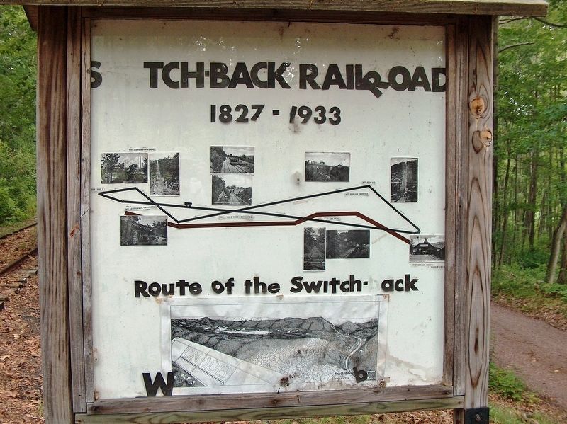
More about this marker. Marker is a large composite plaque, mounted horizontally on waist-high posts.
Related markers. Click here for a list of markers that are related to this marker. Mauch Chunk Switchback Railroad
Also see . . .
1. Mauch Chunk Switchback Railroad. Empty cars were hauled back up the track by mules, which then returned to Mauch Chunk in specially built cars attached to the coal trains. Empties had to wait until full cars had completed their down trip before they could return, which created a bottle-neck at Mauch Chunk, and a back track was therefore built in 1845. It consisted of two planes, Mount Pisgah and Mount Jefferson, which used stationary steam engines to haul cars to the top of each plane. Between the planes, cars were once again propelled by gravity on the back track. (Submitted on October 29, 2018, by Cosmos Mariner of Cape Canaveral, Florida.)
2. Mauch Chunk Switchback Railway. The Mauch Chunk and Summit Railroad was a coal hauling railroad in the mountains of Pennsylvania that operated between 1828 and 1932. It was also the first operational US railway of any substantial length to carry paying passengers. A private line which moved coal for the Lehigh Coal & Navigation Company on 3 foot 6 inch gauge track, it was not a common carrier which linked with other railroads. The rail line was laid on top of the company's earlier 9 mile constant-descent-grade wagon road and trains would run for over a hundred years until the middle days of the Great Depression. (Submitted on October 29, 2018, by Cosmos Mariner of Cape Canaveral, Florida.)
Credits. This page was last revised on November 1, 2018. It was originally submitted on October 29, 2018, by Cosmos Mariner of Cape Canaveral, Florida. This page has been viewed 247 times since then and 24 times this year. Photos: 1, 2, 3, 4, 5. submitted on October 29, 2018, by Cosmos Mariner of Cape Canaveral, Florida. • Andrew Ruppenstein was the editor who published this page.
