Tynemouth in Tyne and Wear, England, United Kingdom — Northwestern Europe (the British Isles)
The Cloister
— Tynemouth Priory and Castle —
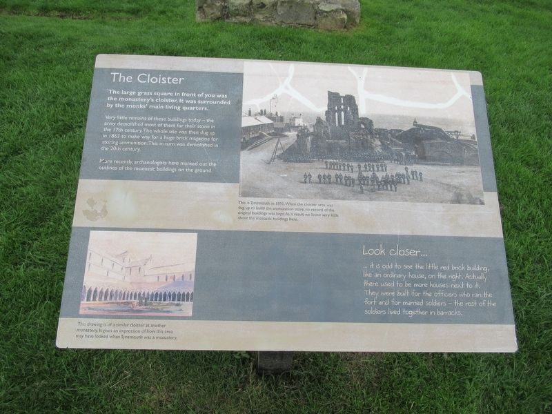
The Cloister
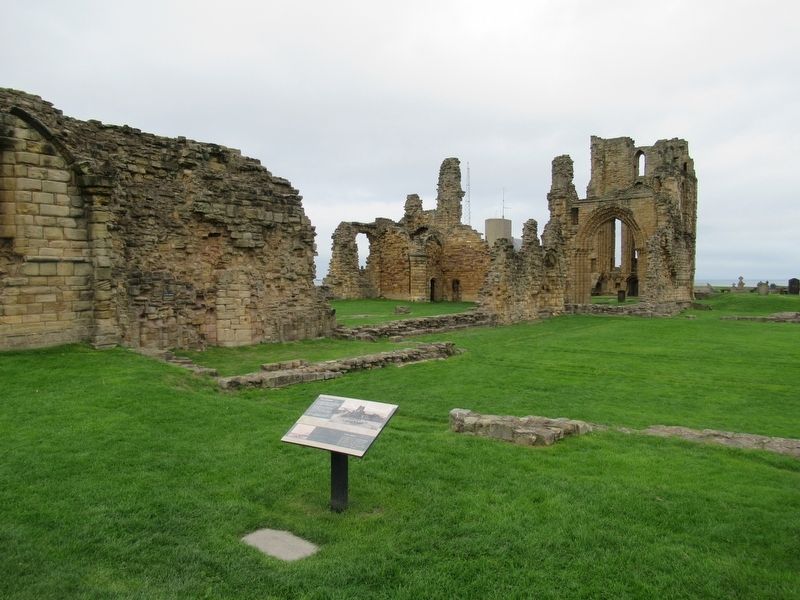
The large grass square in front of you was the monastery's cloister. It was surrounded by the monks' main living quarters.
Very little remains of these buildings today – the army demolished most of them for their stone in the 17th century. The whole site was then dug up in 1863 to make way for a huge brick magazine for storing ammunition. This in turn was demolished in the 20th century.
More recently, archaeologists have marked out the outlines of the monastic buildings on the ground.
Look closer ...
it is odd to see the little red bick building, like an ordinary house, on the right. Actually there used to be more houses next to it. They were built for the officers who ran the fort and for maimed soldiers – the rest of the soldiers lived together in barracks.
( photo captions )
This is Tynemouth in 1895.When the cloister area was dug up to build the ammunition store, no record of the original buildings was kept. As a result we know very little about the monastic buildings here.
This drawing is of a similar cloister at another monastery. It gives an impression of how this area may have looked when Tynemouth was a monastery.
Topics. This historical marker is listed in these topic lists: Churches & Religion • Forts and Castles. A significant historical year for this entry is 1863.
Location. 55° 1.056′ N, 1° 25.064′ W. Marker is in Tynemouth, England, in Tyne and Wear. Marker can be reached from the intersection of Front Street and Pier Road, on the right when traveling east. Located at Tynemouth Priory and Castle. Touch for map. Marker is in this post office area: Tynemouth, England NE30 4BZ, United Kingdom. Touch for directions.
Other nearby markers. At least 8 other markers are within walking distance of this marker. The Shrine Area (a few steps from this marker); The Priory Church (a few steps from this marker); Lost Buildings (within shouting distance of this marker); Stone Detectives (within shouting distance of this marker); Site of Tynemouth Lighthouse (within shouting distance of this marker); The Gatehouse (within shouting distance of this marker); Tynemouth Priory and Castle (about 90 meters away, measured in a direct line); 6 Inch Gun (about 90 meters away). Touch for a list and map of all markers in Tynemouth.
Also see . . .
1. English Heritage - Tynemouth Priory and Castle. (Submitted on November 10, 2018, by Michael Herrick of Southbury, Connecticut.)
2. Tynemouth Priory and Castle on Wikipedia. (Submitted on November 10, 2018, by Michael Herrick of Southbury, Connecticut.)
Credits. This page was last revised on January 27, 2022. It was originally submitted on November 10, 2018, by Michael Herrick of Southbury, Connecticut. This page has been viewed 101 times since then and 5 times this year. Photos: 1, 2. submitted on November 10, 2018, by Michael Herrick of Southbury, Connecticut.

