Near Rush in Boyd County, Kentucky — The American South (East South Central)
Sandy Furnace
⎯⎯⎯
Iron Made in Kentucky
Photographed by J. J. Prats, September 29, 2018
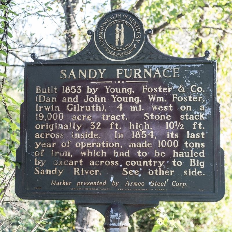
1. Sandy Furnace side of marker
Sandy Furnace. Built 1853 by Young, Foster & Co (Dan and John Young, William Foster, Irwin Gilruth), 4 miles west on a 9,000 acre tract. Stone stack originally 32 ft. high, 10½ ft. across inside. In 1854, its last year of operation, made 1000 tons of iron, which had to be hauled by oxcart across country to Big Sandy River.
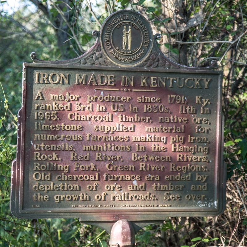
Iron Made in Kentucky. A major producer since 1791, Kentucky ranked 3rd is U.S. in 1830s, 11th in 1965. Charcoal timber, native ore, limestone supplied material for numerous furnaces making pig iron, utensils, munitions in the Hanging Rock, Red River, Between Rivers, Rolling Fork, and Green River Regions. Old charcoal furnace era ended by depletion of ore and timber and the growth of railroads.
Erected 1968 by Kentucky Historical Society, Kentucky Department of Highways, and Armco Steel Corp. (Marker Number 1131.)
Topics and series. This historical marker is listed in these topic lists: Industry & Commerce • Natural Resources. In addition, it is included in the Appalachian Iron Furnaces, and the Kentucky Historical Society series lists. A significant historical year for this entry is 1853.
Location. 38° 15.765′ N,
this page online

Regionally, this marker is in the Kyova Tri-State Region. It is also in the American South, specifically in the Upper South, in the Ohio River Valley, in Appalachia, and specifically in Southern Appalachia. Globally, it is in North America, the Western Hemisphere, the Western World, and the Anglosphere. Historically, it finds itself in what was once the territory of the Mississippian Culture and also the Antebellum South.
Other nearby markers. At least 8 other markers are within 11 miles of this marker, measured as the crow flies: Revolutionary War Soldier’s Grave (approx. 5.8 miles away in West Virginia); Giant Cooling Tower (approx. 7½ miles away); Star Furnace / Iron Made in Kentucky (approx. 8.3 miles away); Princess Furnace / Iron Made in Kentucky (approx. 9 miles away);
Photographed by J. J. Prats, September 29, 2018
2. Iron Made in Kentucky side of marker
Another marker is no longer nearby. East Fork Covered Bridge / Covered Bridges (was approx. 3.7 miles away but has been confirmed missing).
Photographed by J. J. Prats, September 29, 2018
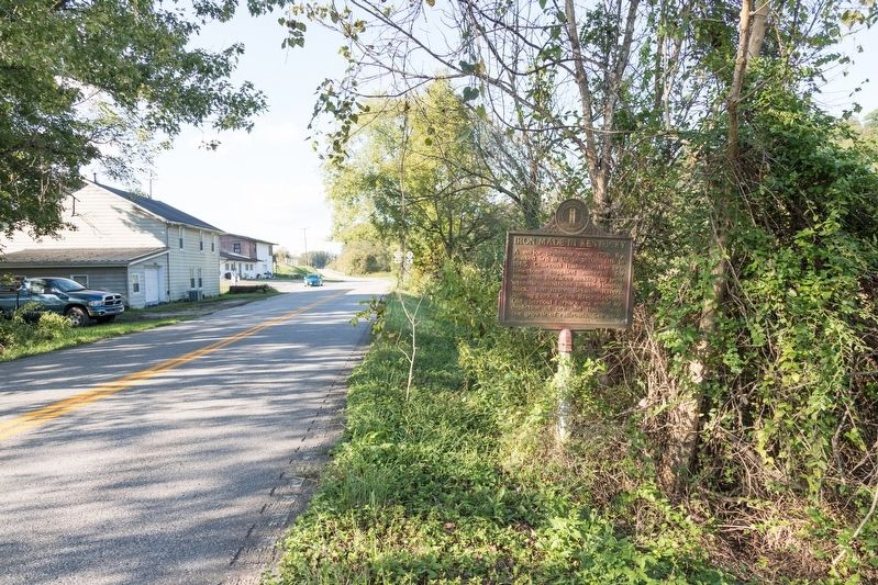
3. Sandy Furnace / Iron Made in Kentucky Marker
Credits. This page was last revised on October 30, 2020. It was originally submitted on November 11, 2018, by J. J. Prats of Powell, Ohio. This page has been viewed 503 times since then and 28 times this year. Photos: 1, 2, 3. submitted on November 11, 2018, by J. J. Prats of Powell, Ohio.
