Hexham in Northumberland, England, United Kingdom — Northwestern Europe (the British Isles)
Dolichenum
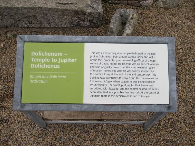
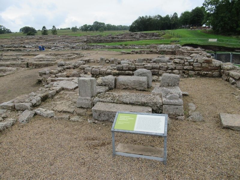
Dolichenum — Temple to Jupiter Dolichenus
fanum livi Dolicheno dedicatum
This was an extremely rare temple dedicated to the god Jupiter Dolichenus, built around AD220 inside the walls of the fort, probably by a commanding officer of the 4th cohort of Gauls. Jupiter Dolichenus was an ancient weather god who originally came from the south-eastern region of modern Turkey. His worship was widely adopted by the Roman Army at the end of the 2nd century AD. This building was eventually destroyed and the remains set on fire around AD370, when paganism was being replaced by Christianity. The worship of Jupiter Dolichenus was associated with feasting, and the central heated room has been identified as a possible feasting hall. At the centre of the main room is the Aedicula or shrine to the god.
Topics. This historical marker is listed in these topic lists: Forts and Castles • Settlements & Settlers.
Location. 54° 59.477′ N, 2° 21.581′ W. Marker is in Hexham, England, in Northumberland. Marker can be reached from road 68, 4 kilometers north of Route A69, on the left when traveling north. Located at Vindolanda Roman fort and village archaeological site. Touch for map. Marker is in this post office area: Hexham, England NE47 7JN, United Kingdom. Touch for directions.
Other nearby markers. At least 8 other markers are within walking distance of this marker. Workshops (within shouting distance of this marker); Severan Circular Huts (about 120 meters away, measured in a direct line); The Severan fort (about 120 meters away); Beneath the soil (about 120 meters away); North West Quadrant Barracks (about 120 meters away); Roman Pottery Kiln (about 120 meters away); Chesterholm Museum (about 120 meters away); A military community (about 150 meters away). Touch for a list and map of all markers in Hexham.
Also see . . . Vindolanda on Wikipedia. (Submitted on November 16, 2018, by Michael Herrick of Southbury, Connecticut.)
Credits. This page was last revised on January 27, 2022. It was originally submitted on November 16, 2018, by Michael Herrick of Southbury, Connecticut. This page has been viewed 180 times since then and 4 times this year. Photos: 1, 2, 3. submitted on November 16, 2018, by Michael Herrick of Southbury, Connecticut.


