Hexham in Northumberland, England, United Kingdom — Northwestern Europe (the British Isles)
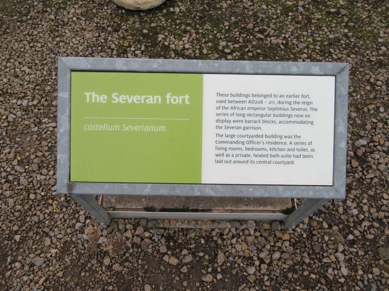
The Severan fort
The Severan fort
Castellum Severianum
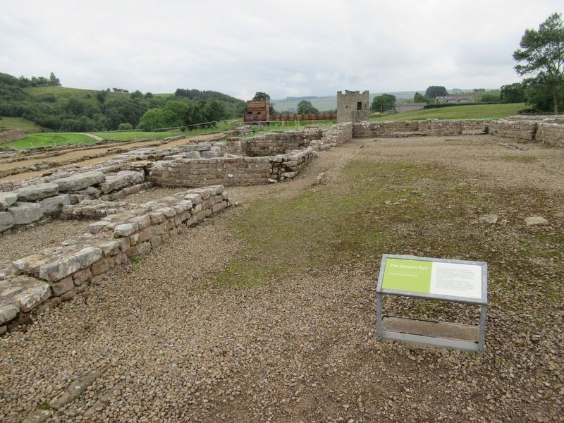
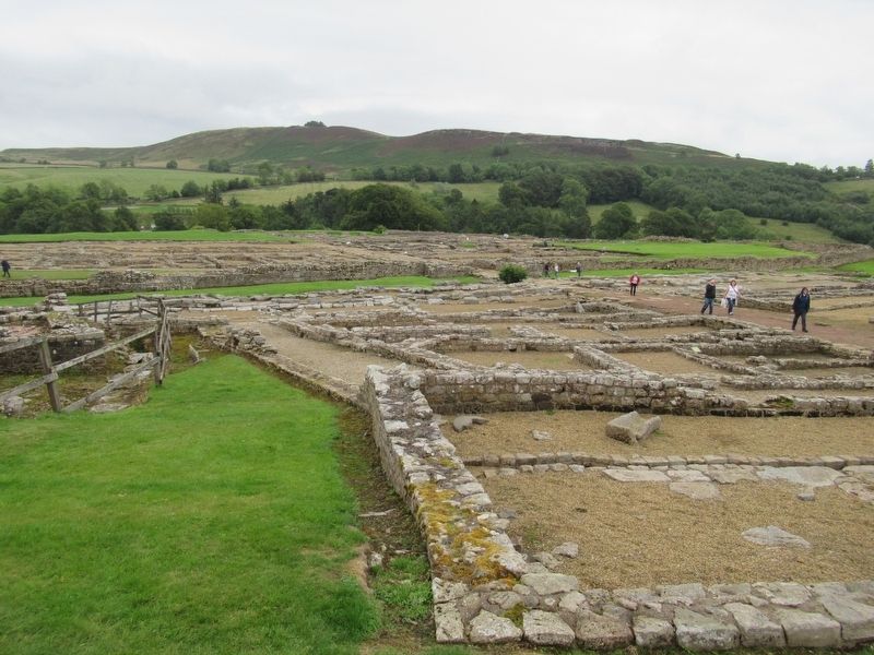
These buildings belonged to an earlier fort, used between AD208 – 211, during the reign of the African emperor Septimius Severus. The series of long rectangular buildings now on display were barrack blocks, accommodating the Severan garrison.
The large courtyarded building was the Commanding Officer's residence. A series of living rooms, bedrooms, kitchen and toilet, as well as a private, heated bath suite had been laid out around its central courtyard.
Topics. This historical marker is listed in these topic lists: Forts and Castles • Settlements & Settlers.
Location. 54° 59.465′ N, 2° 21.685′ W. Marker is in Hexham, England, in Northumberland. Marker can be reached from road 68, 4 kilometers north of Route A69, on the left when traveling north. Located at Vindolanda Roman fort and village archaeological site. Touch for map. Marker is in this post office area: Hexham, England NE47 7JN, United Kingdom. Touch for directions.
Other nearby markers. At least 8 other markers are within walking distance of this marker. Beneath the soil (a few steps from this marker); North West Quadrant Barracks (a few steps from this marker); A military community (within shouting distance of this marker); The heart of the fort (within shouting distance of this marker); Severan Circular Huts (within shouting distance of this marker); The village and fort (within shouting distance of this marker); Workshops (about 90 meters away, measured in a direct line); Dolichenum (about 120 meters away). Touch for a list and map of all markers in Hexham.
Also see . . . Vindolanda. Wikipedia entry (Submitted on November 16, 2018, by Michael Herrick of Southbury, Connecticut.)
Credits. This page was last revised on January 27, 2022. It was originally submitted on November 16, 2018, by Michael Herrick of Southbury, Connecticut. This page has been viewed 123 times since then and 16 times this year. Photos: 1, 2, 3. submitted on November 16, 2018, by Michael Herrick of Southbury, Connecticut.


