Germantown in Montgomery County, Maryland — The American Northeast (Mid-Atlantic)
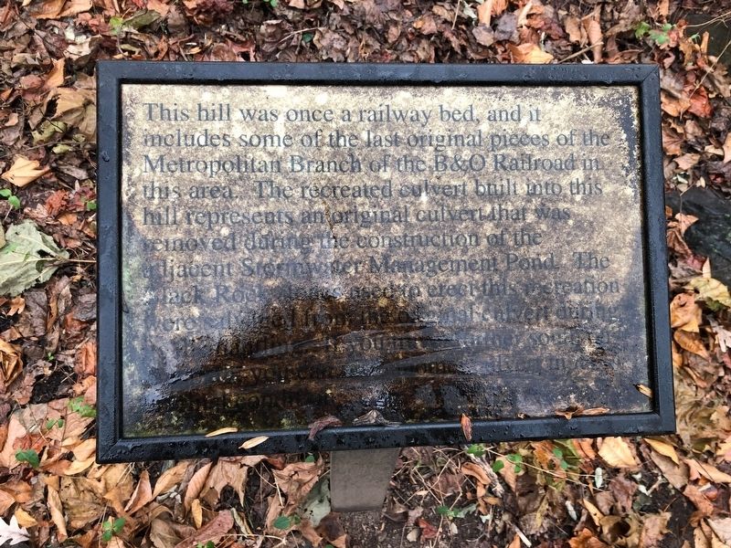
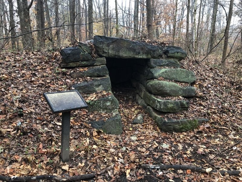
Railway Bed
Topics. This historical marker is listed in this topic list: Railroads & Streetcars.
Location. 39° 10.541′ N, 77° 16.843′ W. Marker has been reported unreadable. Marker is in Germantown, Maryland, in Montgomery County. Marker can be reached from Harvest Glen Way east of Father Hurley Boulevard, on the right when traveling east. There are two visitor parking spots in an opening between two residential buildings. The marker and reconstructed culvert are down the hill in the opening. Touch for map. Marker is at or near this postal address: 13710 Harvest Glen Way, Germantown MD 20874, United States of America. Touch for directions.
Other nearby markers. At least 8 other markers are within 2 miles of this location, measured as the crow flies. The Germantown Bank (approx. half a mile away); Liberty Mill (approx. half a mile away); Reflections of Old Germantown (approx. 0.6 miles away); Welcome to our Earthbench (approx. 1.4 miles away); The Musser Cemetery (approx. 1˝ miles away); To Honor the Memory of George A, (Jay) Chadwick Jr. (approx. 1˝ miles away); Black Hill Gold Mine (approx. 1.6 miles away); Waters' Mill (approx. 1.7 miles away). Touch for a list and map of all markers in Germantown.
Credits. This page was last revised on March 19, 2019. It was originally submitted on November 24, 2018, by Devry Becker Jones of Washington, District of Columbia. This page has been viewed 228 times since then and 23 times this year. Photos: 1, 2. submitted on November 24, 2018, by Devry Becker Jones of Washington, District of Columbia. • Bill Pfingsten was the editor who published this page.

