Natchez in Adams County, Mississippi — The American South (East South Central)
Intersection of High and North Rankin streets
Natchez Trails
Inscription.
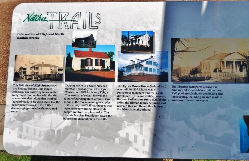
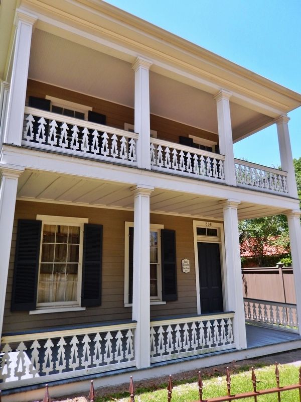
This 1866 view of High Street shows two houses, but one is no longer standing. The surviving house in the foreground has porches with the kind of sawn wooden railing that is called “gingerbread,” because it looks like the paper patterns used in the 1800s to decorate gingerbread with powdered sugar.
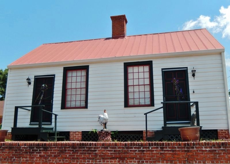
Christopher Kyle, a white Natchez merchant, probably built the Kyle House about 1820 for Nancy Kyle, a “free woman of color.” He was the father of her daughter Caroline. This is one of the few remaining examples of the small, pre-Civil War houses that were home to working-class white people and free people of color. The Historic Natchez Foundation saved the house from demolition in the 1980s.
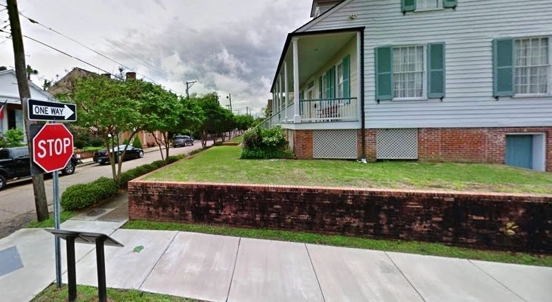
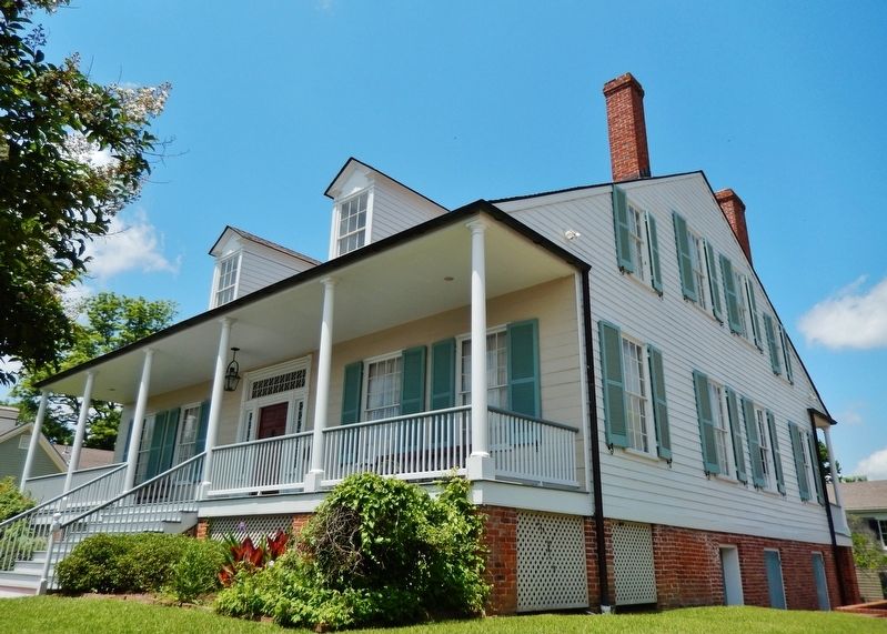
The Cyrus Marsh House (behind you) was built in 1837. Marsh was a prosperous merchant and real estate developer. By the mid-1900s, however, the area had become run-down. In the 1990s, the Tillman family acquired and restored this and three other houses in this historic neighborhood.
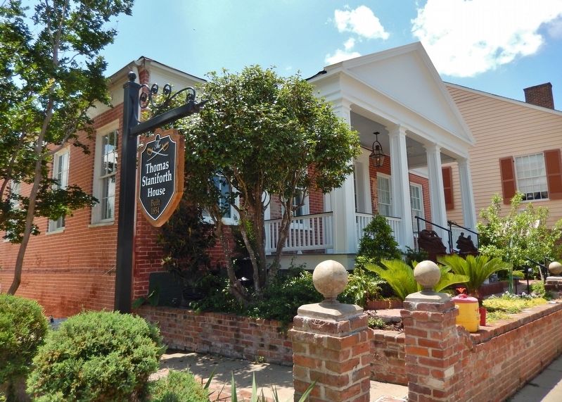
The Thomas Staniforth House was built in 1854 for a Natchez builder. An 1866 photograph shows the fencing and landscaping, including an arch made of vines over the entrance gate.
Erected by City of Natchez, Mississippi.
Topics and series. This historical marker is listed in these topic lists: Architecture • Industry & Commerce. In addition, it is included in the Mississippi - Natchez Trails series list.
Location. 31° 33.647′ N, 91° 23.903′ W. Marker is in Natchez, Mississippi, in Adams County. Marker is at the intersection of High Street and North Rankin Street, on the right when traveling east on High Street. Marker is located along the sidewalk, near the northeast corner of the Cyrus Marsh House, at the southwest corner of the intersection. Touch for map. Marker is at or near this postal address: 314 North Rankin Street, Natchez MS 39120, United States of America. Touch for directions.
Other nearby markers. At least 8 other markers are within walking distance of this marker. Intersection of Jefferson and North Rankin streets (about 300 feet away, measured in a direct line); King's Tavern (about 300 feet away); Jefferson Street Methodist Church (about 500 feet away); Zion Chapel A.M.E. Church (about 500 feet away); 300 Block of Martin Luther King Street (about 500 feet away); Intersection of Jefferson and North Union streets (about 500 feet away); Zion Chapel African Methodist Episcopal Church
(about 600 feet away); Churches in the St. Catherine Street Neighborhood (about 600 feet away). Touch for a list and map of all markers in Natchez.
More about this marker. Marker is a large, rectangular composite plaque, mounted horizontally on waist-high metal posts.
Credits. This page was last revised on September 24, 2020. It was originally submitted on December 4, 2018, by Cosmos Mariner of Cape Canaveral, Florida. This page has been viewed 313 times since then and 56 times this year. Photos: 1. submitted on December 5, 2018, by Cosmos Mariner of Cape Canaveral, Florida. 2, 3, 4, 5, 6. submitted on December 6, 2018, by Cosmos Mariner of Cape Canaveral, Florida. • Andrew Ruppenstein was the editor who published this page.
