Inverness in Highland, Scotland, United Kingdom — Northwestern Europe (the British Isles)
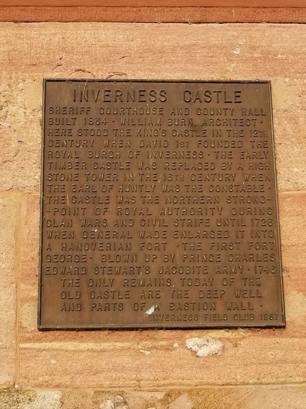
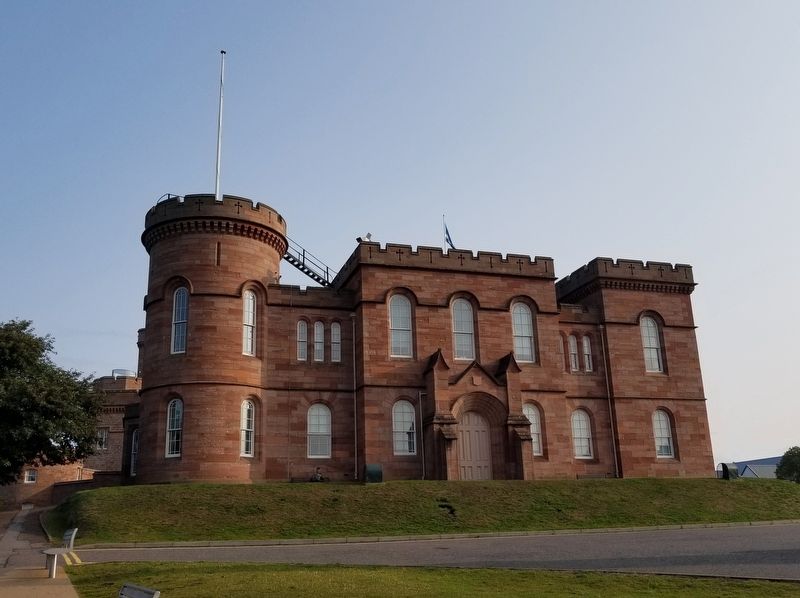
Inverness Castle
Erected 1967 by Inverness Field Club.
Topics. This historical marker is listed in this topic list: Forts and Castles. A significant historical year for this entry is 1834.
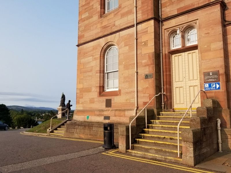
Location. 57° 28.568′ N, 4° 13.514′ W. Marker is in Inverness, Scotland, in Highland. Marker is at the intersection of Castle Road and View Place, on the left when traveling south on Castle Road. Touch for map. Marker is in this post office area: Inverness, Scotland IV2 3EG, United Kingdom. Touch for directions.
Other nearby markers. At least 8 other markers are within 10 kilometers of this marker, measured as the crow flies. Flora MacDonald (within shouting distance of this marker); Upstream, downsteam (within shouting distance of this marker); Inverness Castle Timeline (within shouting distance of this marker); Chapel Yard Cemetery (approx. 0.6 kilometers away); The Innes (approx. 0.8 kilometers away); Knockbain Great Wars Memorial (approx. 7.5 kilometers away); Culloden Battlefield (approx. 7.5 kilometers away); Balnuaran of Clava (approx. 9.2 kilometers away). Touch for a list and map of all markers in Inverness.
Also see . . .
1. Inverness Castle - CastlesFortsBattles.co.uk. (Submitted on December 13, 2018, by Michael Herrick of Southbury, Connecticut.)
2. Inverness Castle on Wikipedia. (Submitted on December 13, 2018, by Michael Herrick of Southbury, Connecticut.)
Credits. This page was last revised on January 27, 2022. It was originally submitted on December 13, 2018, by Michael Herrick of Southbury, Connecticut. This page has been viewed 136 times since then and 14 times this year. Photos: 1, 2, 3. submitted on December 13, 2018, by Michael Herrick of Southbury, Connecticut.


