Milton in Saratoga County, New York — The American Northeast (Mid-Atlantic)
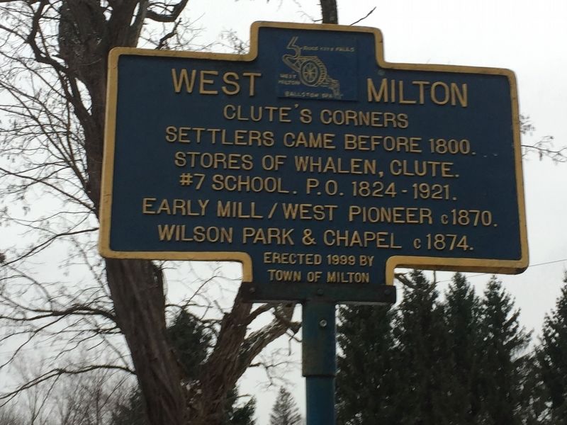
West Milton
Clute’s Corners
Erected 1999 by Town of Milton.
Topics. This historical marker is listed in these topic lists: Industry & Commerce • Settlements & Settlers.
Location. 43° 2.253′ N, 73° 55.747′ W. Marker is in Milton, New York, in Saratoga County. Marker is at the intersection of Atomic Project Road and Crook’s Grove Road, on the right when traveling west on Atomic Project Road. Marker is on the corner of intersection of Atomic Project Road, Crook’s Grove Road and West Milton Road. The entrance to Knolls-Kesselring site is approx 500 yds. just ahead. Touch for map. Marker is in this post office area: Ballston Spa NY 12020, United States of America. Touch for directions.
Other nearby markers. At least 8 other markers are within 4 miles of this marker, measured as the crow flies. A different marker also named West Milton (approx. 0.6 miles away); Rock City Falls (approx. 1.9 miles away); Milton Centre (approx. 2 miles away); Milton Hill (approx. 2.2 miles away); Rose Hill Water Tower (approx. 2½ miles away); Seabury Mills (approx. 3.1 miles away); North Milton (approx. 3½ miles away); Edmund Jennings (approx. 3.7 miles away). Touch for a list and map of all markers in Milton.
Credits. This page was last revised on December 15, 2018. It was originally submitted on December 14, 2018, by Steve Stoessel of Niskayuna, New York. This page has been viewed 212 times since then and 24 times this year. Photo 1. submitted on December 14, 2018, by Steve Stoessel of Niskayuna, New York. • Andrew Ruppenstein was the editor who published this page.
