Southwest Quadrant in Alexandria, Virginia — The American South (Mid-Atlantic)
Brick Making on Broomilaw Point
ca. 1882-1919
| — | City of Alexandria, est. 1749 | — |
Photographed by Devry Becker Jones (CC0), December 22, 2018
1. Brick Making on Broomilaw Point Marker
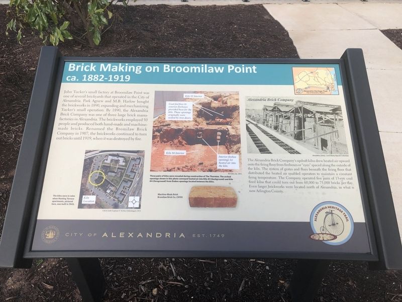
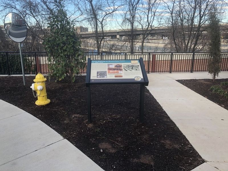
John Tucker's small factory at Broomilaw Point was one of several brickyards that operated in the City of Alexandria. Park Agnew and M.B. Harlow bought the brickworks in 1890, expanding and mechanizing Tucker's small operation. By 1890, the Alexandria Brick Company was one of three large brick manufacturies in Alexandria. The brickworks employed 50 people and produced both hand-made and machine-made bricks. Renamed the Bromilaw Brick Company in 1907, the brickworks continued to turn out bricks until 1919, when it was destroyed by fire.
The Alexandria Brick Company's updraft kilns drew heated air upward onto the firing floor from fireboxes or "eyes" spaced along the outside the kiln. The system of grates and flues beneath the firing floor that distributed the heated air enabled operators to maintain a constant firing temperature. The Company operated five pairs of 13-eye coal fired kilns that could turn out from 60,000 to 75,000 bricks per day. Even larger brickworks were located north of Alexandria, in what is now Arlington County.
Erected by City of Alexandria, Virginia.
Topics and series. This historical
this page online
Location. 38° 47.561′ N, 77° 3.1′ W. Marker is in Alexandria, Virginia. It is in the Southwest Quadrant. It is on Thornton Way west of George Washington Parkway (Virginia Route 400), on the right when traveling west. Touch for map. Marker is at or near this postal address: 1200 Thornton Way, Alexandria VA 22314, United States of America. Touch for directions.

Regionally, this marker is in the Washington Metropolitan Area and in Northern Virginia. It is also in the American South, specifically in the Upper South, in the Mid-Atlantic, and on the Eastern Seaboard. Globally, it is in the North Atlantic Region, North America, the Western Hemisphere, the Western World, and the Anglosphere. Historically, it finds itself in what was once the territory of the Mississippian Culture, one of the original Thirteen Colonies, one of the Confederate States of America, and the Antebellum South.
Other nearby markers. At least 8 other markers are within
Photographed by Devry Becker Jones (CC0), December 22, 2018
2. Brick Making on Broomilaw Point Marker
Photographed by Devry Becker Jones (CC0), December 22, 2018
3. Wildlife of Hunting Creek
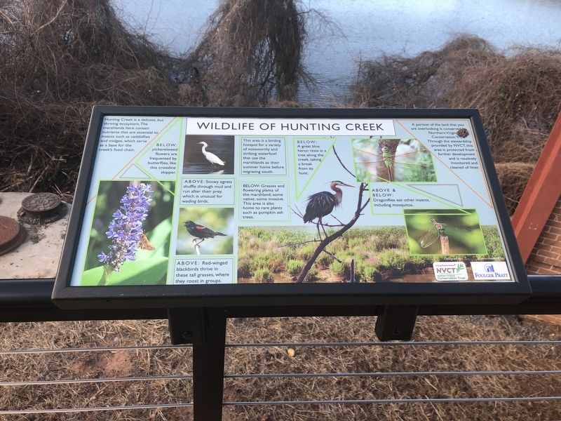
Nature marker also along Thornton Way
Photographed by Devry Becker Jones (CC0), December 22, 2018
4. Being a Good Neighbor to Hunting Creek
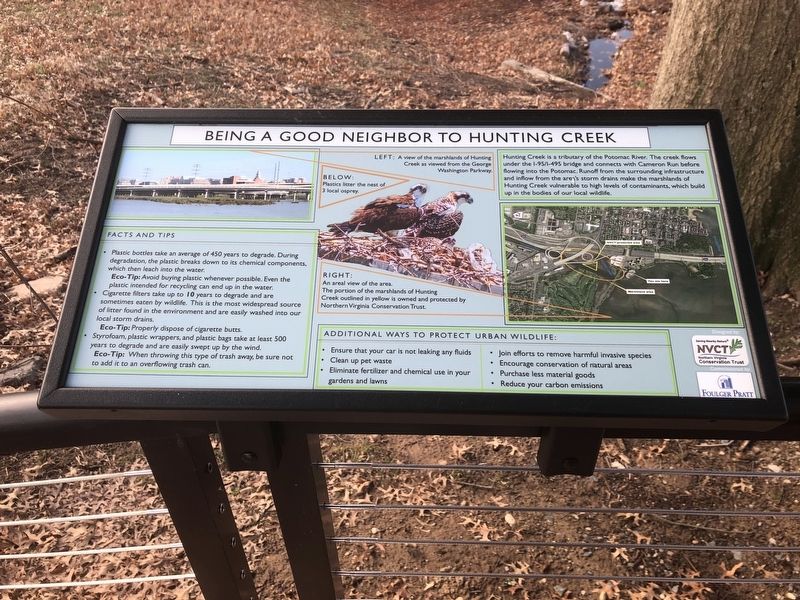
Another additional nature marker along Thornton Way
Credits. This page was last revised on May 25, 2023. It was originally submitted on December 23, 2018, by Devry Becker Jones of Washington, District of Columbia. This page has been viewed 951 times since then and 87 times this year. Photos: 1, 2, 3, 4. submitted on December 23, 2018, by Devry Becker Jones of Washington, District of Columbia. • Andrew Ruppenstein was the editor who published this page.
