Old Town in Alexandria, Virginia — The American South (Mid-Atlantic)
Battery Cove Filled: A New Shipyard

Photographed By Devry Becker Jones (CC0), December 22, 2018
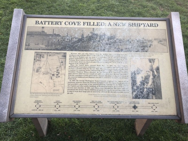
1. Battery Cove Filled: A New Shipyard Marker
When the United States entered World War I in 1917, the new Virginia Shipbuilding Corporation established a yard [unreadable] land of Battery Cove in order to produce ships for the war effort. The [unreadable] a contract to construct twelve, 400-foot-long ships for a price of [unreadable]. President Woodrow Wilson attended the christening of the first ship, Gunston Hall. Gunston Hall was not completed until early 1918, after the war had ended. With the cancellation of the government contract, the shipyard closed. Sections of the concrete bulkhead and shipways can still be seen from the north end of Jones Point Park.
In 1922, the George Washington Stone Company reopened the [unreadable] sandstone quarries down the Potomac at Aquia Creek. The Aquia Creek quarries had provided a great deal of the original building material for the White House, the Capitol and other public buildings of Washington and for many of the houses, taverns, churches of 18th- and 19th-century Alexandria. The stone [unreadable] purchased the former Marine Railway property and used it to mill the stone and to ship it from their large pier or send it by rail over the six railways that served the site.
Topics and series. This historical marker is listed in these topic lists: Industry & Commerce • War, World I. In addition, it is included in the Former U.S. Presidents: #28 Woodrow Wilson series list. A significant historical year for this entry is 1911.
Location. 38° 47.816′ N, 77° 2.409′ W. Marker has been reported unreadable. Marker is in Alexandria, Virginia. It is in Old Town. Marker can be reached from Wharf Street east of Ford's Landing Way, on the right when traveling west. Touch for map. Marker is at or near this postal address: 15 Wharf Street, Alexandria VA 22314, United States of America. Touch for directions.
Other nearby markers. At least 8 other markers are within walking distance of this location. The Alexandria Marine Railway (here, next to this marker); The Civil War and Battery Rodgers (here, next to this marker); Early Alexandria and Keith's Wharf (here, next to this marker); The Federal District and Alexandria (here, next to this marker); The Earliest Inhabitants (a few steps from this marker);

Photographed By Devry Becker Jones (CC0), December 22, 2018
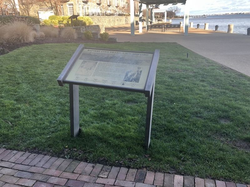
2. Battery Cove Filled: A New Shipyard Marker
Credits. This page was last revised on January 28, 2023. It was originally submitted on December 23, 2018, by Devry Becker Jones of Washington, District of Columbia. This page has been viewed 306 times since then and 22 times this year. Photos: 1, 2. submitted on December 23, 2018, by Devry Becker Jones of Washington, District of Columbia. • Andrew Ruppenstein was the editor who published this page.