Lairg in Highland, Scotland, United Kingdom — Northwestern Europe (the British Isles)
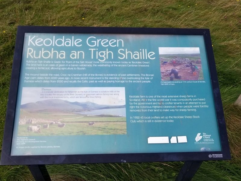
Keoldale Green
Rubha an Tigh Shaille
The mound beside the road, Cnoc na Cnamhan (Hill of the Bones) is evidence of past settlements. This Bronze Age cairn dates from 4000 years ago. A more recent monument is the standing stone overlooking the Kyle of Durness which dates from 2000 and recalls the Celtic past as well as paying homage to the ancient people.
Keoldale farm is one of the most extensive sheep farms in Scotland. After the first world war it was compulsorily purchased by the government and let to crofter tenants in an attempt to put right the notorious Highland clearances when people were forcibly removed from their land to make way for sheep farming.
In 1922 45 local crofters set up the Keoldale Sheep Stock Club which is still in existence today.
( photo caption )
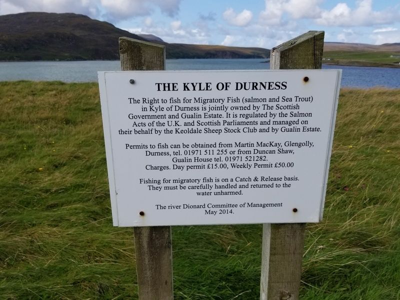
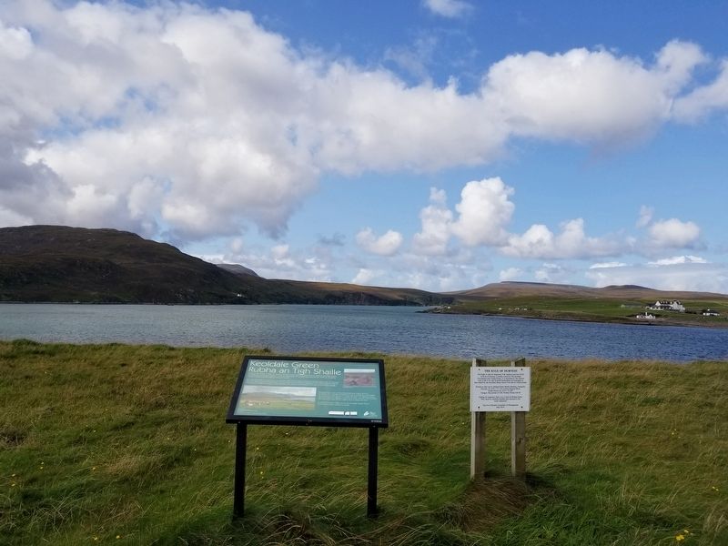
- Durness is a popular destination for fishermen as the Kyle of Durness is a shallow inlet of the sea. It is also the estuary of the River Dionard, an important salmon fishing river along with the local limestone lochs, which are famous for trout fishing.
- Archaeologists excavating an 11th century house Arthur Borralie, 1km north of here.
Topics. This historical marker is listed in this topic list: Settlements & Settlers.
Location. 58° 32.963′ N, 4° 46.687′ W. Marker is in Lairg, Scotland, in Highland. Marker is at the intersection of Route A838 and Unnamed Road to Keoldale, on the right when traveling south on Route A838. Touch for map. Marker is in this post office area: Lairg, Scotland IV27 4QF, United Kingdom. Touch for directions.
Other nearby markers. At least 7 other markers are within 11 kilometers of this marker, measured as the crow flies. Stories in sand (here, next to this marker); Durness (approx. 2.8 kilometers away); Durness War Memorial (approx. 2.8 kilometers away); Ceannabeinne Township Trail (approx. 5.2 kilometers away); a different marker also named Ceannabeinne Township Trail (approx. 5.2 kilometers away); Ceannabeinne (approx. 5.9 kilometers away); Mark of Gratitude (approx. 10.1 kilometers away).
Credits. This page was last revised on January 27, 2022. It was originally submitted on December 28, 2018, by Michael Herrick of Southbury, Connecticut. This page has been viewed 306 times since then and 35 times this year. Photos: 1, 2, 3. submitted on December 28, 2018, by Michael Herrick of Southbury, Connecticut.


