Forres in Moray, Scotland, United Kingdom — Northwestern Europe (the British Isles)
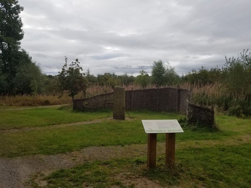
Fortune’s Beacon
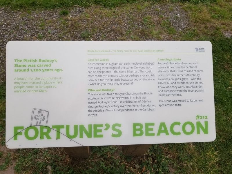
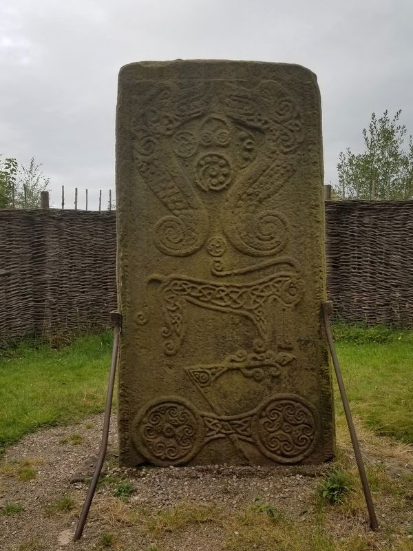
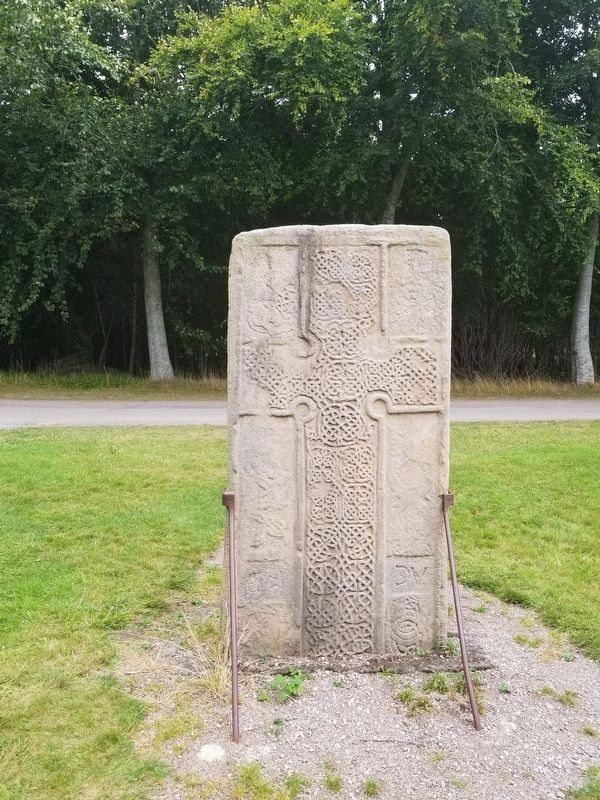
The Pictish Rodney’s Stone was carved around 1,200 years ago.
A beacon for the community, it may have marked a place where people came to be baptised, married or hear Mass.
Brodie born and bred … The family home to over #400 varieties of daffodil
Lost for words
An inscription in Ogham (an early medieval alphabet) runs along three edges of the stone. Only one word can be deciphered - the name Ethernan. This could refer to the 7th-century saint or perhaps a local chief. Look out for the fantastic beasts carved on the stone — what do you think they represent?
Who was Rodney?
The stone was taken to Dyke Church on the Brodie estate, after it was re-discovered in 1781. It was named Rodney's Stone — in celebration of Admiral George Rodney's victory over the French fleet during the American War of Independence in the Caribbean in 1782.
A moving tribute
Rodney's Stone has been moved several times over the centuries. We know that it was re-used at some point, possibly in the 16th century, to mark a couple's grave — with the letters AC and KB added. We do not know who they were, but Alexander and Katharine were the most popular names at the time.
The stone was moved to its current spot around 1840.
Topics. This historical marker is listed in this topic list: Settlements & Settlers. A significant historical year for this entry is 1781.
Location. 57° 35.852′ N, 3° 42.066′ W. Marker is in Forres, Scotland, in Moray. Marker is on Scotland Route A96, half a kilometer north of an unnamed road, on the left when traveling east. Touch for map. Marker is in this post office area: Forres, Scotland IV36 2WT, United Kingdom. Touch for directions.
Other nearby markers. At least 6 other markers are within 10 kilometers of this marker, measured as the crow flies. Findhorn Tercentenary (approx. 8.6 kilometers away); Kinloss War Memorial (approx. 8.6 kilometers away); Kinloss Abbey (approx. 8.9 kilometers away); Five Centuries in Kinloss (approx. 9 kilometers away); The Cistercians of Kinloss (approx. 9 kilometers away); Nairn Fishwife (approx. 9.6 kilometers away).
Also see . . . Rodney's Stone on Wikipedia. (Submitted on December 31, 2018, by Michael Herrick of Southbury, Connecticut.)
Credits. This page was last revised on January 27, 2022. It was originally submitted on December 31, 2018, by Michael Herrick of Southbury, Connecticut. This page has been viewed 269 times since then and 30 times this year. Photos: 1, 2, 3, 4. submitted on December 31, 2018, by Michael Herrick of Southbury, Connecticut.


