Roosevelt in Kimble County, Texas — The American South (West South Central)
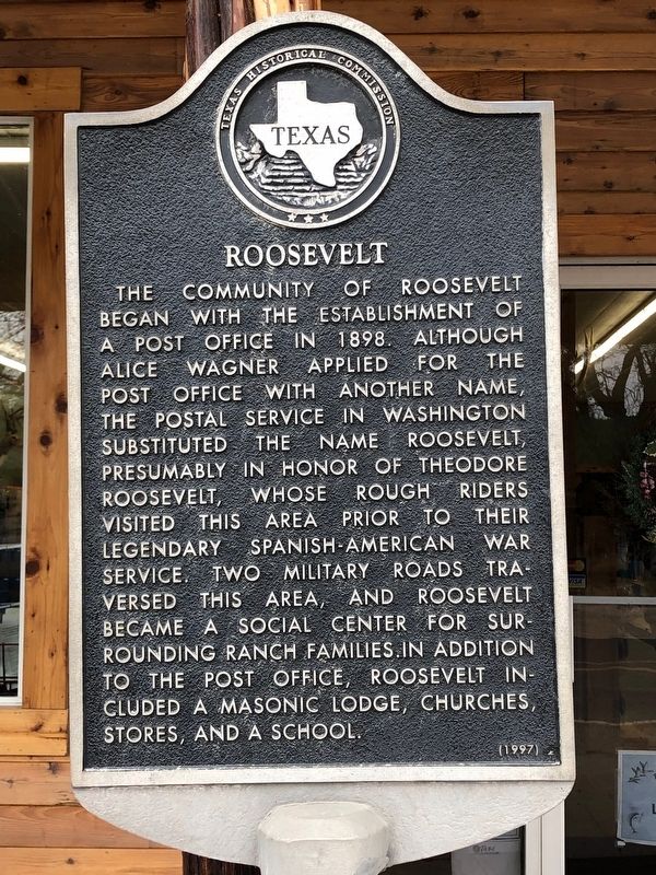
Roosevelt
Erected 1997 by Texas Historical Commission. (Marker Number 4343.)
Topics and series. This historical marker is listed in this topic list: Settlements & Settlers. In addition, it is included in the Former U.S. Presidents: #26 Theodore Roosevelt, and the Postal Mail and Philately series lists. A significant historical year for this entry is 1898.
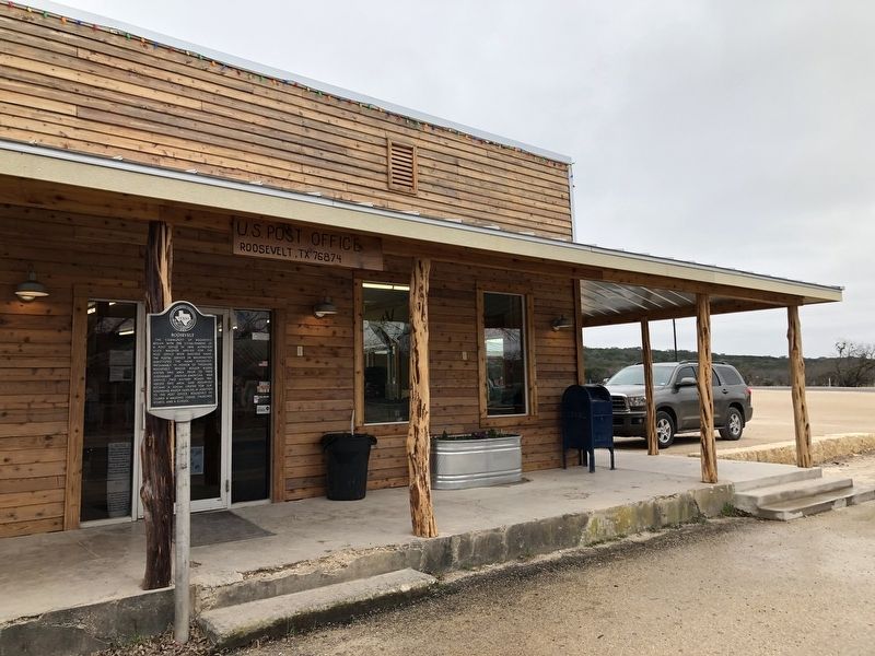
Location. 30° 29.443′ N, 100° 3.376′ W. Marker is in Roosevelt, Texas, in Kimble County. Marker is on Allison Road (Loop State Highway 291), on the right when traveling east. Touch for map. Marker is at or near this postal address: 3861 State Loop 291, Roosevelt TX 76874, United States of America. Touch for directions.
Other nearby markers. At least 8 other markers are within 13 miles of this marker, measured as the crow flies. Ft. McKavett – Ft. Clark Military Road (approx. 0.4 miles away); Coalson-Pullen Colony (approx. 3.1 miles away); Copperas Methodist Church (approx. 4.6 miles away); Capt. Gully Cowsert (approx. 4.8 miles away); Site of Fort Terrett (approx. 8 miles away); Doom of the Outlaws of Pegleg Station (approx. 12.1 miles away); R. M. Turner Family (approx. 12.6 miles away); Brambletye (approx. 13 miles away).
Also see . . . Roosevelt, TX - The Handbook of Texas Online. Texas State Historical Association (TSHA) (Submitted on January 2, 2019, by Brian Anderson of Humble, Texas.)
Credits. This page was last revised on January 2, 2019. It was originally submitted on January 2, 2019, by Brian Anderson of Humble, Texas. This page has been viewed 218 times since then and 25 times this year. Photos: 1, 2. submitted on January 2, 2019, by Brian Anderson of Humble, Texas.

