Seguin in Guadalupe County, Texas — The American South (West South Central)
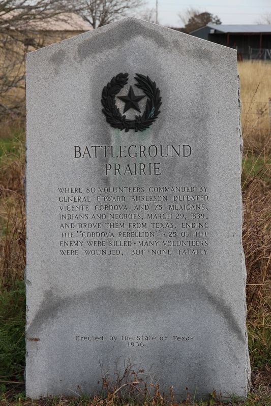
Battleground Prairie
Erected 1936 by the State of Texas. (Marker Number 336.)
Topics and series. This historical marker is listed in this topic list: War, Texas Independence. In addition, it is included in the Texas 1936 Centennial Markers and Monuments series list. A significant historical date for this entry is March 29, 1839.
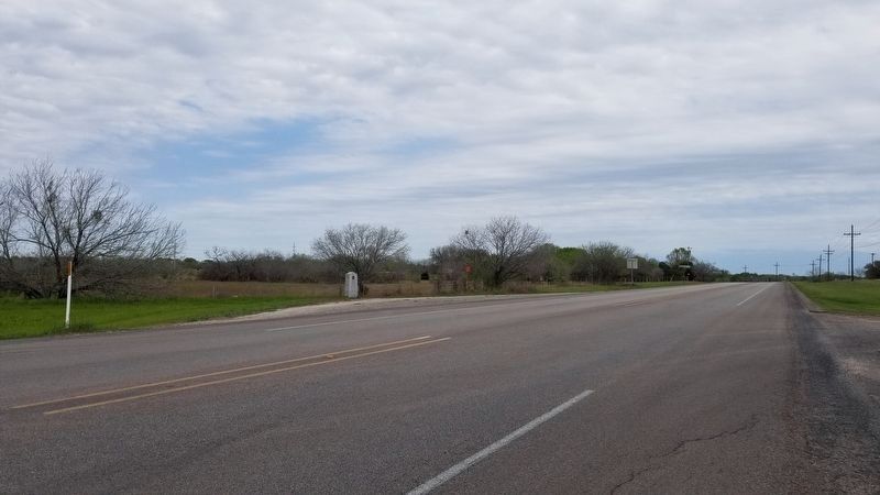
Location. 29° 34.185′ N, 97° 53.296′ W. Marker is in Seguin, Texas, in Guadalupe County. Marker is at the intersection of Alternate U.S. 90 and Pankau Road (County Road 205), on the right when traveling west on U.S. 90Alternate . Touch for map. Marker is in this post office area: Seguin TX 78155, United States of America. Touch for directions.
Other nearby markers. At least 8 other markers are within 5 miles of this marker, measured as the crow flies. Tiemann School (approx. 1˝ miles away); Elijah Valentine Dale (approx. 2.8 miles away); George Washington Lonis (approx. 2.8 miles away); Robert D. McAnelly (approx. 2.8 miles away); Andrew Jackson Sowell (approx. 2.8 miles away); John N. Sowell (approx. 2.8 miles away); King Family Cemetery (approx. 3.8 miles away); Timothy Pickering Jones (approx. 4˝ miles away). Touch for a list and map of all markers in Seguin.
Also see . . . Cordova Rebellion - The Handbook of Texas Online. Texas State Historical Association (TSHA) (Submitted on January 2, 2019, by Brian Anderson of Humble, Texas.)
Credits. This page was last revised on March 29, 2021. It was originally submitted on January 2, 2019, by Brian Anderson of Humble, Texas. This page has been viewed 889 times since then and 183 times this year. Photos: 1. submitted on January 2, 2019, by Brian Anderson of Humble, Texas. 2. submitted on March 28, 2021, by James Hulse of Medina, Texas.

