Dillon in Beaverhead County, Montana — The American West (Mountains)
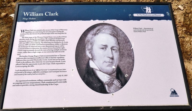
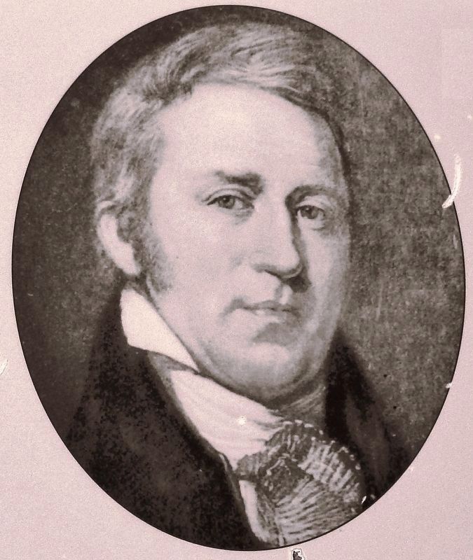
William Clark
Map Maker
His three maps of the Western United States were produced from sketches made during the expedition. He completed detailed maps during the winters of 1804 and 1805 in Fort Mandan and between 1805 and 1806 in Fort Clatsop. The third map was finished in St. Louis between 1809 and 1810. Clark had an extraordinary ability to illustrate the landscapes he observed onto a one-dimensional map as well as a natural instinct to determine the course of rivers beyond his sight. Clark's maps accurately showed the west as having multiple mountain ranges, rather than a single range, as was commonly believed at the time.
His brother George Rogers Clark recommended him to Thomas Jefferson after turning down Jefferson's offer to lead the expedition. Jefferson then recruited Meriwether Lewis. Lewis had served under Clark in the military, after which the two men became friends. Lewis offered Clark the opportunity to join the Corps. Clark responded to Lewis accepting the offer.
I will cheerfully join you in an “official Carrector” as mentioned in your letter and partake of the dangers, difficulties and fatigues and I anticipate the honers and rewards of the result of such an enterprise…
—July 18, 1803
An experienced woodsman, military commander and surveyor with an outgoing and even temperament, Clark complemented Lewis’s skills and traits to provide a strong shared leadership of the Corps.
Erected by Montana State Parks.
Topics and series. This historical marker is listed in this topic list: Exploration. In addition, it is included in the Former U.S. Presidents: #03 Thomas Jefferson, and the Lewis & Clark Expedition series lists.
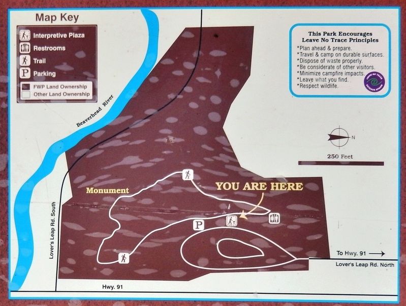
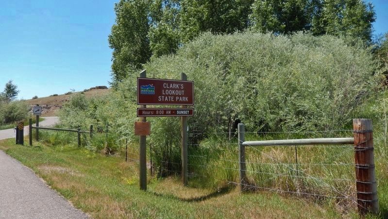
Location. 45° 14.114′ N, 112° 37.982′ W. Marker is in Dillon, Montana, in Beaverhead County. Marker is on Clarks Lookout Road west of State Highway 91, on the right when traveling south. Marker is located in Clark's Lookout State Park, at the trailhead on the west side of the parking lot. Touch for map. Marker is at or near this postal address: 25 Clarks Lookout Road, Dillon MT 59725, United States of America. Touch for directions.
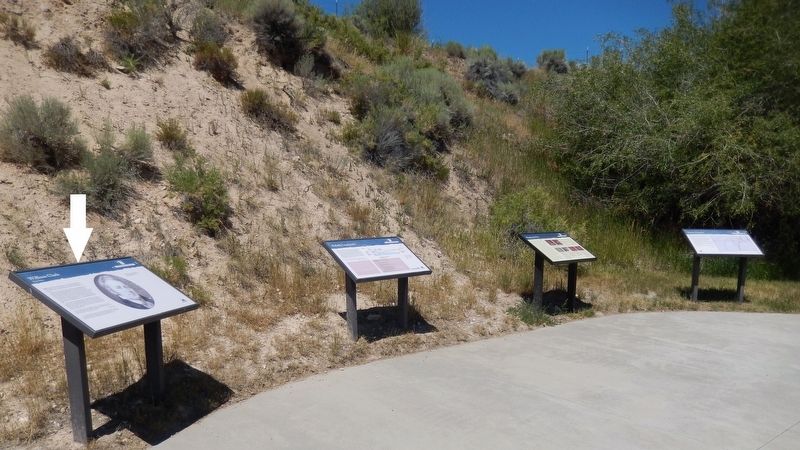
Other nearby markers. At least 8 other markers are within 2 miles of this marker, measured as the crow flies. Reliable Landmarks (here, next to this marker); Mapping the Way (here, next to this marker); Distant Features (here, next to this marker); Clark Pocket Compass Monument (about 300 feet away, measured in a direct line); Beaverhead County World War II Memorial (approx. ¾ mile away); City of Dillon City Hall (approx. 1.2 miles away); Dillon City Hall Historic District (approx. 1.2 miles away); Dillon Implement Company (approx. 1.2 miles away). Touch for a list and map of all markers in Dillon.
More about this marker. Marker is a large, framed composite plaque, mounted horizontally on waist-high metal posts.
Related markers. Click
here for a list of markers that are related to this marker. Clark's Lookout State Park
Also see . . . Clark was an excellent mapmaker. What made Clark so marvelous as a cartographer, even though his maps look to us today to be a bit crude, was that he had an incredible instinct and feel for the landscape. You see a beauty in the ability of this guy to recognize the landscape, and to convert what he’s seeing in a horizontal perspective into that vertical map perspective. Most people can’t do that, most people can’t see that readily. Clark could, and he could see it better than almost any other explorer, and as a consequence, he is without peer as a map maker, given the state of his equipment. (Submitted on January 3, 2019, by Cosmos Mariner of Cape Canaveral, Florida.)
Credits. This page was last revised on November 24, 2019. It was originally submitted on January 3, 2019, by Cosmos Mariner of Cape Canaveral, Florida. This page has been viewed 286 times since then and 22 times this year. Photos: 1, 2, 3, 4, 5. submitted on January 3, 2019, by Cosmos Mariner of Cape Canaveral, Florida. • Andrew Ruppenstein was the editor who published this page.
