Dayton in Liberty County, Texas — The American South (West South Central)
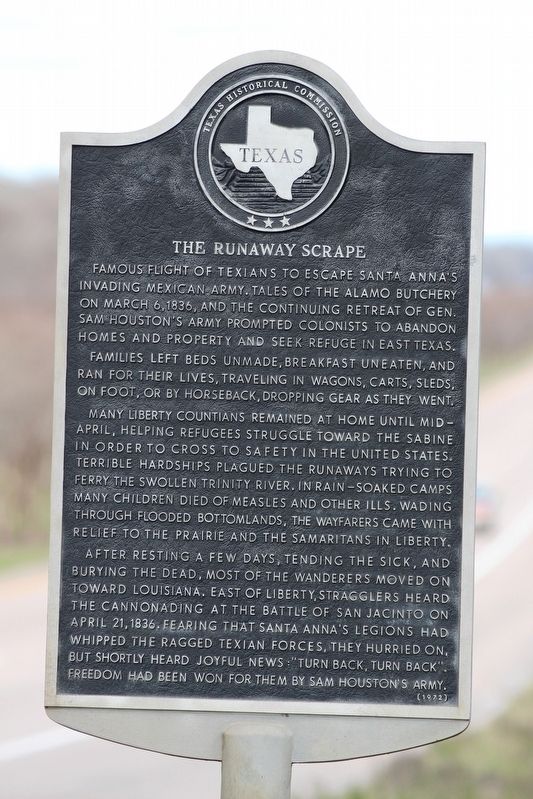
The Runaway Scrape
Families left beds unmade, breakfast uneaten, and ran for their lives, traveling in wagons, carts, sleds, on foot, or by horseback, dropping gear as they went.
Many Liberty Countians remained at home until mid-April, helping refugees struggle toward the Sabine in order to cross to safety in the United States. Terrible hardships plagued the runaways trying to ferry the swollen Trinity River. In rain-soaked camps many children died of measles and other ills. Wading through flooded bottomlands, the wayfarers came with relief to the prairie and the Samaritans in Liberty.
After resting a few days, tending the sick, and burying the dead, most of the wanderers moved on toward Louisiana. East of Liberty, stragglers heard the cannonading at the Battle San Jacinto on April 21, 1836. Fearing that Santa Anna's legions had whipped the ragged Texian forces, they hurried on, but shortly heard joyful news: "Turn back, turn back". Freedom had been won for them by Sam Houston's army.
Erected 1972 by Texas Historical Commission. (Marker Number 9683.)
Topics. This historical marker is listed in this topic list: War, Texas Independence. A significant historical month for this entry is April 1836.
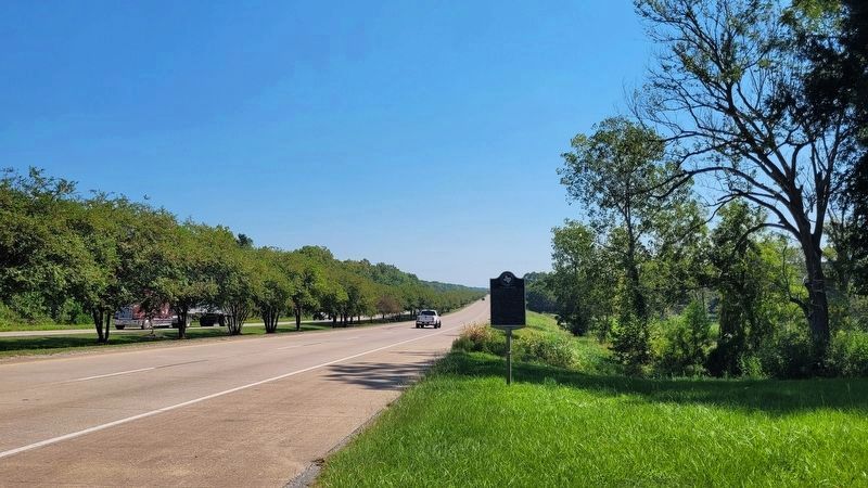
Location. 30° 2.981′ N, 94° 52.809′ W. Marker is in Dayton, Texas, in Liberty County. Marker is on U.S. 90, on the right when traveling east. Touch for map. Marker is at or near this postal address: 800 East US 90, Dayton TX 77535, United States of America. Touch for directions.
Other nearby markers. At least 8 other markers are within walking distance of this marker. Annie Colbert - Rosenwald School (approx. ¼ mile away); Dayton's Early Economy (approx. half a mile away); Early History of Dayton's African American Community (approx. half a mile away); Dayton's Early History (approx. half a mile away); Dayton's Namesake (approx. half a mile away); Dayton's Volunteer Fire Department (approx. half a mile away); 1937 Dayton City Hall (approx. half a mile away); The Murder of Louis "Frenchy" Cashat (approx. half a mile away). Touch for a list and map of all markers in Dayton.
Also see . . . Runaway Scrape - The Handbook of Texas Online. Texas State Historical Association (TSHA) (Submitted on January 7, 2019, by Brian Anderson of Humble, Texas.)
Credits. This page was last revised on September 22, 2022. It was originally submitted on January 7, 2019, by Brian Anderson of Humble, Texas. This page has been viewed 322 times since then and 34 times this year. Photos: 1. submitted on January 7, 2019, by Brian Anderson of Humble, Texas. 2. submitted on September 22, 2022, by James Hulse of Medina, Texas.

