Dover in Kent, England, United Kingdom — Northwestern Europe (the British Isles)
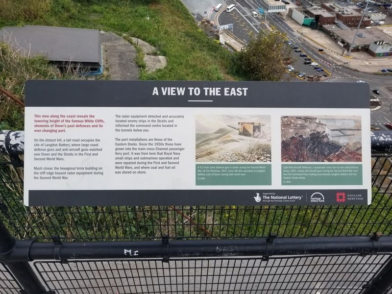
A View to the East
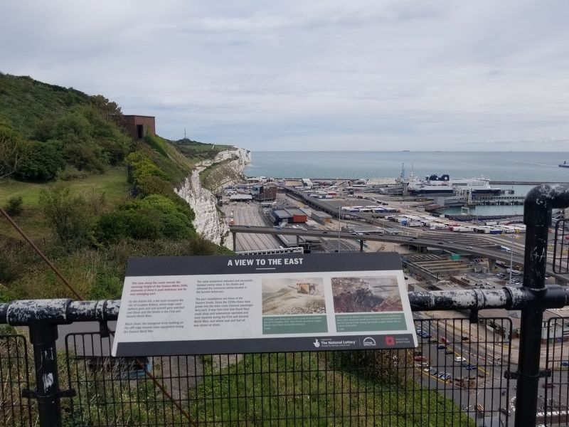
On the distant hill, a tall mast occupies the site of Langdon Battery, where large coast defence guns and anti-aircraft guns watched over Dover and the Straits in the First and Second World Wars.
Much closer, the hexagonal brick building on the cliff edge housed radar equipment during the Second World War.
The radar equipment detected and accurately located enemy ships in the Straits and informed the command centre located in the tunnels below you.
The port installations are those of the Eastern Docks. Since the 1950s these have grown into the main cross-Channel passenger ferry port. It was from here that Royal Navy small ships and submarines operated and were repaired during the First and Second World Wars, and where coal and fuel oil was stored on shore.
( photo captions )
- A 9.2-inch coast defence gun in action during the Second World War, by Eric Ravilious, 1941. Guns like this operated at Langdon Battery, east of Dover, during both world wars.
- Light Anti-aircraft Defences: a quadruple Lewis Gun by war artist Anthony Gross, 1941, shows anti-aircraft guns during the Second World War near the Fire Command Post, looking east towards Langdon Battery with the Eastern Docks below
Topics. This historical marker is listed in these topic lists: War, World I • War, World II. A significant historical year for this entry is 1941.
Location. 51° 7.6′ N, 1° 19.508′ E. Marker is in Dover, England, in Kent. Marker can be reached from the intersection of Castle Hill Road and Canons Gate Road, on the left when traveling south. Located at the Hospital Battery at the cliff’s edge next to Dover Castle. Touch for map. Marker is in this post office area: Dover, England CT16 1HU, United Kingdom. Touch for directions.
Other nearby markers. At least 8 other markers are within walking distance of this marker. A View of the Harbour (here, next to this marker); The Signal Platform (here, next to this marker); A View to the West (a few steps from this marker); Finding the Enemy (a few steps from this marker); Command, Control and Communication (within shouting distance of this marker); Fighting the Enemy in the Sky (within shouting distance of this marker); Operation Dynamo (within shouting distance of this marker); Ramsay: retreat and return (within shouting distance of this marker). Touch for a list and map of all markers in Dover.
Credits. This page was last revised on January 27, 2022. It was originally submitted on January 11, 2019, by Michael Herrick of Southbury, Connecticut. This page has been viewed 102 times since then and 10 times this year. Photos: 1, 2. submitted on January 11, 2019, by Michael Herrick of Southbury, Connecticut.

