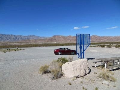
Near Alamo in Lincoln County, Nevada — The American Mountains (Southwest)
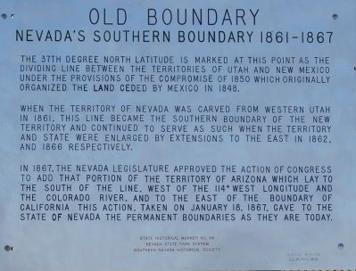
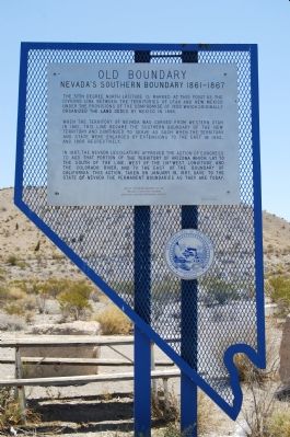
Old Boundary
Nevada’s Southern Boundary 1861-1867
When the Territory of Nevada was carved from western Utah in 1861, this line became the southern boundary of the new territory and continued to serve as such when the Territory and State were enlarged by extensions to the east in 1862 and 1866 respectively.
In 1867, the Nevada Legislature approved the action of Congress to add that portion of the Territory of Arizona which lay to the south of this line, west of the 114 degree west longitude and the Colorado River, and to the east of the boundary of California. This action, taken on January 18, 1867, gave to the State of Nevada the permanent boundaries as they are today.
Erected 1978 by Nevada State Park System, Southern Nevada Historical Society. (Marker Number 58.)
Topics. This historical marker is listed in this topic list: Political Subdivisions. A significant historical month for this entry is January 1866.
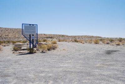
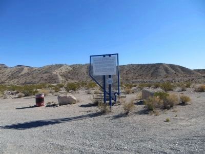
Location. 37° 2.677′ N, 114° 59.065′ W. Marker is near Alamo, Nevada, in Lincoln County. Marker is on U.S. 93 at milepost 13,, 30 miles south of Alamo, Nevada , on the right when traveling north. Touch for map. Marker is in this post office area: Alamo NV 89001, United States of America. Touch for directions.
Credits. This page was last revised on June 16, 2016. It was originally submitted on June 24, 2007, by Dawn Bowen of Fredericksburg, Virginia. This page has been viewed 1,472 times since then and 41 times this year. Photos: 1, 2, 3. submitted on June 24, 2007, by Dawn Bowen of Fredericksburg, Virginia. 4, 5. submitted on October 17, 2013, by Bill Kirchner of Tucson, Arizona. • J. J. Prats was the editor who published this page.
