Near Silcott in Asotin County, Washington — The American West (Northwest)
Lewis & Clark Historic Trail
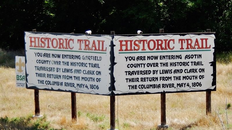
(left panel – in Asotin County – facing westbound traffic)
You are now entering Garfield County over the historic trail traversed by Lewis and Clark on their return from the mouth of the Columbia River, May 4, 1806.
(right panel – in Garfield County – facing eastbound traffic)
You are now entering Asotin County over the historic trail traversed by Lewis and Clark on their return from the mouth of the Columbia River, May 4, 1806.
Erected by Justin Breithaupt - Eagle Scout Project.
Topics and series. This historical marker is listed in this topic list: Exploration. In addition, it is included in the Lewis & Clark Expedition series list. A significant historical date for this entry is May 4, 1806.
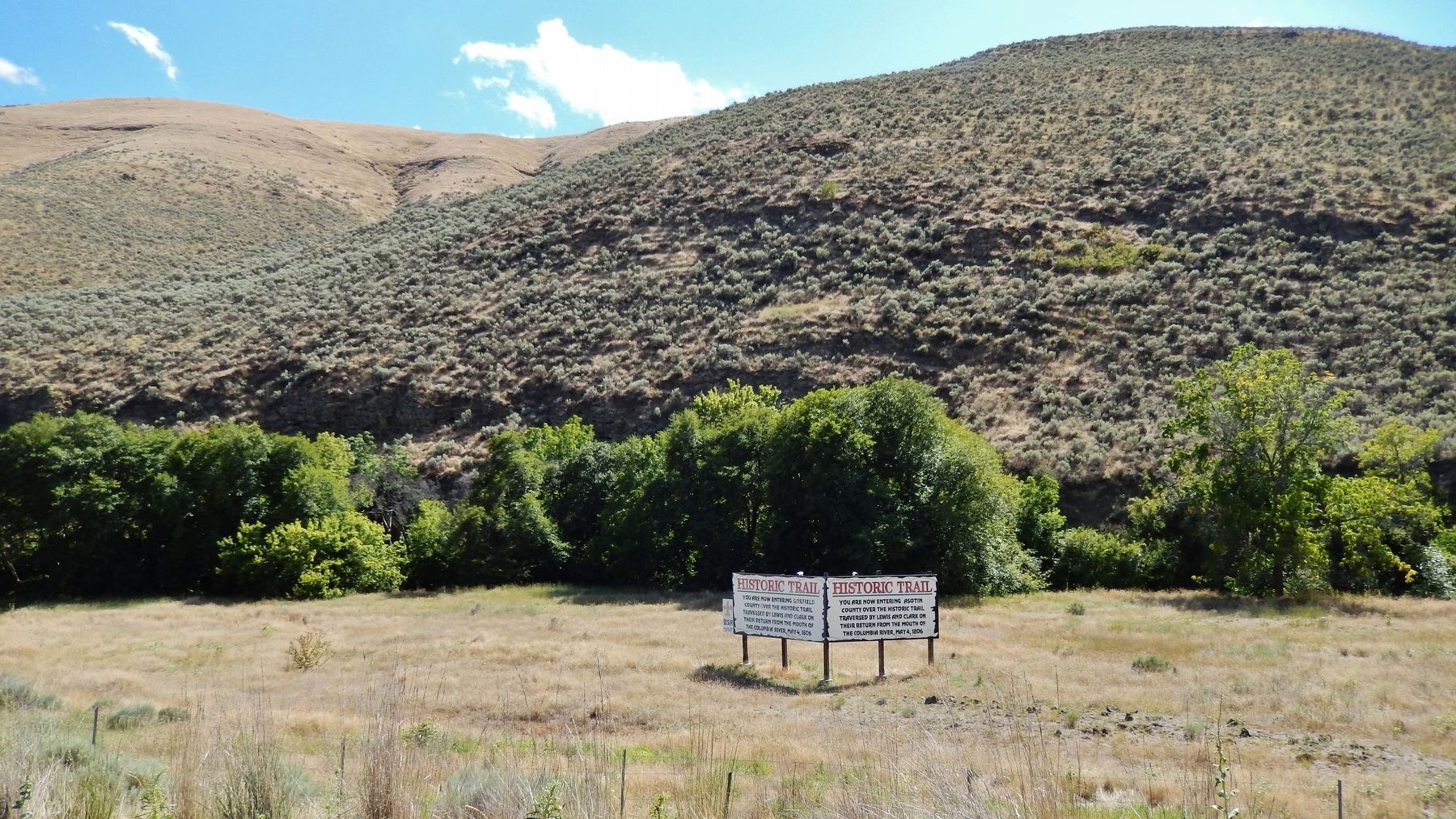
Location. 46° 24.64′ N, 117° 16.129′ W. Marker is near Silcott, Washington, in Asotin County. Marker is on U.S. 12, 2.9 miles west of Westlake Drive, on the right when traveling east. Marker is located in the field beyond a pull-out the south side of the highway, about 50 yards from the road. Touch for map. Marker is in this post office area: Clarkston WA 99403, United States of America. Touch for directions.
Other nearby markers. At least 7 other markers are within 13 miles of this marker, measured as the crow flies. Temuut'su (approx. 2.7 miles away); Álpáwayma Village (approx. 3.6 miles away); Snake River Passage & Columbia Plains Crossing (approx. 3.6 miles away); Lewis and Clark Expedition (approx. 7.6 miles away); "the Soil is extreamly fertile" (approx. 7.6 miles away); Lewis and Clark Enter Washington (approx. 8.9 miles away); Colton (approx. 12.8 miles away).
More about this marker. This marker is a large, 2-panel painted wooden billboard.
Also see . . . Journals of the Lewis & Clark Expedition: May 4, 1806. Lewis: "Collected our horses and set out early; the morning was cold and disagreeable... we ascended the Lard. hills of the creek and steered N. 60° E. 4 miles through a high level plain to a ravine which forms the source of a small creek"[1]
1 • Alpowa Creek, in Garfield County, Washington. It reaches the Snake river in Asotin County, Washington. They may first have struck its upper branches, Megginson Gulch and Stember Creek in Garfield County; the direction of travel to the creek would probably have been more nearly due east. (Submitted on January 25, 2019, by Cosmos Mariner of Cape Canaveral, Florida.)
Credits. This page was last revised on January 29, 2019. It was originally submitted on January 24, 2019, by Cosmos Mariner of Cape Canaveral, Florida. This page has been viewed 215 times since then and 21 times this year. Photos: 1, 2. submitted on January 25, 2019, by Cosmos Mariner of Cape Canaveral, Florida. • Andrew Ruppenstein was the editor who published this page.

