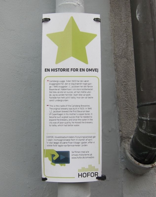
En historie for en omvej / A Story of a Detour
Carlsberg Breweries
-
Erected by HOFOR, Hovedstadsområdets Forsyningsselskab.
Topics. This historical marker is listed in this topic list: Industry & Commerce. A significant historical year for this entry is 1603.
Location. 55° 40.663′ N, 12° 34.497′ E. Marker is in Copenhagen, Hovedstaden (Capital Region, Copenhagen), in Københavns Kommune.
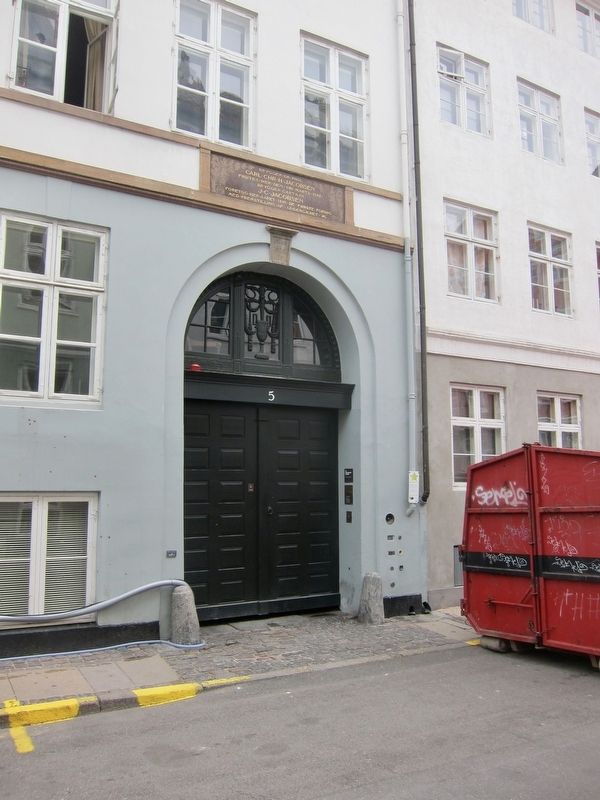
It is in Middelalderbyen. Marker is at the intersection of Brolæggerstræde and Knabrostræde, on the right when traveling east on Brolæggerstræde. Touch for map. Marker is at or near this postal address: Brolæggerstræde 5, Copenhagen, Hovedstaden 1211, Denmark. Touch for directions.
Other nearby markers. At least 8 other markers are within walking distance of this marker. Carl and J.C. Jacobsen (here, next to this marker); J.C. Jacobsen (a few steps from this marker); Samvirkende Fagforbund / Cooperative Trade Union (within shouting distance of this marker); Han Christian Lumbye (about 120 meters away, measured in a direct line); Holger Danske Gruppe War Memorial (about 180 meters away); Tomb of the Unknown Concentration Camp Prisoner (about 180 meters away); Harald Høffding (about 180 meters away); Holger Drachmann (approx. 0.2 kilometers away). Touch for a list and map of all markers in Copenhagen.
Also see . . . History of Carlsberg (YouTube, 4.5 mins.). (Submitted on January 25, 2019.)
Additional keywords. mindeplade
Credits. This page was last revised on January 10, 2021. It was originally submitted on January 24, 2019, by Andrew Ruppenstein of Lamorinda, California. This page has been viewed 217 times since then and 12 times this year. Photos: 1. submitted on January 24, 2019, by Andrew Ruppenstein of Lamorinda, California. 2. submitted on January 25, 2019, by Andrew Ruppenstein of Lamorinda, California.

