Bethesda in Montgomery County, Maryland — The American Northeast (Mid-Atlantic)
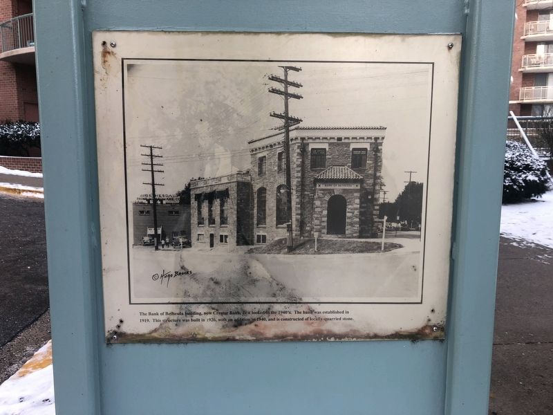
The Bank of Bethesda Building
Topics. This historical marker is listed in this topic list: Industry & Commerce. A significant historical year for this entry is 1919.
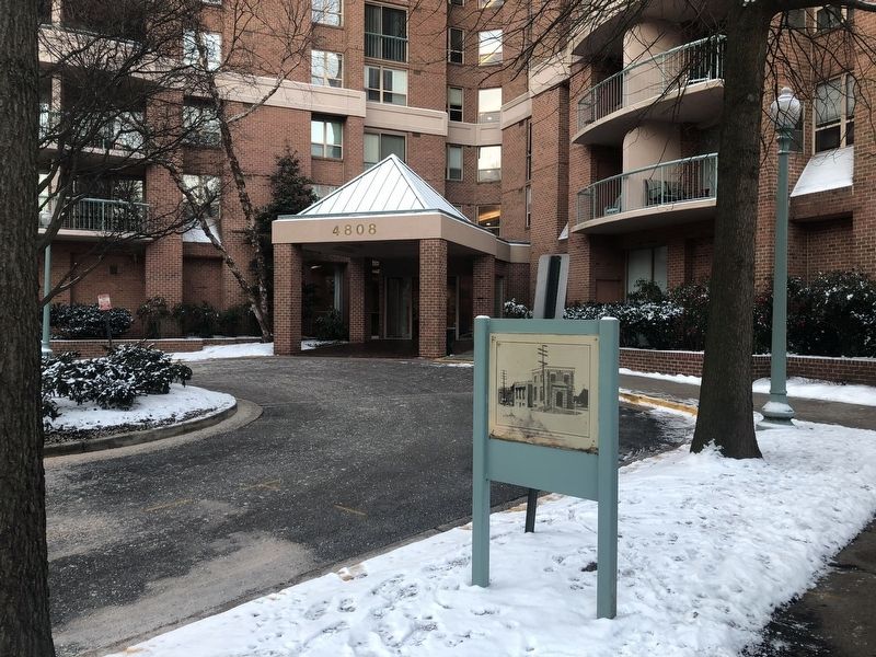
Location. Marker has been reported missing. It was located near 38° 59.146′ N, 77° 5.87′ W. Marker was in Bethesda, Maryland, in Montgomery County. Marker was on Moorland Lane west of Old Georgetown Road (Maryland Route 187), on the right when traveling east. Touch for map. Marker was at or near this postal address: 4816 Moorland Lane, Bethesda MD 20814, United States of America. Touch for directions.
Other nearby markers. At least 8 other markers are within walking distance of this location. Old Georgetown Road (within shouting distance of this marker); Looking North up Wisconsin Avenue at Old Georgetown Road in 1940 (within shouting distance of this marker); This Complex of Buildings and Gardens (about 300 feet away, measured in a direct line); Locust Grove (about 400 feet away); a different marker also named Old Georgetown Road (about 400 feet away); Tennallytown and Rockville Railroad (about 400 feet away); Robert W. Lebling (approx. 0.2 miles away); Five Points, historic crossroads (approx. 0.2 miles away). Touch for a list and map of all markers in Bethesda.
More about this marker. The Bank of Bethesda building was at the corner of Old Georgetown Road and Wisconsin Avenue. On the photograph shown on this marker, Wisconsin Avenue, heading north, is on the right and Old Georgetown Road is on the left.
Credits. This page was last revised on May 15, 2023. It was originally submitted on February 2, 2019, by Devry Becker Jones of Washington, District of Columbia. This page has been viewed 507 times since then and 63 times this year. Last updated on May 14, 2023, by Laura Edwards of Bethesda, Maryland. Photos: 1, 2. submitted on February 2, 2019, by Devry Becker Jones of Washington, District of Columbia.

