Near Soda Springs in Nevada County, California — The American West (Pacific Coastal)
Ice Lakes
Hwy 40 Scenic Bypass
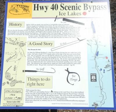
Inscription.
History
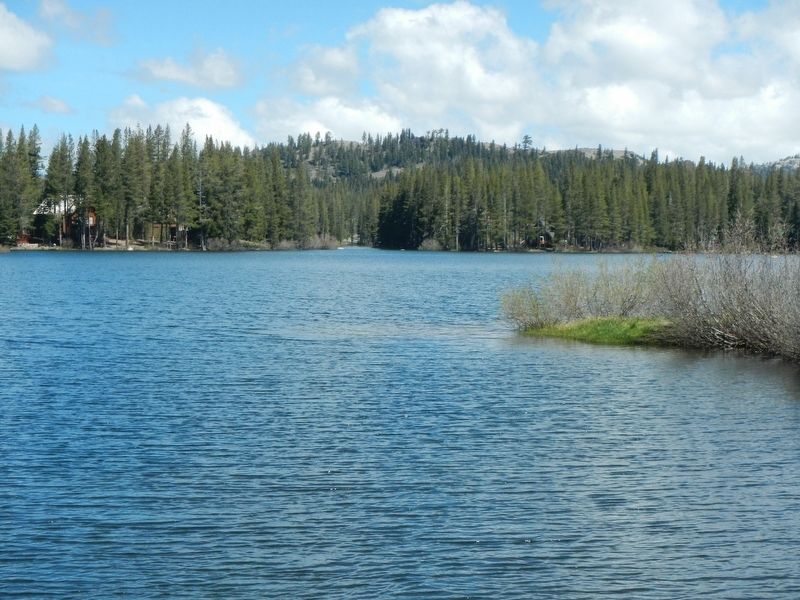
Before 1850 you drank your root beer or sarsaparilla warm in California. Then ice began to be imported from Alaska. No one realized there was a closer supply in the Sierra. Ice Lakes got its name from the ice industry that arrived here in 1868, headed by B.B. Redding, who once fly fished 200 trout out of the American River in a day. He was also the Secretary of State of California, State printer, and RR land agent, among other things. When the ice was thick enough it was incised, sawn into blocks, and floated to the ice houses on the lake shore. There it was stored pending transportation to the railroad and then San Francisco. The industry didn't last long through. Although the ice in Ice Lakes gets to be five feet thick. the climate, snowfall and snow depth were just too much on Donner Summit (400 inches or so of snow a year). The Summit Ice Co. moved to Prosser in 1870. Note the 1866 map to the left shows 3 Ice Lakes which was true until the dam was built in the 1940's.
A Good Story
The Dreams he had.
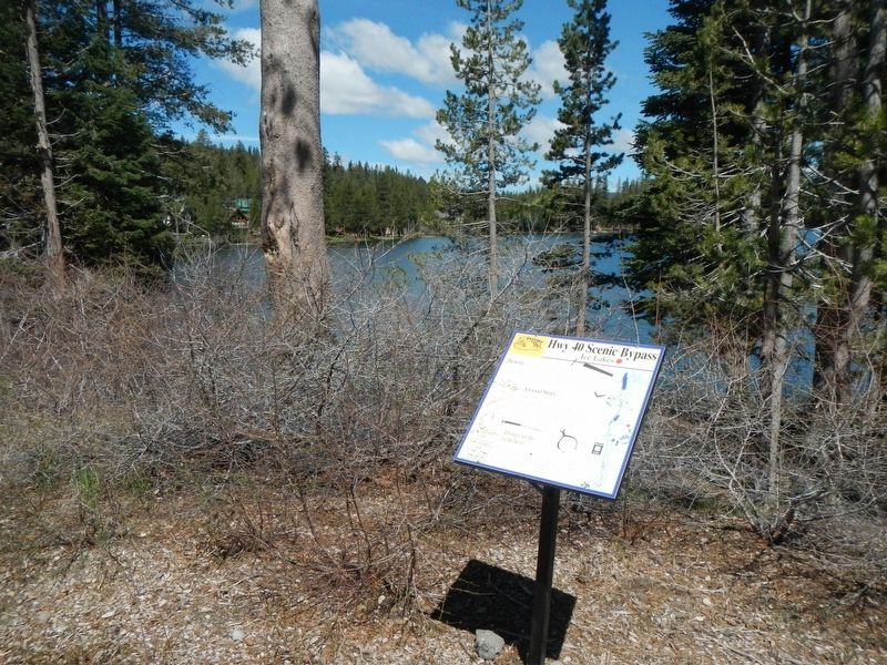
In 1866 Fitz William Redding Jr. from Nova Scotia, became the first settler here at Ice Lakes. He built a small 12 x 12 plank cabin on the edge of the lakes just across from here. He was alone, but over the hill the railroad was coming and there was lots of activity. Fitz William must have had big plans for the 160 acres that he was aiming to patent (buy) from the government for #2.50 an acre. He cut trees and readied his land for grazing. He even stocked the first fish in the lakes by planting 300 fish. He probably was surprised by the snow and left for Sacramento spending most of the winter there. He returned in the spring but might have had trouble finding his cabin under the drifts of snow. He got sick, went back to Sacramento, and died - age 20.
Things to do right here
• Walk around the lakes.
• The 3,000 acres surrounding Serene Lakes belong to the Land Trust. Go to their trailhead on the east side of Soda Springs Rd. or go to the trailhead opposite Royal Gorge's Summit Station on Pahatsi Rd. and walk through the forests. The views from the surrounding peaks are fantastic. On Rowton Pk. there are Sierra Junipers more than a thousand years old and a natural arch carved by the weather in the volcanic conglomerate.
•Read more about the ice industry here at www.DonnerSummitHistoricalSociety.org/pages/stories.
Erected by Donner Summit Historical Society.
Topics and series. This historical marker is listed in this topic list: Industry & Commerce. In addition, it is included in the Donner Summit Historical Society series list.
Location. 39° 17.735′ N, 120° 22.924′ W. Marker is near Soda Springs, California, in Nevada County. Marker is on Soda Springs Road near Serene Road, on the right when traveling south. Touch for map. Marker is at or near this postal address: 1111 Soda Springs Road, Soda Springs CA 95728, United States of America. Touch for directions.
Other nearby markers. At least 8 other markers are within 2 miles of this marker, measured as the crow flies. Emigrant Wagon Route (approx. 1.2 miles away); Truckee Trail - Leaving Summit Valley (approx. 1.2 miles away); Lake Van Norden Dam (approx. 1.8 miles away); Dutch Flat Donner Lake Wagon Road (approx. 1.9 miles away); Truckee Trail - Through Boulder Field (approx. 1.9 miles away); Soda Springs Hotel (approx. 1.9 miles away); Summit Valley Native American Mortars (approx. 1.9 miles away); Summit Valley Sheep Pens (approx. 1.9 miles away). Touch for a list and map of all markers in Soda Springs.
Credits. This page was last revised on February 6, 2019. It was originally submitted on February 5, 2019, by Barry Swackhamer of Brentwood, California. This page has been viewed 211 times since then and 18 times this year. Photos: 1, 2, 3. submitted on February 5, 2019, by Barry Swackhamer of Brentwood, California.


