
Historic Sodus Point
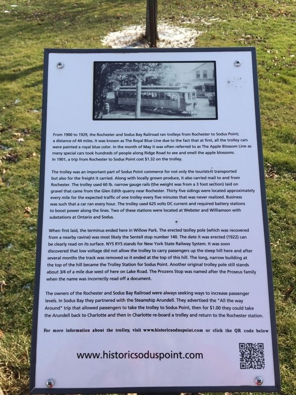
The trolley was an important part of Sodus Point commerce for not only the tourists-it transported but also for the freight it carried. Along with locally grown produce, it also carried mail to and from Rochester. The trolley used 60 lb. narrow gauge rails (the weight was from a 3 foot section) laid on gravel that came from the Glen Edith quarry near Rochester. Thirty five sidings were located approximately every mile for the expected traffic of one trolley every five minutes that was never realized. Business was such that a car ran every hour. The trolley used 625 volts DC current and required battery stations to boost power along the
this page online
When first laid, the terminus ended here in Willow Park. The erected trolley pole (which was recovered from a nearby ravine) was most likely the Sentell stop number 140. The date it was erected (1922) can be clearly read on its surface. NYS RYS stands for New York State Railway System. It was soon discovered that low voltage did not allow the trolley to carry passengers up the steep hill here and after several months the track was removed so it ended at the top of this hill. The long, narrow building at the top of the hill became the Trolley Station for Sodus Point. Another original trolley pole still stands about 3/4 of a mile due west of here on Lake Road. The Prozens Stop was named after the Proseus family when the name was incorrectly read off a document.
The owners of the Rochester and Sodus Bay Railroad were always seeking ways to increase passenger levels. In Sodus Bay they partnered with the Steamship Arundell. They advertised the "All the way Around” trip that allowed passengers to take the trolley to Sodus
Topics. This historical marker is listed in this topic list: Railroads & Streetcars. A significant historical year for this entry is 1900.
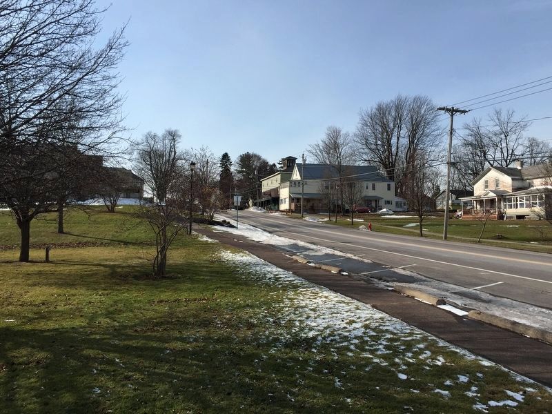
Location. 43° 16.227′ N, 76° 58.927′ W. Marker is in Sodus Point, New York, in Wayne County. It is on New York State Route 14, on the right when traveling north. Marker is in the little park. Touch for map. Marker is in this post office area: Sodus Point NY 14555, United States of America. Touch for directions.

Regionally, this marker is in Upstate New York, specifically in Western New York, in the Finger Lakes, and in the Rochester Metropolitan Area. It is also in the American Northeast and in the Mid-Atlantic. Globally, it is in North America, on the Great Lakes, in the Western Hemisphere, in the Western World, and in the Anglosphere. Historically, it finds itself in what was once the Haudenosaunee (Iroquois) Confederacy, New Netherland, and one of the original Thirteen Colonies.
Other nearby markers. At least 8 other markers are within walking distance of this marker: The War of 1812 (within shouting distance of this marker); Battle of Sodus Point (within shouting distance of this marker); A French Inspired Flotilla (about 500 feet away, measured in a direct line); Sodus Point (about 700 feet away); Sodus Point World War I Memorial (approx. 0.2 miles away); Underground Railroad In Sodus Point Mural (approx. 0.2 miles away); Native American Fishing Mural (approx. ¼ mile away); a different marker also named The Battle of Sodus Point (approx. ¼ mile away). Touch for a list and map of all markers in Sodus Point.
Credits. This page was last revised on February 12, 2019. It was originally submitted on February 10, 2019, by Steve Stoessel of Niskayuna, New York. This page has been viewed 332 times since then and 14 times this year. Photos: 1, 2. submitted on February 10, 2019, by Steve Stoessel of Niskayuna, New York. • Andrew Ruppenstein was the editor who published this page.
