Sodus Point in Wayne County, New York — The American Northeast (Mid-Atlantic)
Battle of Sodus Point
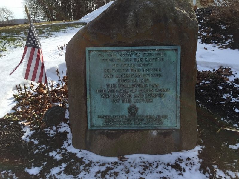
Photographed by Steve Stoessel, February 10, 2019
1. Battle of Sodus Point Marker
Erected 1927 by US Daughters of 1812 Gen. John Swift Chapter.
Topics and series. This historical marker is listed in this topic list: War of 1812. In addition, it is included in the United States Daughters of 1812, National Society series list. A significant historical date for this entry is June 19, 1813.
Location. 43° 16.231′ N, 76° 58.97′ W. Marker is in Sodus Point, New York, in Wayne County. It is on New York State Route 14, on the right when traveling north. The marker is in the little Peace Garden. Touch for map. Marker is in this post office area: Sodus Point NY 14555, United States of America. Touch for directions.

Regionally, this marker is in Upstate New York, specifically in Western New York, in the Finger Lakes, and in the Rochester Metropolitan Area. It is also in the American Northeast and in the Mid-Atlantic. Globally, it is in North America, on the Great Lakes, in the Western Hemisphere, in the Western
this page online
Other nearby markers. At least 8 other markers are within walking distance of this marker: The War of 1812 (here, next to this marker); Historic Sodus Point (within shouting distance of this marker); Sodus Point (about 600 feet away, measured in a direct line); A French Inspired Flotilla (about 700 feet away); Sodus Point World War I Memorial (about 800 feet away); Underground Railroad In Sodus Point Mural (approx. 0.2 miles away); Native American Fishing Mural (approx. 0.2 miles away); a different marker also named The Battle of Sodus Point (approx. 0.2 miles away). Touch for a list and map of all markers in Sodus Point.
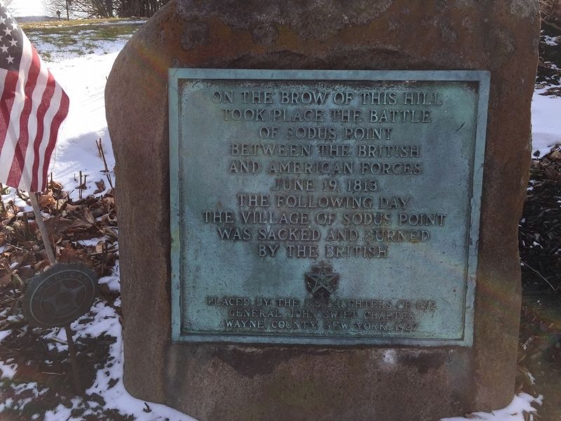
Photographed by Steve Stoessel, February 10, 2019
2. Battle of Sodus Point Marker
Another photo of marker.
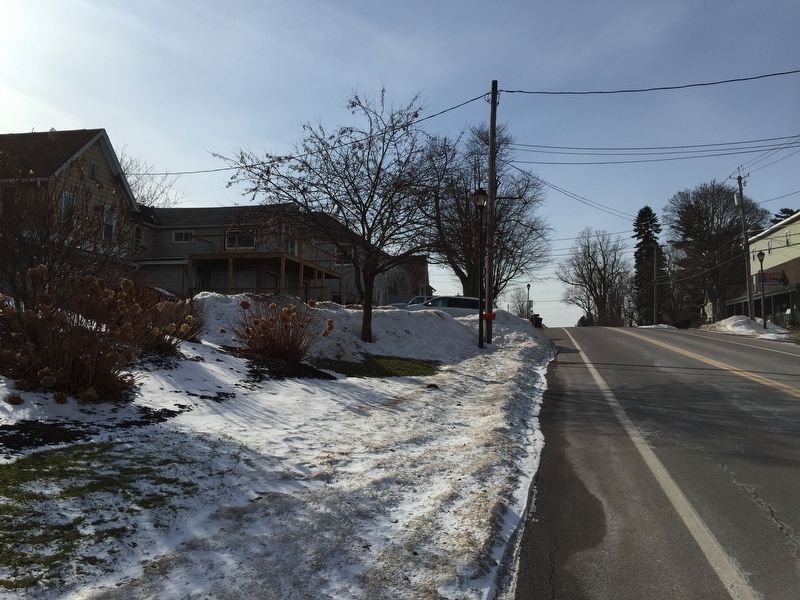
Photographed by Steve Stoessel, February 10, 2019
3. A view up the the hill
This is looking up the hill from the marker. It is actually a a little ridge across the base of the headland that Sodus Point sits on.
Credits. This page was last revised on February 13, 2019. It was originally submitted on February 11, 2019, by Steve Stoessel of Niskayuna, New York. This page has been viewed 667 times since then and 28 times this year. Photos: 1, 2, 3. submitted on February 11, 2019, by Steve Stoessel of Niskayuna, New York. • Andrew Ruppenstein was the editor who published this page.
