Fernley in Lyon County, Nevada — The American Mountains (Southwest)
Rush to the River
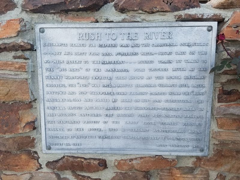
Snowshoe Thompson Chapter No. 1827 of the Ancient and Honorable Order of E Clampus Vitus, April 7, 2019
1. Rush to the River Marker
Dedicated by Snowshoe Thompson Chapter No. 1827 E Clampus Vitus August 28 1982
Erected 1982 by E Clampus Vitus Snowshoe Thompson Chapter No. 1827.
Topics and series. This historical marker is listed in this topic list: Settlements & Settlers. In addition, it is included in the E Clampus Vitus series list. A significant historical date for this entry is January 16, 1844.
Location. 39° 36.331′ N,
this page online

Regionally, this marker is in the Sierra Nevada and in Greater Reno Area. It is also in the American Mountain West. Globally, it is in North America, the Western Hemisphere, the Western World, and the Anglosphere. Historically, it finds itself in what was once New Spain and also Mexico’s Alta California.
Other nearby markers. At least 8 other markers are within 6 miles of this marker, measured as the crow flies: America's First Transcontinental Highway (approx. 1.1 miles away); Truckee Trail - Act of Mercy (approx. 1.4 miles away); Truckee Trail - Dead Cattle / T.R.R. 6 - Trail Turning Point (approx. 2½ miles away); Wadsworth (approx. 2.8 miles away); The First Drink of Cold Water (approx. 5.3 miles away); The Dwight D. Eisenhower Highway (approx. 5.3 miles away); Olinghouse
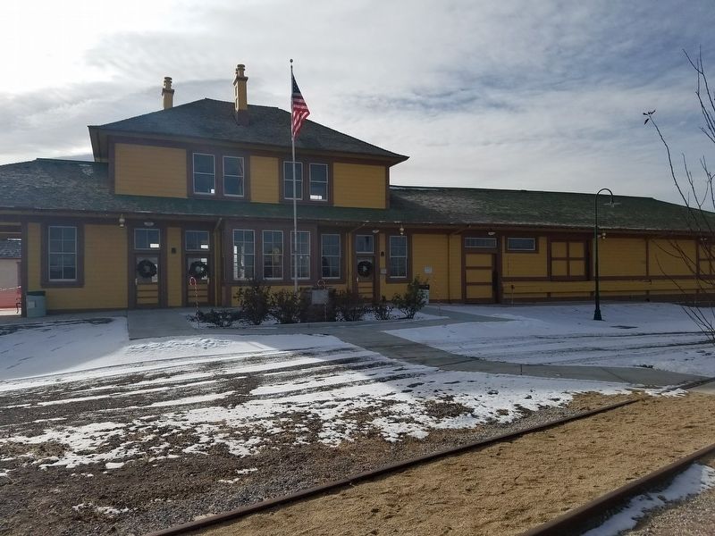
Snowshoe Thompson Chapter No. 1827 of the Ancient and Honorable Order of E Clampus Vitus, April 7, 2019
2. Fernley and Lassen Railway Depot
Credits. This page was last revised on April 10, 2019. It was originally submitted on April 7, 2019, by Frank Gunshow Sanchez of Hollister, California. This page has been viewed 666 times since then and 41 times this year. Photos: 1. submitted on April 7, 2019, by Frank Gunshow Sanchez of Hollister, California. 2. submitted on April 7, 2019. • Andrew Ruppenstein was the editor who published this page.
