Helena in Karnes County, Texas — The American South (West South Central)
Helena
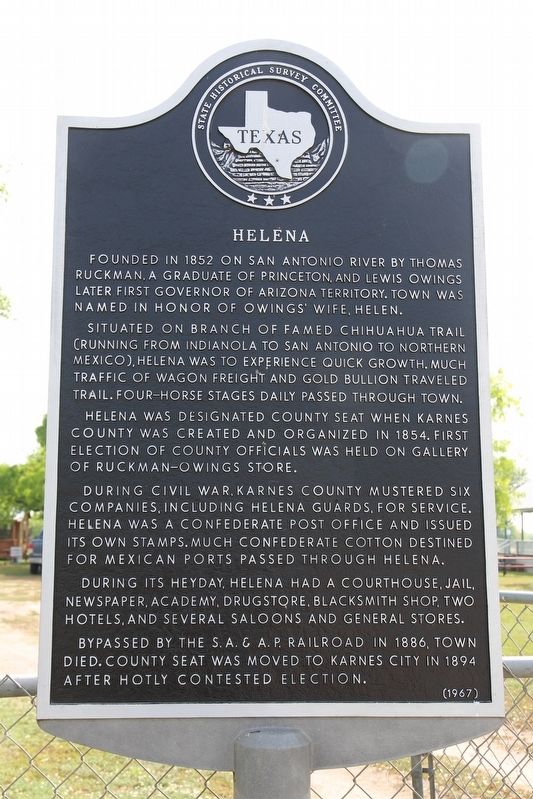
Founded in 1852 on San Antonio River by Thomas Ruckman, a graduate of Princeton, and Lewis Owings, later first Governor of Arizona Territory. Town was named in honor of Owings' wife, Helen.
Situated on branch of famed Chihuahua Trail (running from Indianola to San Antonio to Northern Mexico), Helena was to experience quick growth. Much traffic of wagon freight and gold bullion traveled trail. Four-horse stages daily passed through town.
Helena was designated county seat when Karnes County was created and organized in 1854. First election of county officials was held on gallery of Ruckman-Owings Store.
During Civil War, Karnes County mustered six companies, including Helena Guards, for service. Helena was a Confederate post office and issued its own stamps. Much Confederate cotton destined for Mexican ports passed through Helena.
During its heyday, Helena had a courthouse, jail, newspaper, academy, drugstore, blacksmith shop, two hotels, and several saloons and general stores.
Bypassed by the S.A. & A.P. Railroad in 1886, town died. County seat was moved to Karnes City in 1894 after hotly contested election.
Erected 1967 by State Historical Survey Committee. (Marker Number 2428.)
Topics. This historical marker is listed in this topic list: Settlements & Settlers. A significant historical year for this entry is 1852.
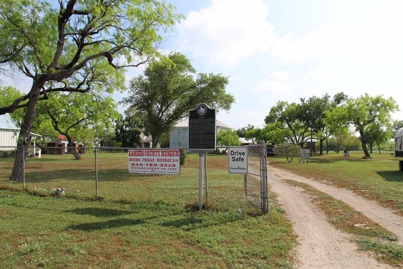
Location. 28° 57.037′ N, 97° 49.214′ W. Marker is in Helena, Texas, in Karnes County. Marker is on Farm to Market Road 81 south of County Road 302, on the left when traveling north. Touch for map. Marker is in this post office area: Karnes City TX 78118, United States of America. Touch for directions.
Other nearby markers. At least 8 other markers are within 5 miles of this marker, measured as the crow flies. Thomas Ruckman (within shouting distance of this marker); Ox-Cart Road (within shouting distance of this marker); Helena Union Church (within shouting distance of this marker); Old Helena Courthouse (within shouting distance of this marker); St. Joseph's School (approx. 4.7 miles away); Immaculate Conception Church (approx. 4.7 miles away); Town of Panna Maria (approx. 4.7 miles away); Panna Maria, Texas (approx. 4.7 miles away). Touch for a list and map of all markers in Helena.
Also see . . . Helena, TX - The Handbook of Texas Online. Texas State Historical Association (TSHA) (Submitted on April 17, 2019, by Brian Anderson of Humble, Texas.)
Credits. This page was last revised on November 25, 2020. It was originally submitted on April 17, 2019, by Brian Anderson of Humble, Texas. This page has been viewed 154 times since then and 6 times this year. Photos: 1, 2. submitted on April 17, 2019, by Brian Anderson of Humble, Texas.

