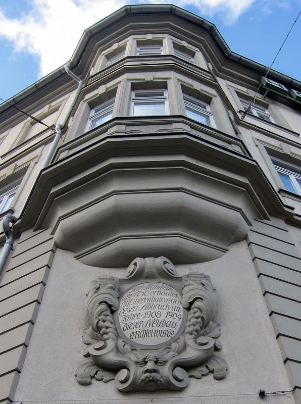
Site of Former Manor House

-
Here stood an ecclesiastical manor house (built about 1750), after whose demolition in 1908-09 this new building was erected.
Topics. This historical marker is listed in this topic list: Religion & Religious Structures. A significant historical year for this entry is 1750.
Location. 49° 47.842′ N, 9° 56.013′ E. Marker is in Würzburg, Bayern (Bavaria). It is at the intersection of Theaterstrasse and Barbarossaplatz, on the left when traveling north on Theaterstrasse. Touch for map. Marker is in this post office area: Würzburg BY 97070, Germany. Touch for directions.
Regionally, this marker is in German Franconia and on the Romantic Road. Globally, it is in Europe, the European Union, Atlantic Europe, Central Europe, the Schengen Area, Western Europe, and the Western World. Historically, it finds itself in what was once the Holy Roman Empire and also the former West Germany.
Other nearby markers. At least 8 other markers are within walking distance of this
this page online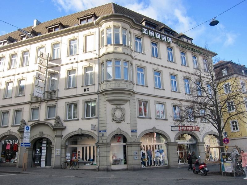
Credits. This page was last revised on January 28, 2022. It was originally submitted on April 18, 2019, by Andrew Ruppenstein of Lamorinda, California. This page has been viewed 198 times since then and 8 times this year. Photos: 1, 2. submitted on April 18, 2019, by Andrew Ruppenstein of Lamorinda, California.
