Cuero in DeWitt County, Texas — The American South (West South Central)
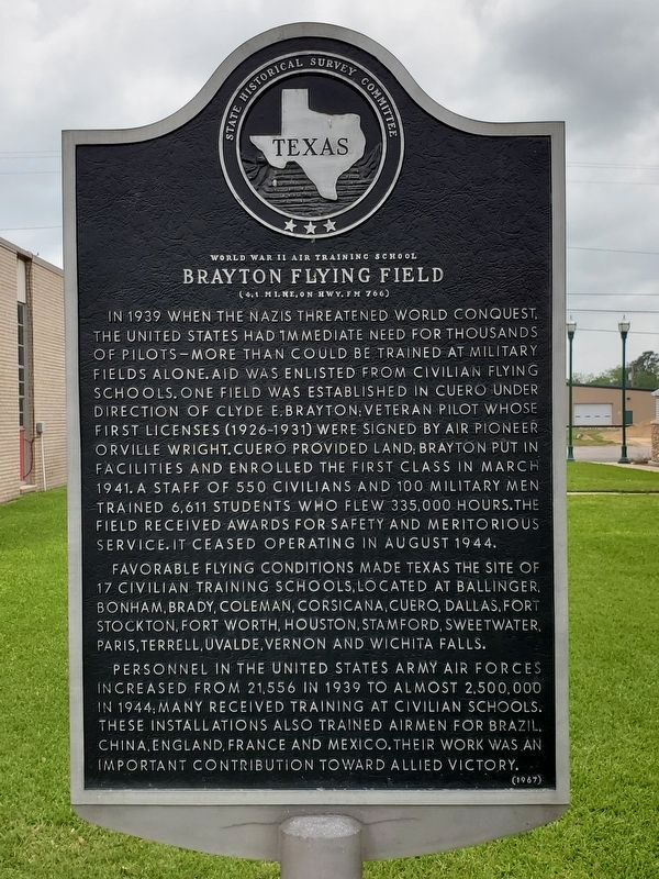
Brayton Flying Field
World War II Air Training School
— (4.1 mi. NE, on Hwy. FM 766) —
Favorable flying conditions made Texas the site of 17 civilian training schools, located at Ballinger, Bonham, Brady, Coleman, Corsicana, Cuero, Dallas, Fort Stockton, Fort Worth, Houston, Stamford, Sweetwater, Paris, Terrell, Uvalde, Vernon and Wichita Falls.
Personnel in the United States Army Air Forces increased from 21,556 in 1939 to almost 2,500,000 in 1944; many received training at civilian schools. These installations also trained airmen for Brazil, China, England, France and Mexico. Their work was an important contribution toward Allied victory.
Erected 1967 by State Historical Survey Committee. (Marker Number 5907.)
Topics. This historical marker is listed in this topic list: War, World II. A significant historical month for this entry is March 1941.
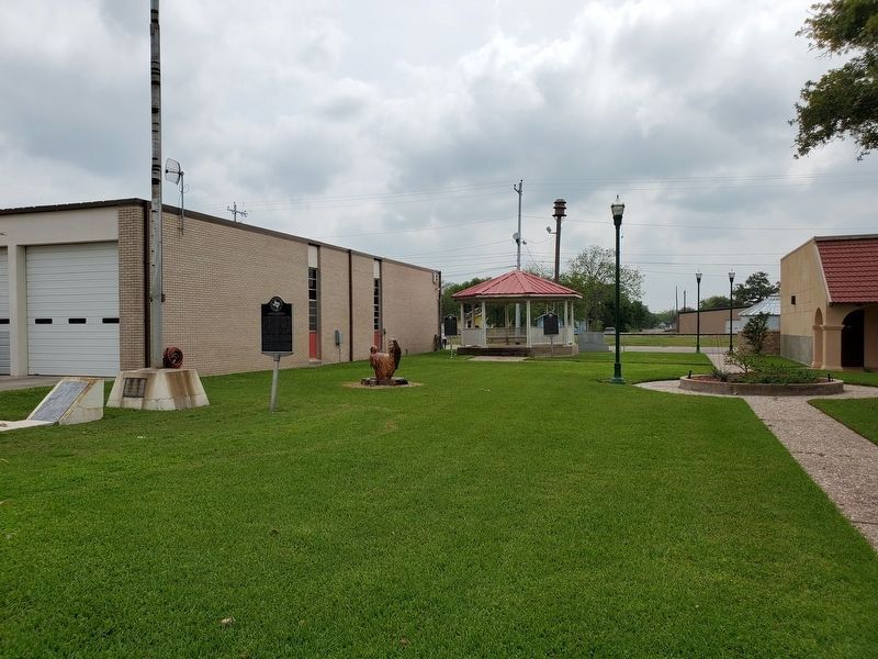
Location. 29° 5.369′ N, 97° 17.37′ W. Marker is in Cuero, Texas, in DeWitt County. Marker is at the intersection of East Main Street and North Clinton Street, on the right when traveling east on East Main Street. Touch for map. Marker is at or near this postal address: 219 East Main Street, Cuero TX 77954, United States of America. Touch for directions.
Other nearby markers. At least 8 other markers are within walking distance of this marker. Early Texas Bandstands (a few steps from this marker); Cuero Land and Immigration Company (a few steps from this marker); St. Michael's Catholic Church (about 600 feet away, measured in a direct line); First United Methodist Church of Cuero (about 700 feet away); Buchel Bank (about 700 feet away); DeWitt County War Memorial (approx. 0.2 miles away); De Witt County Courthouse (approx. 0.2 miles away); Old Chisholm Trail Centennial Monument (approx. 0.2 miles away). Touch for a list and map of all markers in Cuero.
Also see . . . Cuero Field - The Handbook of Texas Online. Texas State Historical Association (TSHA) (Submitted on April 22, 2019, by Brian Anderson of Humble, Texas.)
Credits. This page was last revised on November 2, 2020. It was originally submitted on April 22, 2019, by Brian Anderson of Humble, Texas. This page has been viewed 388 times since then and 48 times this year. Photos: 1, 2. submitted on April 22, 2019, by Brian Anderson of Humble, Texas.

