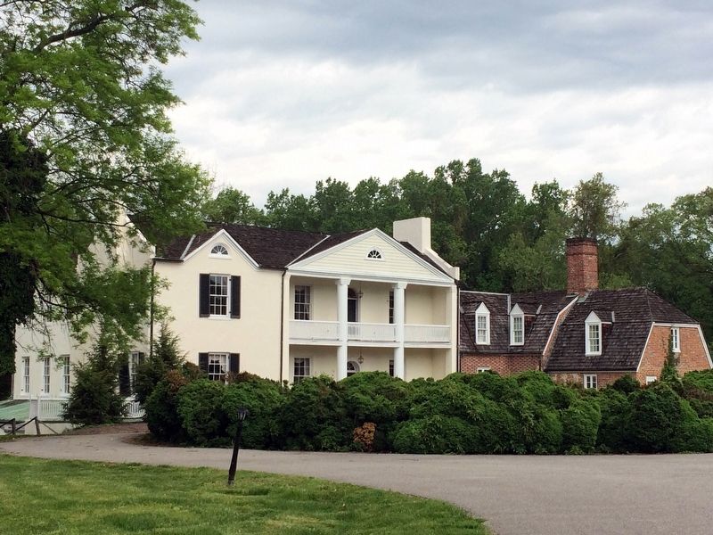
Rosaryville in Prince George's County, Maryland — The American Northeast (Mid-Atlantic)
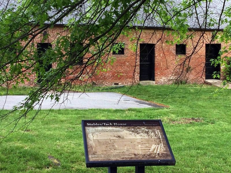
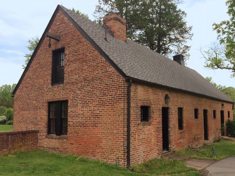
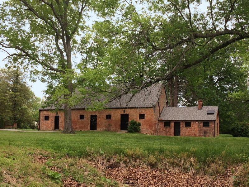
Stables/Tack House
Agricultural Heritage Trail
This photograph was taken prior to the purchase of Mount Airy by Cissy Patterson. Mrs. Patterson added living quarters complete with fireplace, hay carrier for the loft and cupola.
Topics. This historical marker is listed in this topic list: Notable Buildings. A significant historical year for this entry is 1798.
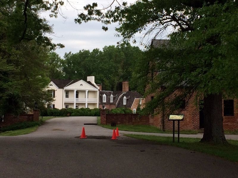
Location. 38° 46.493′ N, 76° 49.115′ W. Marker is in Rosaryville, Maryland, in Prince George's County. Marker can be reached from Rosaryville Road. This marker is at Mount Airy in Rosaryville State Park. Touch for map. Marker is at or near this postal address: 9640 Rosaryville Road, Upper Marlboro MD 20772, United States of America. Touch for directions.
Other nearby markers. At least 8 other markers are within 3 miles of this marker, measured as the crow flies. Mount Airy (approx. 0.7 miles away); Slaves’ Infirmary [on His Lordship’s Kindness] (approx. 1.4 miles away); His Lordship’s Kindness (approx. 1˝ miles away); Cat and Mouse (approx. 1.8 miles away); Restless Time (approx. 1.8 miles away); “Melwood Park” (approx. 2.6 miles away); Cheltenham United Methodist Church (approx. 2.6 miles away); Church of the Atonement, 1875 (approx. 2.8 miles away).
Credits. This page was last revised on April 29, 2019. It was originally submitted on April 29, 2019, by Allen C. Browne of Silver Spring, Maryland. This page has been viewed 139 times since then and 11 times this year. Photos: 1, 2, 3, 4, 5, 6. submitted on April 29, 2019, by Allen C. Browne of Silver Spring, Maryland. • Andrew Ruppenstein was the editor who published this page.

