Burlington in Boone County, Kentucky — The American South (East South Central)
From Craig’s Camp / To Burlington
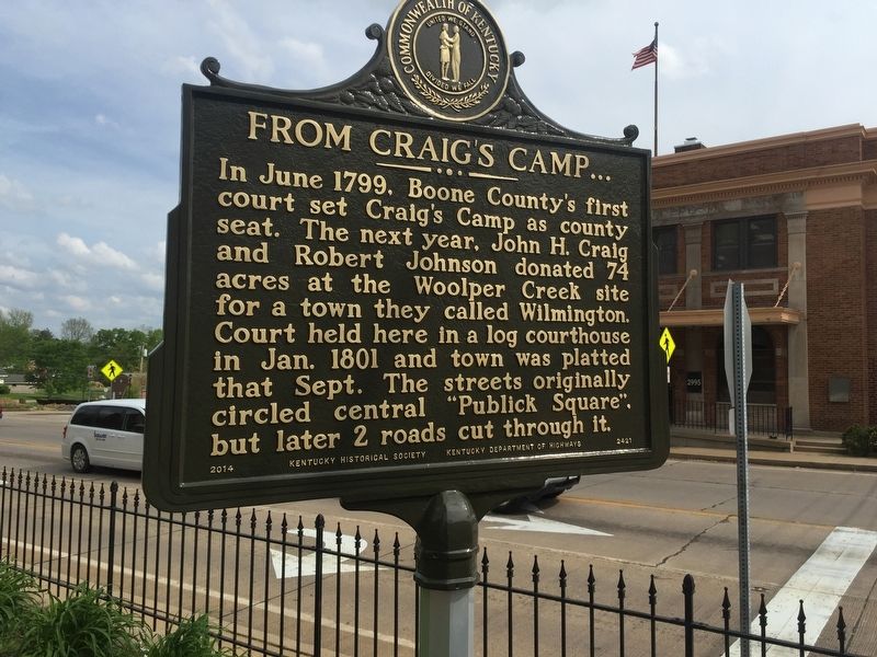
In June 1799, Boone County's first court set Craig's Camp as county seat. The next year, John H. Craig and Robert Johnson donated 74 acres at the Woolper Creek site for a town they called Wilmington. Court held here in a log courthouse in Jan. 1801 and town was platted that Sept. The streets originally circled central "Publick Square" but later 2 roads cut through it.
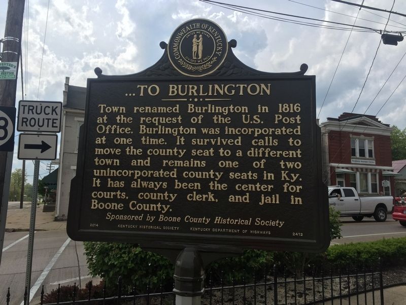
Town renamed Burlington in 1816 at the request of the U.S. Post Office. Burlington was incorporated at one time. It survived calls to move the county seat to a different town and remains one of two unincorporated county seats in Ky. It has always been the center for courts, county clerk, and jail in Boone County.
Erected 2014 by Boone County Historical Society, Kentucky Historical Society and Kentucky Department of Transportation. (Marker Number 2412.)
Topics and series. This historical marker is listed in this topic list: Settlements & Settlers. In addition, it is included in the Kentucky Historical Society series list. A significant historical month for this entry is June 1799.
Location. 39° 1.673′ N, 84° 43.446′ W. Marker is in Burlington, Kentucky, in Boone County. Marker is at the intersection of Kentucky Route 18 and Kentucky Route 338, on the right when traveling west on State Route 18. Touch for map. Marker is in this post office area: Burlington KY 41005, United States of America. Touch for directions.
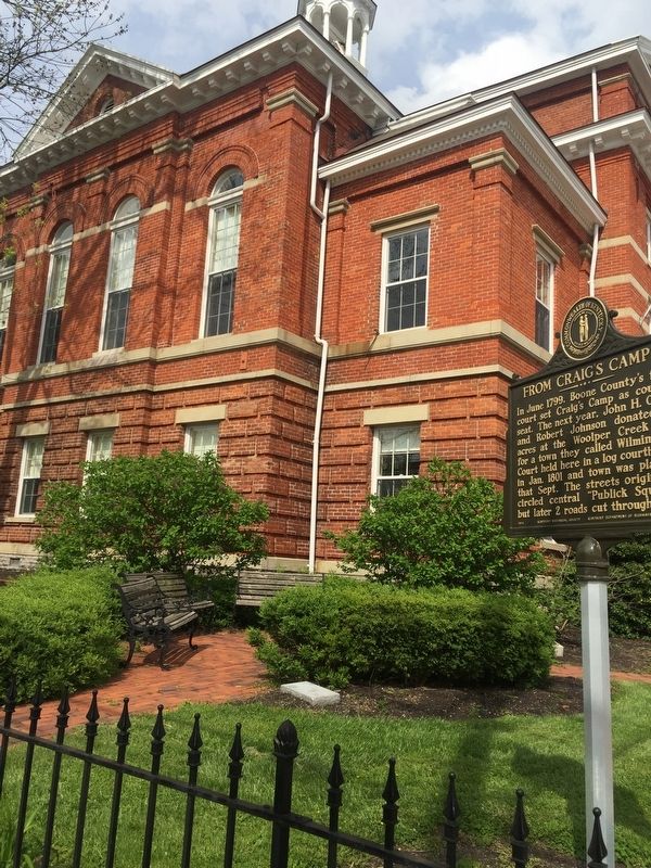
Other nearby markers. At least 8 other markers are within walking distance of this marker. Old Boone County Courthouse (a few steps from this marker); Renaker House (within shouting distance of this marker); Foster-Sandford House (within shouting distance of this marker); Stephens-Yelton House (within shouting distance of this marker); Historic Burlington, KY (within shouting distance of this marker); a different marker also named Historic Burlington, KY (within shouting distance of this marker); Burlington Presbyterian Church (within shouting distance of this marker); Latimer-Walden House (about 300 feet away, measured in a direct line). Touch for a list and map of all markers in Burlington.
Credits. This page was last revised on June 3, 2021. It was originally submitted on April 30, 2019, by Steve Stoessel of Niskayuna, New York. This page has been viewed 244 times since then and 35 times this year. Photos: 1, 2, 3. submitted on April 30, 2019, by Steve Stoessel of Niskayuna, New York. • Andrew Ruppenstein was the editor who published this page.


