Defiance in St. Charles County, Missouri — The American Midwest (Upper Plains)
School Days In Defiance
Students who attended the school received a well rounded education. The school was a lively place where students of all grades would participate in spelling bees, recite multiplication tables and practice their writing on the blackboard. During the cold winter months the class would huddle around the room's pot belly stove to stay warm.
The entire school day was not dedicated to learning, recess was as popular then as it is today with students. Classmates would often engage in mud-ball fights, in a game of "Shiney" or "Pig in the Hole" and occasionally a game of baseball was played with a string ball and stick. During the winter months, a large snowball fight was the recess norm.
In February 1910, the Walnut Grove District was reorganized and designated "St. Charles County School District No. 68". On Tuesday, June 2, 1950, the patrons of Walnut Grove School District No. 68 voted 17-4 in favor of annexation with Consolidated School District No. 2 of St. Charles County, now known as Francis Howell R III School District. The old, one-room school closed and the building was sold in April 1951, to Mr. and Mrs. Elmore Meyer of Defiance.
Topics. This historical marker is listed in this topic list: Education. A significant historical month for this entry is February 1910.
Location. 38° 37.809′ N, 90° 46.782′ W. Marker is in Defiance, Missouri, in St. Charles County. Marker is at the intersection of State Highway 94 and Darst Bottom Road, on the right when traveling north on State Highway 94. Touch for map. Marker is at or near this postal address: 3006 South Highway 94, Defiance MO 63341, United States of America. Touch for directions.
Other nearby markers. At least 8 other markers are within 2 miles of this marker, measured as the crow flies. A Defiant Tale (a few steps from this marker); Baseball in Defiance (approx. 0.4 miles away); Isaac McCormick House (approx. 1.6 miles away); Daniel Boone Judgment Tree Memorial (approx. 1.7 miles away); Matson to Weldon Spring (approx. 1.7 miles away); Daniel Boone's Missouri Golden Years (approx. 1.7 miles away); Matson to Augusta (approx. 1.7 miles away); The Boone Trace (approx. 1.7 miles away). Touch for a list and map of all markers in Defiance.

Photographed By Devry Becker Jones (CC0), April 24, 2019
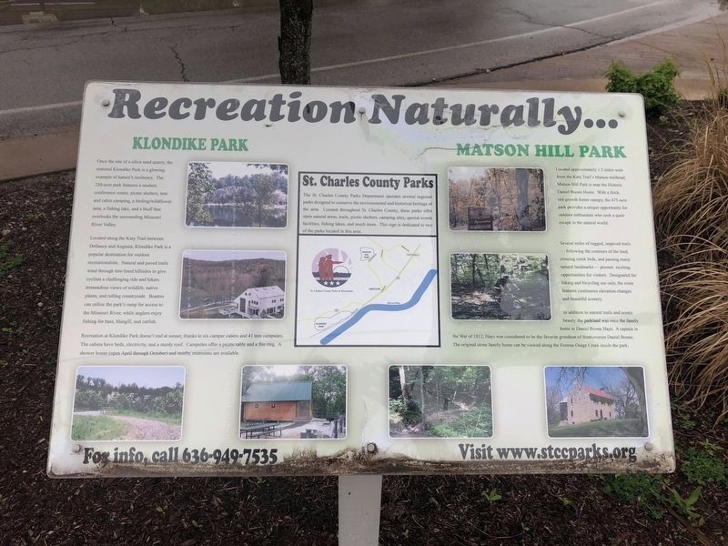
3. Recreation Naturally...
Additional plaque nearby
Credits. This page was last revised on May 4, 2019. It was originally submitted on May 1, 2019, by Devry Becker Jones of Washington, District of Columbia. This page has been viewed 194 times since then and 13 times this year. Photos: 1, 2, 3. submitted on May 1, 2019, by Devry Becker Jones of Washington, District of Columbia.

