New Albany in Franklin County, Ohio — The American Midwest (Great Lakes)
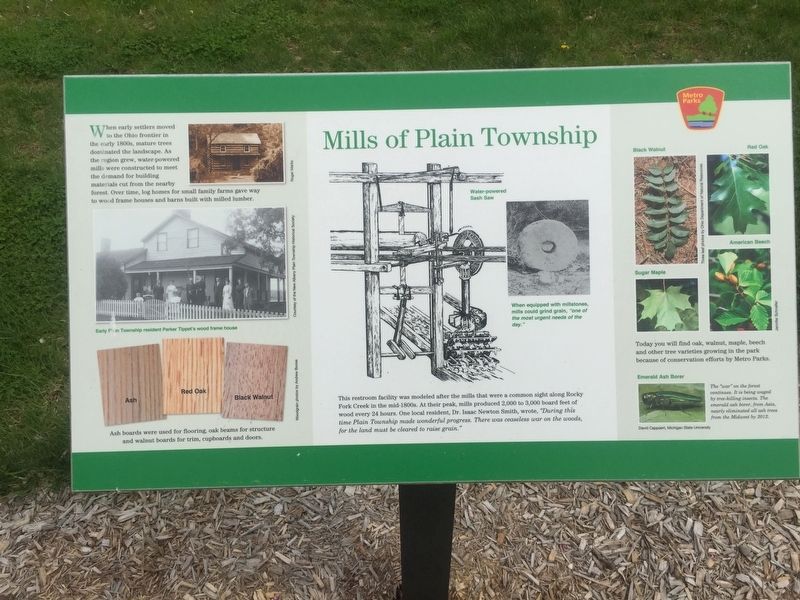
Mills of Plain Township
Photographed by Steve Stoessel, May 1, 2019
1. Mills of Plain Township Marker
Ash boards were used for flooring, oak beams for structure, and walnut for trim, cupboards, and doors.
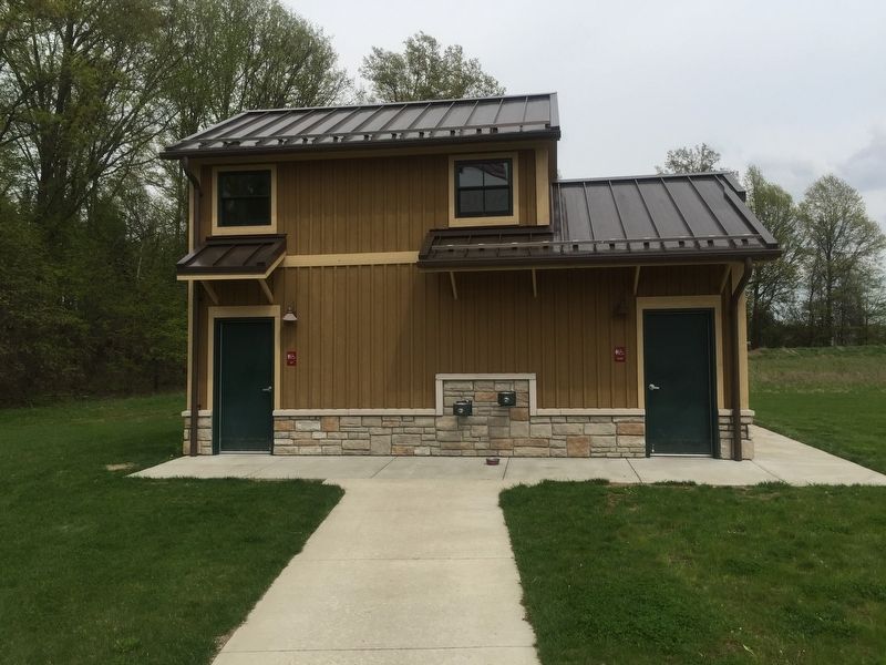
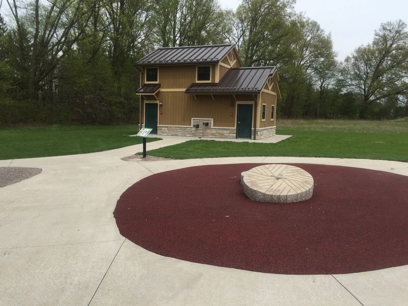
This restroom facility was modeled after the mills that were a common sight along Rocky Fork Creek in the mid-1800s. At their peak, mills produced 2,000 to 3,000 board feet every 24 hours. One local resident, Dr. Isaac Newton Smith, wrote, "During this time, Plain Township made wonderful progress. There was ceaseless war on the woods, for the land must be cleared to raise grain.”
Today you will find oak, walnut, maple, beech, and other tree varieties growing in the park because of the conservation efforts by Metro Parks.
Erected by Metro Parks.
Topics. This historical marker is listed in these topic lists: Industry & Commerce • Settlements & Settlers.
Location. 40° 7.147′ N,
this page online

Regionally, this marker is in the Scioto Valley and in the Columbus Metropolitan Area. It is also in the American Midwest and in the Corn Belt. Globally, it is in North America, the Western Hemisphere, the Western World, and the Anglosphere. Historically, it finds itself in what was once the Haudenosaunee (Iroquois) Confederacy, the territory of the Mississippian Culture, and the Northwest Territory.
Other nearby markers. At least 8 other markers are within 3 miles of this marker, measured as the crow flies: Rocky Fork Metro Park (within shouting distance of this marker); Wagnor Cemetery (approx. 1½ miles away); Maple Grove Cemetery (approx. 1.9 miles away); Fancher Cemetery (approx. 1.9 miles away); Field Musician Richard W. Thompson (approx. 1.9 miles away); Archibald's Mill (approx. 2.2 miles away); Wexner Community Park (approx. 2.4 miles
Photographed by Steve Stoessel, May 1, 2019
2. Mills of Plain Township Marker
Other markers no longer nearby. Smith’s Burying Ground: Pioneer Cemetery (was approx. 1.4 miles away but has been confirmed missing); Disposal of Land in Plain Township (was approx. 2.4 miles away but has been confirmed missing).
Photographed by Steve Stoessel, May 1, 2019
3. Mills of Plain Township Marker
Credits. This page was last revised on May 4, 2019. It was originally submitted on May 2, 2019, by Steve Stoessel of Niskayuna, New York. This page has been viewed 319 times since then and 23 times this year. Photos: 1, 2, 3. submitted on May 2, 2019, by Steve Stoessel of Niskayuna, New York. • Bill Pfingsten was the editor who published this page.
