Sioux Falls in Minnehaha County, South Dakota — The American Midwest (Upper Plains)
1938 Earthquake
Side A
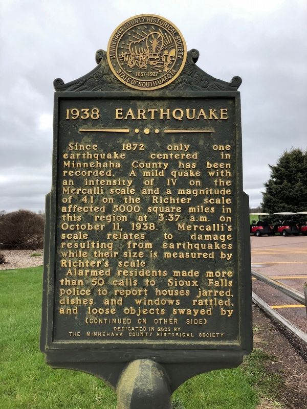
Since 1872 only one earthquake centered in Minnehaha county has been recorded. A mild quake with an intensity of IV on the Mercalli scale and a magnitude of 4.1 on the Richter scale affected 5000 square miles in this region and 3:37 a.m. on October 11, 1938. Mercalli's scale relates to damage resulting from earthquakes while their size is measure by Richter's scale.
Alarmed residents made more than 50 calls to Sioux Falls police to report houses jarred, dishes and windows rattled, and loose objects swayed by
Side B
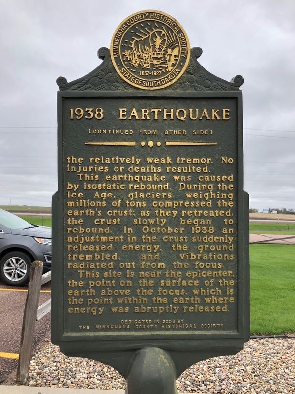
the relatively weak tremor. No injuries or deaths resulted.
This earthquake was caused by isostatic rebound. During the Ice Age, glaciers weighing millions of tons compressed the earth's crust; as they retreated, the crest slowly began to rebound. In October 1938 an adjustment in the crust suddenly released energy, the ground trembled, and vibrations radiated out from the focus.
This site is near the epicenter, the point on the surface of the earth above the focus, which is the point within the earth where energy was abruptly released.
Erected 2003 by Minnehaha County Historical society.
Topics. This historical marker is listed in this topic list: Disasters. A significant historical date for this entry is October 11, 1938.
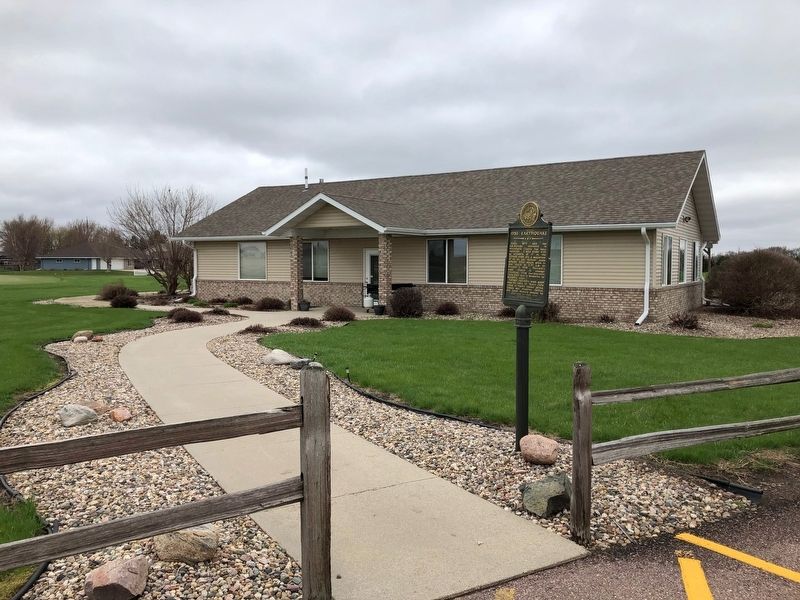
Location. 43° 38.028′ N, 96° 42.734′ W. Marker is in Sioux Falls, South Dakota, in Minnehaha County. Marker is on Cliff Ave. Located at the edge of the parking lot at he Northern Links Golf Course. Touch for map. Marker is at or near this postal address: 7701 N Cliff Ave, Sioux Falls SD 57104, United States of America. Touch for directions.
Other nearby markers. At least 8 other markers are within 5 miles of this marker, measured as the crow flies. Old Nidaros (approx. 0.8 miles away); Christensen 1917 Round Barn (approx. 0.9 miles away); Renner Area Veterans Memorial (approx. 1.1 miles away); The Village of Renner (approx. 1.1 miles away); Lindbergh Landing / Renner Field (approx. 1.1 miles away); Swedona Evangelical Covenant Church (approx. 4 miles away); Amidon Graves Mystery (approx. 4 miles away); Memorial to the Pioneers of Minnehaha County (approx. 4.1 miles away). Touch for a list and map of all markers in Sioux Falls.
Credits. This page was last revised on May 6, 2019. It was originally submitted on May 5, 2019, by Ruth VanSteenwyk of Aberdeen, South Dakota. This page has been viewed 462 times since then and 38 times this year. Photos: 1, 2, 3. submitted on May 5, 2019, by Ruth VanSteenwyk of Aberdeen, South Dakota. • Bill Pfingsten was the editor who published this page.


