Sioux Falls in Minnehaha County, South Dakota — The American Midwest (Upper Plains)
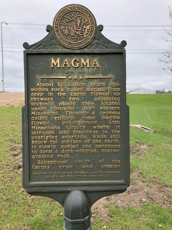
Magma
(side one)
Almost 1.2 billion years ago molten rock called magma from deep in the Earth flowed up between two adjoining tectonic plates them located under present day eastern Minnesota. Through a process called rifting some magma flowed underground into Minnehaha County where it intruded into fractures in the overlying quartzite. While still below the surface of the earth it slowly cooled and hardened to form a dark-colored, coarse-grained rock.
Subsequent uplift of the Earth's crust and erosion
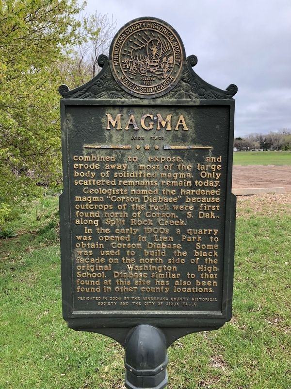
(side two)
combined to expose, and erode away most of the large body of solidified magma. Only scattered remnants remain today.
Geologists named the hardened magma "Corson Diabase" because outcrops of the rock were first found north of Corson, S. Dak., along Split Rock Creek.
In the early 1900s a quarry was opened in Lien park to obtain Corson Diabase. Some was used to build the black facade on the north side of the original Washington High School. Diabase similar to that found at this site has also been found in other county locations.
Erected 2004 by Minnehaha County Historical Society and the City of Sioux Falls.
Topics. This historical marker is listed in this topic list: Natural Resources.
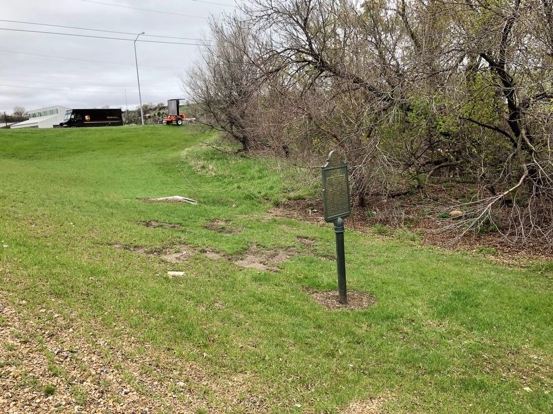
Location. 43° 34.131′ N, 96° 42.647′ W. Marker is in Sioux Falls, South Dakota, in Minnehaha County. Marker is at the intersection of Cliff Ave and E Chambers on Cliff Ave. Located at Lien Park. Touch for map. Marker is at or near this postal address: 2000 N Cliff Ave, Sioux Falls SD 57104, United States of America. Touch for directions.
Other nearby markers. At least 8 other markers are within walking distance of this marker. Albert M. Mansor (approx. 0.4 miles away); The Amidon Affair (approx. 0.4 miles away); Memorial to the Pioneers of Minnehaha County (approx. 0.4 miles away); Amidon Graves Mystery (approx. half a mile away); First Concrete State Highway (approx. 0.7 miles away); Frederick Manfred’s “Siouxland” (approx. 0.9 miles away); Artisans at the Falls (approx. 0.9 miles away); In the Name of Progress (approx. 0.9 miles away). Touch for a list and map of all markers in Sioux Falls.
Credits. This page was last revised on May 6, 2019. It was originally submitted on May 6, 2019, by Ruth VanSteenwyk of Aberdeen, South Dakota. This page has been viewed 408 times since then and 31 times this year. Photos: 1, 2, 3. submitted on May 6, 2019, by Ruth VanSteenwyk of Aberdeen, South Dakota. • Bill Pfingsten was the editor who published this page.


