Layton in Davis County, Utah — The American Mountains (Southwest)
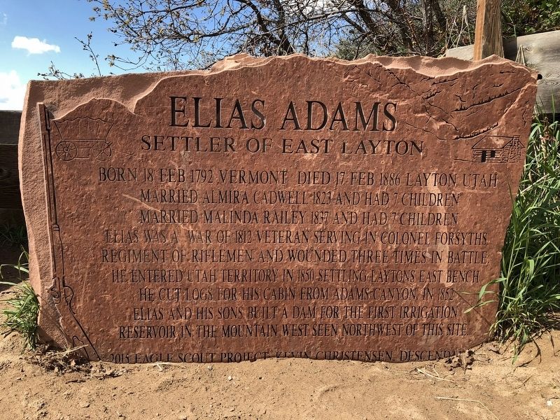
Elias Adams
Settler of East Layton
Married Almira Cadwell 1823 and had 7 children.
Married Malinda Railey 1837 and had 7 children.
Elias was a War of 1812 veteran serving in Colonel Forsyth's regiment of riflemen and wounded three times in battle. He entered Utah Territory in 1850 settling Layton's east bench. He cut logs for his cabin from Adams Canyon. In 1852 Elias and his sons built a dam for the first irrigation reservoir in the mountain west seen northwest of this site.
Erected 2015 by Kevin Christensen.
Topics. This historical marker is listed in this topic list: Settlements & Settlers. A significant historical year for this entry is 1850.
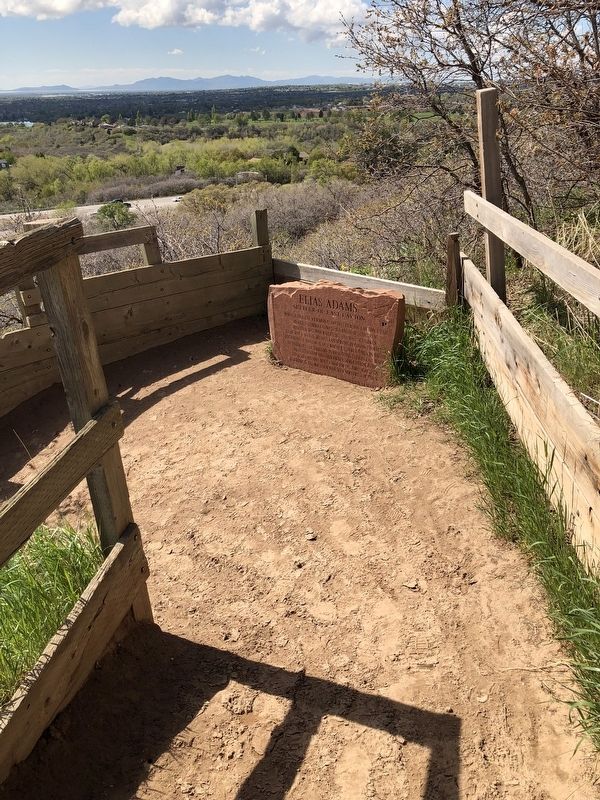
Location. 41° 3.987′ N, 111° 54.498′ W. Marker is in Layton, Utah, in Davis County. Marker can be reached from North Eastside Drive (U.S. 89), on the right when traveling north. Marker is at a switchback on Adams Canyon Trail approximately 580 feet along the trail east of the trailhead. Touch for map. Marker is in this post office area: Layton UT 84040, United States of America. Touch for directions.
Other nearby markers. At least 8 other markers are within 6 miles of this marker, measured as the crow flies. George Pilling Adams Cabin (approx. 2.3 miles away); The Weinel Mill (approx. 2.6 miles away); Stage Coach Station (approx. 3 miles away); Old Rock Mill (approx. 5.2 miles away); The Walter Grover Historic Rock Home (approx. 5.3 miles away); Leavitt/Clark House (approx. 6 miles away); Clark Lane National Historic District (approx. 6 miles away); Bamberger Railroad, Farmington Station (approx. 6 miles away).
Credits. This page was last revised on May 9, 2019. It was originally submitted on May 6, 2019, by Andrew Johnson of Salt Lake City, Utah. This page has been viewed 773 times since then and 106 times this year. Photos: 1, 2, 3. submitted on May 6, 2019, by Andrew Johnson of Salt Lake City, Utah. • Andrew Ruppenstein was the editor who published this page.


