Rosman in Transylvania County, North Carolina — The American South (South Atlantic)
NASA Tracking
Photographed by Cosmos Mariner, May 7, 2019
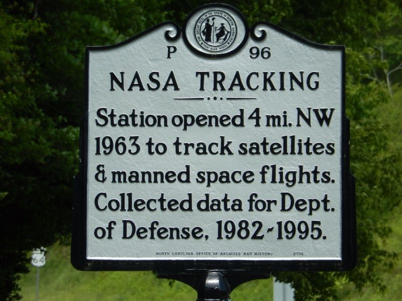
1. NASA Tracking Marker
Station opened 4 mi. NW 1963 to track satellites & manned space flights. Collected data for Dept. of Defense, 1982-1995.
Erected 2016 by North Carolina Office of Archives and History. (Marker Number P-96.)
Topics and series. This historical marker is listed in these topic lists: Air & Space • Communications. In addition, it is included in the North Carolina Division of Archives and History series list. A significant historical year for this entry is 1963.
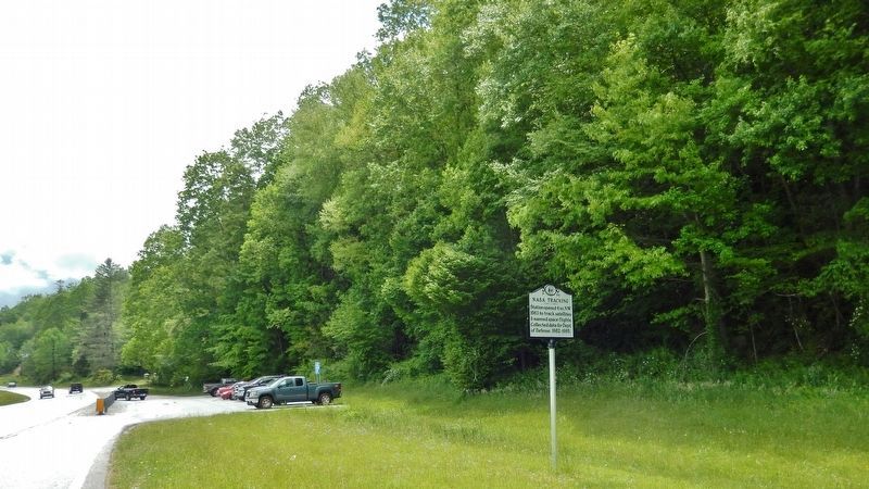
Location. 35° 8.871′ N, 82° 49.977′ W. Marker is in Rosman, North Carolina, in Transylvania County. It is on U.S. 64 0.1 miles south of Pickens Highway (U.S. 178), on the right when traveling south. Marker is located on the west side of the highway, near a pull-out and rideshare parking lot. Touch for map. Marker is in this post office area: Rosman NC 28772, United States of America. Touch for directions.

Regionally, this marker is in the Mountains. It is also in the American South, specifically in the Upper South, in Appalachia, and specifically in Southern Appalachia. Globally, it is in North America, the Western Hemisphere, the Western World, and the
this page online
Other nearby markers. At least 8 other markers are within walking distance of this marker: What's in a Name? (approx. 0.4 miles away); Rosman Today (approx. 0.4 miles away); The Queen City (approx. 0.4 miles away); The Eastatoe Path (approx. 0.4 miles away); Making a Living (approx. 0.4 miles away); Rosman Schools (approx. 0.4 miles away); God's Children (approx. 0.4 miles away); The Mighty French Broad (approx. 0.4 miles away). Touch for a list and map of all markers in Rosman.
Also see . . . The Rosman Research Station. NASA built and began operations at the Rosman Spaceflight Tracking Station in 1963. During NASA's tenure the station supported a number of space projects, including the Apollo and Apollo-Soyuz missions. In 1981, the facility was converted by the Department of Defense for use as a Communications Research Station, and used to intercept telephone and other communications
Photographed by Cosmos Mariner, May 7, 2019
2. NASA Tracking Marker (view looking south along US-64; rideshare parking lot in background)
Photographed by Cosmos Mariner, May 7, 2019
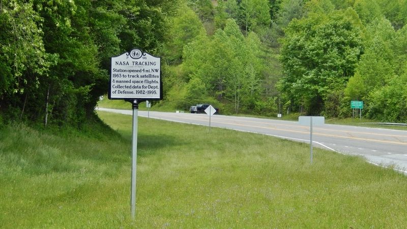
3. NASA Tracking Marker (view looking north along US-64; US-178 in backround on right)
Credits. This page was last revised on August 24, 2022. It was originally submitted on May 8, 2019, by Cosmos Mariner of Cape Canaveral, Florida. This page has been viewed 783 times since then and 56 times this year. Photos: 1, 2, 3. submitted on May 8, 2019, by Cosmos Mariner of Cape Canaveral, Florida.
