Chetumal in Othón P. Blanco, Quintana Roo, Mexico — The Yucatan Peninsula (The Southeast)
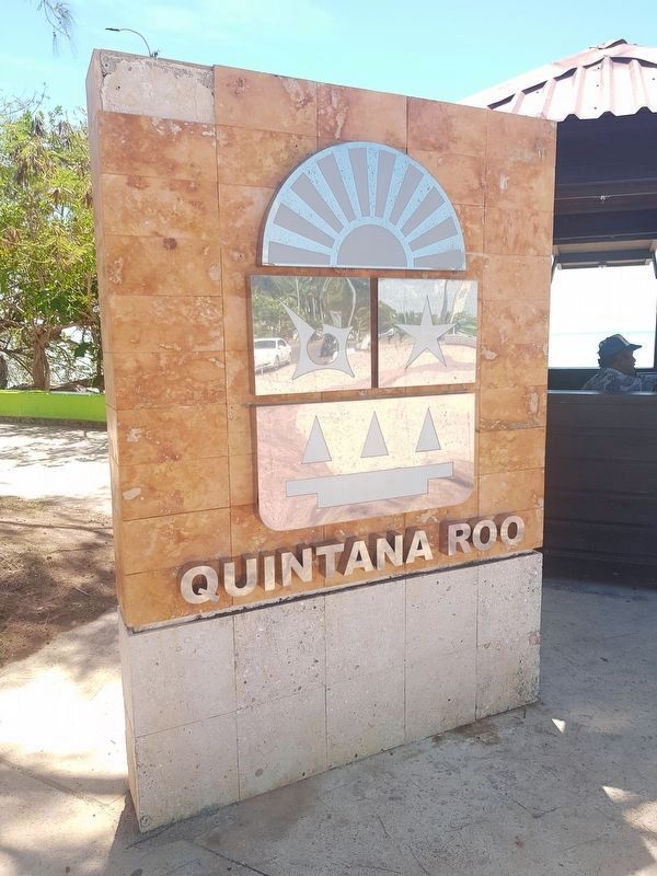
Quintana Roo State Seal
Paseo de los Héroes
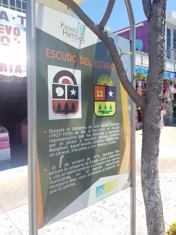
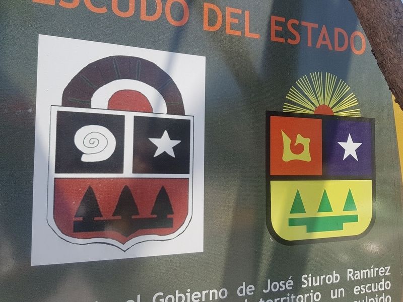
Durante el Gobierno de José Siurob Ramírez (1927-1930) se dio al territorio un escudo representativo que fue diseño y esculpido por el pintor y escultor italiano Gaetano Manglioni. Aquel escudo contenía una estrella, un caracol, tres pinos y tres medios círculos.
El 8 de octubre de 1974, Quintana Roo obtuvo la categoría de Estado Libre y Soberano y con el nombramiento se crearon tres nuevos municipios. Así, el escudo mencionado incorporó tres rayos luminosos al potente sol que lo adorna.
Quintana Roo State Seal
During the Government of José Siurob Ramírez (1927-1930) the territory was given a representative seal that was designed and sculpted by the Italian painter and sculptor Gaetano Manglioni. That seal contained a star, a snail, three pine trees and three half circles.
On October 8, 1974, Quintana Roo obtained the status of Free and Sovereign State and with this appointment three new municipalities were created. Thus, to the mentioned seal were added three luminous rays to the powerful sun that adorns it.
Topics. This historical marker is listed in these topic lists: Government & Politics • Political Subdivisions. A significant historical date for this entry is October 8, 1974.
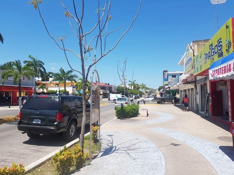
Location. 18° 29.925′ N, 88° 17.781′ W. Marker is in Chetumal, Quintana Roo, in Othón P. Blanco. Marker is on Avenida de los Héroes just north of Avenida Ignacio Zaragoza, on the right when traveling north. Touch for map. Marker is in this post office area: Chetumal QR 77000, Mexico. Touch for directions.
Other nearby markers. At least 8 other markers are within walking distance of this marker. Juventino Rosas Theater (within shouting distance of this marker); Cuauhtémoc (within shouting distance of this marker); Hurricane Janet (within shouting distance of this marker); Benito Juárez García (about 90 meters away, measured in a direct line); Francisco I. Madero (about 90 meters away); The History of Chetumal 1920-1930 (about 90 meters away); Kiosko López (about 120 meters away); The Maya Region and the Route of the Churches (about 180 meters away). Touch for a list and map of all markers in Chetumal.
Credits. This page was last revised on May 19, 2019. It was originally submitted on May 18, 2019, by J. Makali Bruton of Accra, Ghana. This page has been viewed 123 times since then and 10 times this year. Photos: 1, 2, 3. submitted on May 18, 2019, by J. Makali Bruton of Accra, Ghana. 4. submitted on May 19, 2019, by J. Makali Bruton of Accra, Ghana.


