Shoreacres in La Porte in Harris County, Texas — The American South (West South Central)
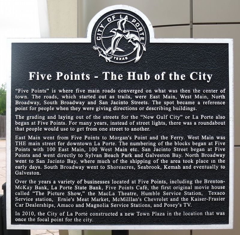
Five Points - The Hub of the City
Photographed by Jim Evans, May 18, 2019
1. Five Points - The Hub of the City Marker
The grading and laying out of the streets for the "New Gulf City" or La Porte also began at Five Points. For many years, instead of street lights, there was a roundabout that people would use to get from one street to another.
East Main went from Five Points to Morgan's Point and the Ferry. West Main was THE main street for downtown La Porte. The numbering of the blocks began at Five Points withe 100 East Main, 100 West Main etc. San Jacinto Street began at Five Points and went directly to Sylvan Beach Park and Galveston Bay, where much of the shipping of the area took place in the early days. South Broadway went to Shoreacres, Seabrook, Kemah and eventually to Galveston.
Over the years a variety of businesses located at Five Points, including Brenton-McKay bank, La Porte State Bank, Five Points Cafe, the
this page online
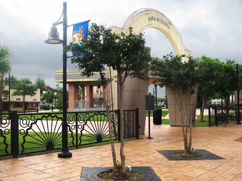
In 2010 the City of La Porte constructed a new Town Plaza in the location that was once the focal point for the city.
Topics. This historical marker is listed in these topic lists: Landmarks • Notable Places. A significant historical year for this entry is 2010.
Location. 29° 39.908′ N, 95° 1.147′ W. Marker is in La Porte, Texas, in Harris County. It is in Shoreacres. It is at the intersection of Broadway and Main Street, on the right when traveling north on Broadway. Touch for map. Marker is in this post office area: La Porte TX 77571, United States of America. Touch for directions.

Regionally, this marker is in the Houston Metropolitan Area. It is also in the American South and on the Gulf Coast. Globally, it is in North America, a Gulf of Mexico state, the Western Hemisphere, the Western World, and the Anglosphere. Historically, it finds itself in what was once
Photographed by Jim Evans, May 18, 2019
2. Five Points - The Hub of the City Plaza
Marker can be seen on the left side of the arched entrance to the plaza
Other nearby markers. At least 8 other markers are within walking distance of this marker: La Porte Hardware (about 700 feet away, measured in a direct line); First City Hall and Jail (about 700 feet away); Besson Building (about 800 feet away); Artesian Hotel (approx. 0.2 miles away); The 1915 Fire (approx. 0.2 miles away); Seureau Building: The First Business in La Porte (approx. 0.2 miles away); Williams Building (approx. ¼ mile away); Historic La Porte Colored School (approx. half a mile away). Touch for a list and map of all markers in La Porte.
Also see . . . La Porte in the Handbook of Texas. (Submitted on May 19, 2019, by Jim Evans of Houston, Texas.)
Credits. This page was last revised on February 1, 2023. It was originally submitted on May 19, 2019, by Jim Evans of Houston, Texas. This page has been viewed 1,535 times since then and 91 times this year. Photos: 1, 2. submitted on May 19, 2019, by Jim Evans of Houston, Texas. • Andrew Ruppenstein was the editor who published this page.
