History
Sandy Row
— A little part of Belfast —
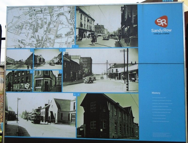
[Historic photo captions read]
1. Early map of Sandy Row in 1858
2. Sandy Row busy with shoppers in days gone by
3. Sandy Row in 1907 looking towards Lisburn Road
4. Sandy Row with Gilpins in the distance
5. Looking towards Boyne Bridge from Sandy Row
6. The historic Brewery Buildings built in 1869
7. A corner shop on Edward Street
8. An old tram service in operation
9. Linfield Junior Public Elementary School
Erected by Historic Sandy Row.
Topics. This historical marker is listed in this topic list: Notable Places. A significant historical year for this entry is 1858.
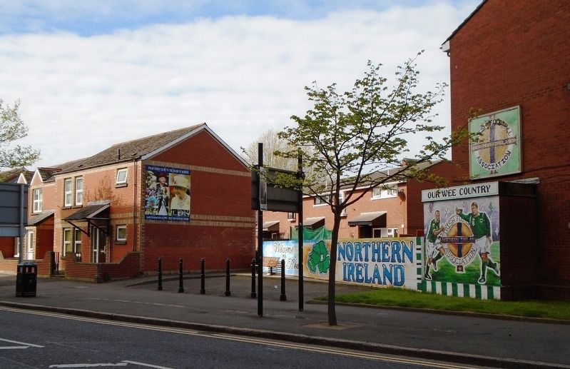
Location. 54° 35.618′ N, 5° 56.195′ W. Marker is in Belfast, Northern Ireland. Marker is at the intersection of Sandy Row and Hope Street, on the right when traveling north on Sandy Row. Touch for map. Marker is in this post office area: Belfast, Northern Ireland BT12 5DR, United Kingdom. Touch for directions.
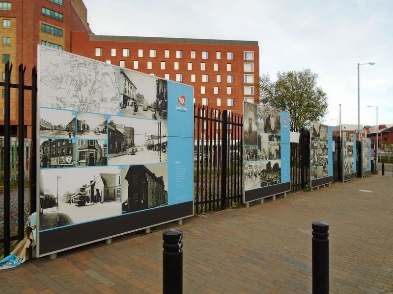
Other nearby markers. At least 8 other markers are within walking distance of this marker. Culture (here, next to this marker); Industry (a few steps from this marker); People (a few steps from this marker); Buildings & Housing (a few steps from this marker); Mother Daughter Sister (within shouting distance of this marker); Sandy Row (within shouting distance of
Also see . . . Sandy Row at Wikipedia. (Submitted on May 21, 2019, by William Fischer, Jr. of Scranton, Pennsylvania.)
Credits. This page was last revised on October 6, 2021. It was originally submitted on May 21, 2019, by William Fischer, Jr. of Scranton, Pennsylvania. This page has been viewed 171 times since then and 14 times this year. Photos: 1, 2, 3. submitted on May 21, 2019, by William Fischer, Jr. of Scranton, Pennsylvania.


