Friendsville in Garrett County, Maryland — The American Northeast (Mid-Atlantic)
The Railroad Era and Hotels
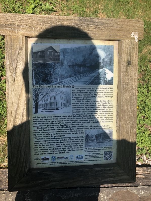
The Confluence and Oakland Railroad (C&O) was completed between Confluence, PA and Friendsville. Upon completion, it was leased to the B&O Railroad for 99 years. In Confluence it connected with the B&O Baltimore, Pittsburgh and Chicago Railways.
In 1889, the train was welcomed with celebration and a new era was born with Friendsville becoming a chief business center and shipping point for timber and agricultural products. The railroad provided access to what was considered an "inexhaustable" timber resource and the booming lumber business of Garrett County. It was hoped the rail line would create a shortcut to the B&O Railroad in Oakland (which it never did). Mixed freight and passenger trains operated once a day to and from Confluence, PA. The large gauge train continued upriver to Kendall where it dropped empty cars, turned around and came back with oak barrels and lumber. From Kendall, the narrow guage rail extended into the extremely rugged middle gorge as far as Sang Run and Swallow Falls.
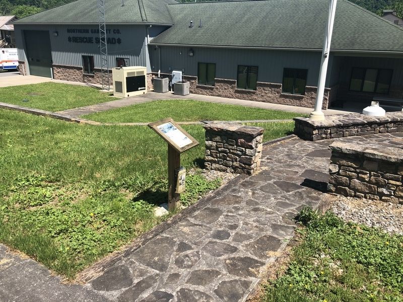
Hotels such as the Crawford Hotel (site of the Northern Garrett Rescue Squad), Central Hotel and Russell Friend's Youghiogheny Hotel on Morris Avenue opened up and were used by visitors, business people and salesmen traveling to town selling wares not only to the town's businesses but also to the numerous stores in the outlying area.
The timber resources became surprisingly scarce in 1912. Lumber companies closed or switched to coal, which was mined upriver and also shipped out by train. On March 31, 1942 the last coal train, along with some passengers, left town and an era ended. Harry J. Black the station agent since 1890 closed up officially on April 9th. The tracks were removed around 1942 when the Yough Lake Dam was completed and the reservoir was filled in 1944.
[Caption:]
Near the end of the railroad era in Friendsville, poles for mine supports where sold by local farmers and shipped almost daily.
Erected by Maryland Heritage Area Authority. (Marker Number 13.)
Topics and series. This historical marker is listed in these topic lists: Industry & Commerce • Railroads & Streetcars. In addition, it is included in the Baltimore and Ohio Railroad (B&O), and the Maryland, Friendsville History Tour series lists. A significant historical date for this entry is March 31, 1942.
Location. 39° 39.769′ N, 79° 24.36′ W. Marker is in Friendsville, Maryland, in Garrett County. Marker is at the intersection of Chestnut Street and 1st Avenue, on the left when traveling north on Chestnut Street. Touch for map. Marker is at or near this postal address: 320 Chestnut Street, Friendsville MD 21531, United States of America. Touch for directions.
Other nearby markers. At least 8 other
Credits. This page was last revised on March 11, 2021. It was originally submitted on May 25, 2019, by Devry Becker Jones of Washington, District of Columbia. This page has been viewed 250 times since then and 31 times this year. Photos: 1, 2. submitted on May 25, 2019, by Devry Becker Jones of Washington, District of Columbia.

