Friendsville in Garrett County, Maryland — The American Northeast (Mid-Atlantic)
Friendsville Commerce, Custer's and Ryland's Stores

Photographed By Devry Becker Jones (CC0), May 24, 2019
1. Friendsville Commerce, Custer's and Ryland's Stores Marker
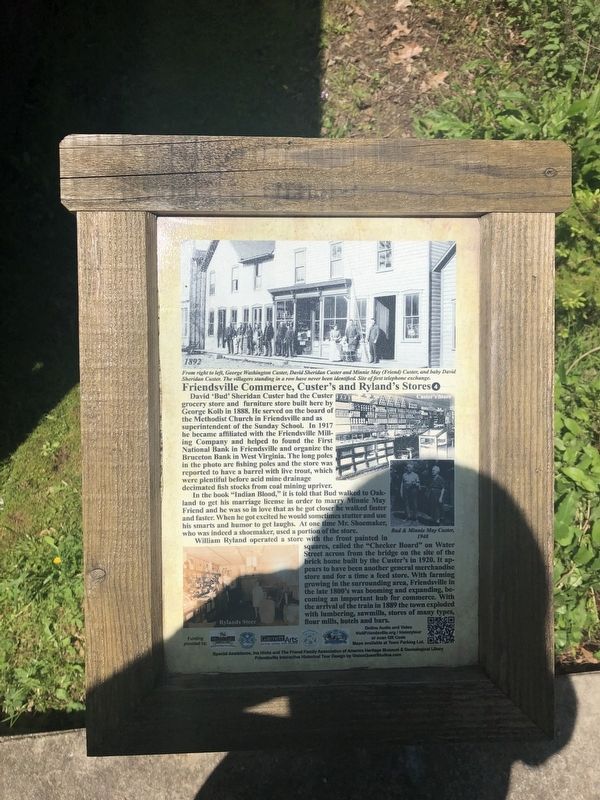
David 'Bud' Sheridan Custer had the Custer grocery store and furniture store built here by George Kolb in 1888. He served on the board of the Methodist Church in Friendsville and as superintendent of the Sunday School. In 1917 he became affiliated with Friendsville Milling Company and helped to found the First National Bank in Friendsville and organize the Bruceton Bank in West Virginia. The long poles in the photo are fishing poles and the store was reported to have a barrel with live trout which were plentiful before acid mine drainage decimated fish stocks from coal mining upriver.
In the book "Indian Blood," it is told that Bud walked to Oakland to get his marriage license in order to marry Minnie May Friend and he was so in love that as he got closer he walked faster and faster. When he got excited he would sometimes stutter and se his smarts and humor to get laughs. At one time Mr. Shoemaker, who was indeed a shoemaker, used a portion of the store.
William Ryland operated a store with the front painted in squares, called the "Checker Board" on Water Street across from the bridge on the site of the brick home built by the Custer's in 1920. It appears to have been another general merchandise store and for a long time a feed store. With farming growing in the surrounding area, Friendsville in the late 1800's was booming and expanding, becoming an important hub for commerce. With the arrival of the train in 1889 the town exploded with lumbering, sawmills, stores of many types, flour mills, hotels and bars.
Erected by Maryland Heritage Area Authority. (Marker Number 4.)
Topics and series. This historical marker is listed in this topic list: Industry & Commerce. In addition, it is included in the Maryland, Friendsville History Tour series list. A significant historical year for this entry is 1888.
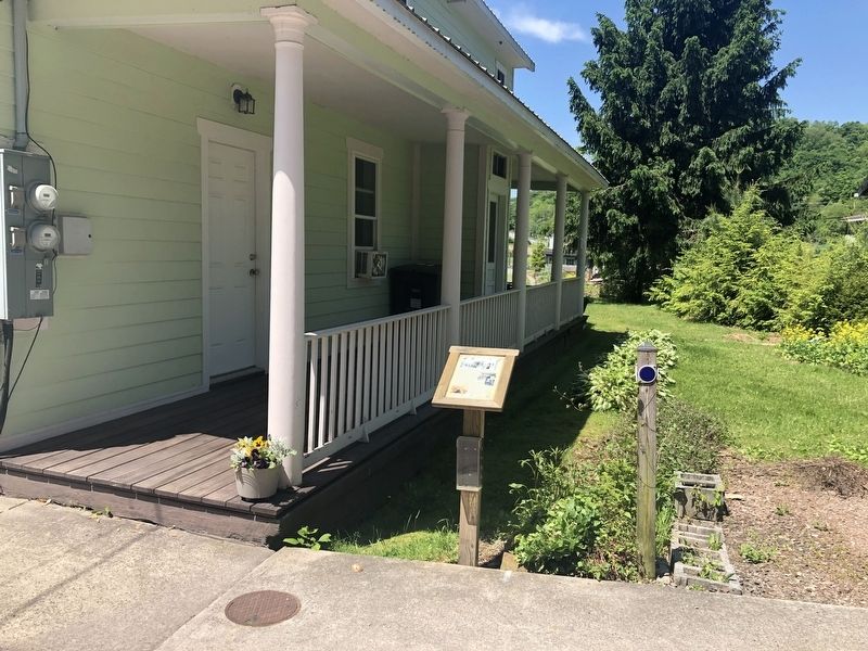
Location. 39° 39.826′ N, 79° 24.468′ W. Marker is in Friendsville, Maryland, in Garrett County. Marker is on Water Street south of Maple Street, on the right when traveling south. Touch for map. Marker is at or near this postal address: 649 Water Street, Friendsville MD 21531, United States of America. Touch for directions.
Other nearby markers. At least 8 other markers are within walking distance of this marker. Riverside Hotel & Knights of Pythias (within shouting distance of this marker); Water Street North, Captain Elijah Monroe Friend (within shouting distance of this marker); The Legend of Johnny Friend (within shouting distance of this marker); Morris Avenue and Maple Street (about 400 feet away, measured in a direct line); Friendsville Honor Roll (about 600 feet away); First National Bank, Leslie Friend Store & Military Honors

Photographed By Devry Becker Jones (CC0), May 24, 2019
2. Friendsville Commerce, Custer's and Ryland's Stores Marker
Credits. This page was last revised on September 1, 2021. It was originally submitted on May 26, 2019, by Devry Becker Jones of Washington, District of Columbia. This page has been viewed 136 times since then and 18 times this year. Photos: 1, 2. submitted on May 26, 2019, by Devry Becker Jones of Washington, District of Columbia.