Near Bath in Summit County, Ohio — The American Midwest (Great Lakes)
Ira Cemetery Information Board
Photographed by J. J. Prats, April 7, 2019
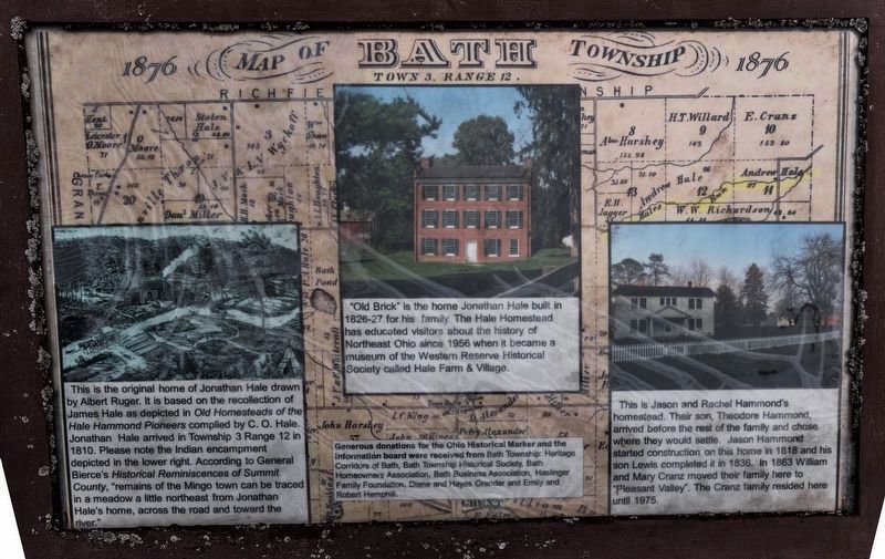
1. Ira Cemetery Information Board
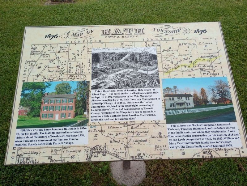
This historical marker is untitled, and consists of the 1876 map of Bath Township overlaid with photographs and descriptions of three homes. It is not in good shape. Click on image to zoom out.
“Old Brick” is the home Jonathan Hale built in 1826-27 for his family. The Hale Homestead has educated visitors about the history of Northeast Ohio since 1956 when it became a museum of the Western Reserve Historical Society called Hale Farm & Village.
This is Jason and Rachel Hammond’s homestead. Their son, Theodore Hammond, arrived before the rest of the family and chose where they would settle. Jason Hammond started construction on this home in 1818 and his son Lewis completed it in 1836. In 1863 William and Mary Cranz moved their family here to “Pleasant Valley.” The Cranz family resided here until
this page online
Generous donations for the Ohio Historical Marker and this information board were received from Bath Township: Heritage Corridors of Bath, Bath Township Historical Society, Bath Homeowners Association, Bath Business Association, Haslinger Family Foundation, Diane and Hayes Orender and Emily and Robert Hemphill.
Erected by Bath Township: Heritage Corridors of Bath, Bath Township Historical Society, Bath Homeowners Association, Bath Business Association, Haslinger Family Foundation, Diane and Hayes Orender and Emily and Robert Hemphill.
Topics. This historical marker is listed in this topic list: Settlements & Settlers. A significant historical year for this entry is 1810.
Location. 41° 11.367′ N, 81° 35.519′ W. Marker is near Bath, Ohio, in Summit County. It is at the intersection of Ira Road and Oak Hill Road, on the right when traveling west on Ira Road. It is at Ira Cemetery, where Ira Road turns 90 degrees. It is 2.4 miles from Bath. Touch for map. Marker is in this post office area: Bath OH 44210, United States of America. Touch for directions.

Regionally, this marker is in Greater Cleveland and in the Western
Photographed by J. J. Prats, April 7, 2019
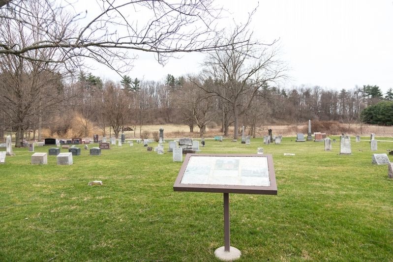
2. Ira Cemetery and Information Board
Other nearby markers. At least 8 other markers are within walking distance of this marker: Hale, Hammond, Cranz Homesteads (a few steps from this marker); Hale Farm & Village (approx. ¼ mile away); Jonathan Hale Homestead (approx. 0.3 miles away); The Carriage Manufactory (approx. 0.3 miles away); Sugar House (approx. 0.3 miles away); From Salvage Yard to Beaver Marsh (approx. 0.6 miles away); Welcome to Cuyahoga Valley National Park (approx. 0.6 miles away); Lock 26 (approx. 0.6 miles away).
Additional commentary.
1. Across from IRA cemetery
Does anyone one know what was on the land across from the Ira Cemetery? The Ohio & Erie Canal ran nearby.
— Submitted October 13, 2022.
Photographed by Craig Doda, May 20, 2023
3. Ira Cemetery Information Board Marker
Photographed by Craig Doda, May 20, 2023
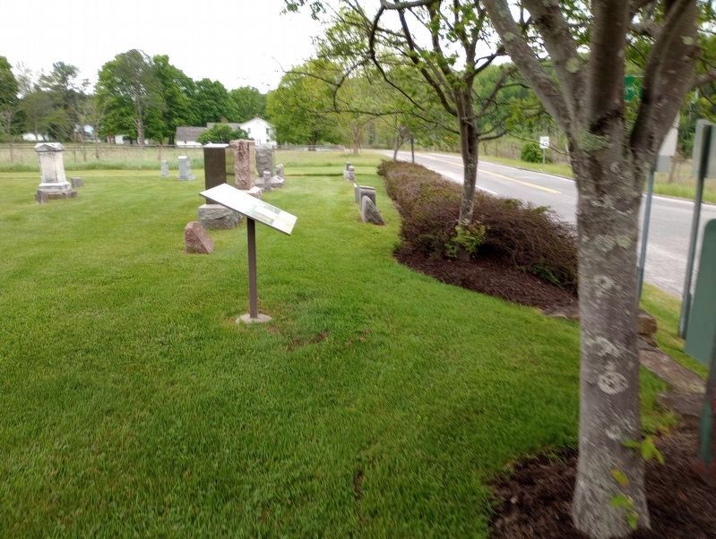
4. Ira Cemetery Information Board Marker
Credits. This page was last revised on August 7, 2023. It was originally submitted on May 30, 2019, by J. J. Prats of Powell, Ohio. This page has been viewed 620 times since then and 39 times this year. Photos: 1, 2. submitted on May 30, 2019, by J. J. Prats of Powell, Ohio. 3, 4. submitted on May 29, 2023, by Craig Doda of Napoleon, Ohio.
