Newport in Campbell County, Kentucky — The American South (East South Central)
Northern Kentucky University / Early Schoolhouse
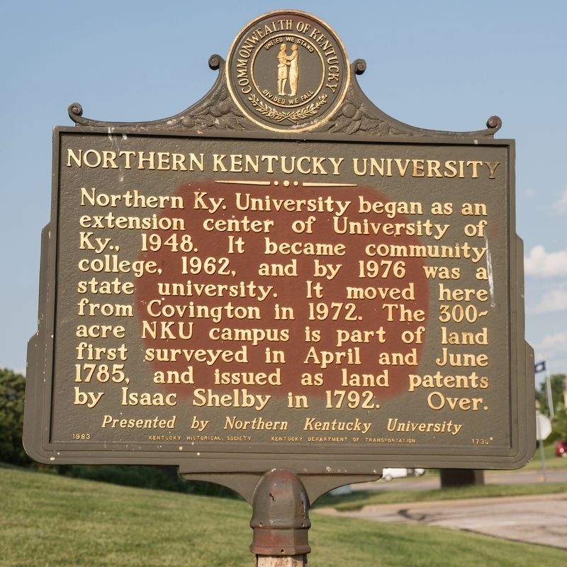
Northern Kentucky University began as an extension center of University of Kentucky, 1948. It became community college, 1962, and by 1976 was a state university. It moved here from Covington in 1972. The 300-acre NKU campus is part of land first surveyed in April and June 1785, and issued as land patents by Isaac Shelby in 1792.
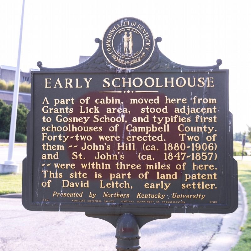
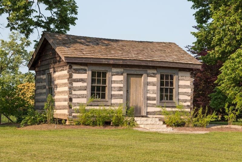
Early Schoolhouse. A part of cabin, moved here from Grants Lick area, stood adjacent to Gosney School, and typifies first schoolhouses of Campbell County. Forty-two were erected. Two of them—John’s Hill (ca. 1880–1906) and St. John’s (ca. 1847–1857)—were within three miles of here. This site is part of land patent of David Leitch, early settler.
Erected 1983 by Kentucky Historical Society and Kentucky Department of Transportation. Presented by Northern Kentucky University. (Marker Number 1730.)
Topics and series. This historical marker is listed in these topic lists: Education • Settlements & Settlers. In addition, it is included in the Kentucky Historical Society series list.
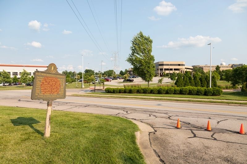
Location. 39° 1.975′ N, 84° 27.758′ W. Marker is in Newport, Kentucky, in Campbell County. Marker is on Louie B Nunn Drive west of University Drive, on the right when traveling west. It is just past the driveway to Honors House. Touch for map. Marker is in this post office area: Newport KY 41076, United States of America. Touch for directions.
Other nearby markers. At least 8 other markers are within 3 miles of this marker, measured as the crow flies. St. John the Baptist Catholic Church (approx. 1˝ miles away); Samuel Woodfill (approx. 1.9 miles away); Beverly Hills Supper Club Fire (approx. 2.2 miles away); Holy Cross Parish (approx. 2.4 miles away); Ritte's Corner (approx. 2.4 miles away); Latonia Race Track (approx. 2.4 miles away); Fort Thomas Spanish-American War Memorial (approx. 2˝ miles away); Ft. Thomas Army Post / Rock of Chickamauga (approx. 2˝ miles away).
Credits. This page was last revised on June 7, 2019. It was originally submitted on June 7, 2019, by J. J. Prats of Powell, Ohio. This page has been viewed 209 times since then and 30 times this year. Photos: 1, 2, 3, 4. submitted on June 7, 2019, by J. J. Prats of Powell, Ohio.


