
Roseville The Beginning
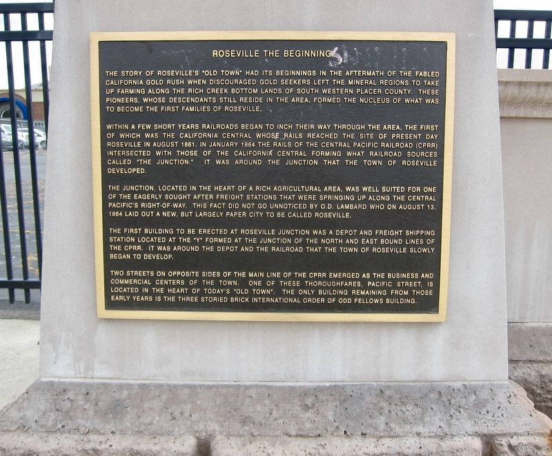
Within a few short years railroads began to inch their way through the area, the first of which was the California Central whose rails reached the site of present day Roseville in August 1861. In January 1864 the rails of the Central Pacific Railroad (CPRR) intersected with those of the California Central forming what railroad sources called the junction.
It was around the junction that the Town of Roseville developed. The junction, located in the heart of a rich agricultural area, was well suited for one of the eagerly sought after freight stations that were springing up along the Central Pacific's right-of-way. This fact did not go unnoticed by O.D. Lambard who on August 13, 1864 laid out a new, but largely paper city to be called
this page online
The first building to be erected at Roseville junction was a depot and freight shipping station located at the "Y” formed at the junction of the north and east bound lines of the CPRR. It was around the depot and the railroad that the town of Roseville slowly began to develop.
Two streets on opposite sides of the main line of the CPRR emerged as the business and
commercial centers of the town. One of these thoroughfares, Pacific Street, is
located in the heart of today's "Old Town". The only building remaining from those
early years is the three storied brick International Order of Odd Fellows Building.
Topics. This historical marker is listed in this topic list: Settlements & Settlers. A significant historical month for this entry is January 1864.
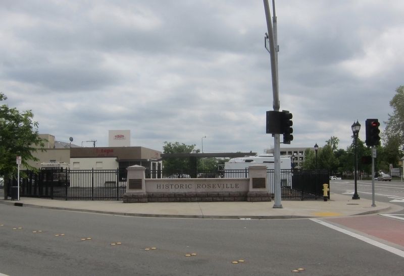
Location. 38° 45.11′ N, 121° 17.218′ W. Marker is in Roseville, California, in Placer County. It is at the intersection of Main Street and Washington Boulevard, on the left when traveling west on Main Street. Touch for map. Marker is in this post office area: Roseville CA 95678, United States of America. Touch for directions.
Regionally, this marker is in California’s
Other nearby markers. At least 8 other markers are within walking distance of this marker: Incorporation (here, next to this marker); Roseville's First Hospital (about 300 feet away, measured in a direct line); Onyx Club (about 400 feet away); The Roseville Methodist Church (about 400 feet away); Chicago West Building (about 400 feet away); Roseville (about 400 feet away); Roseville Tribune and Register Building (about 400 feet away); The Owl Club Building (about 400 feet away). Touch for a list and map of all markers in Roseville.
Credits. This page was last revised on June 18, 2019. It was originally submitted on June 18, 2019, by Andrew Ruppenstein of Lamorinda, California. This page has been viewed 565 times since then and 40 times this year. Photos: 1, 2. submitted on June 18, 2019, by Andrew Ruppenstein of Lamorinda, California.
