Near Hillsdale in Columbia County, New York — The American Northeast (Mid-Atlantic)
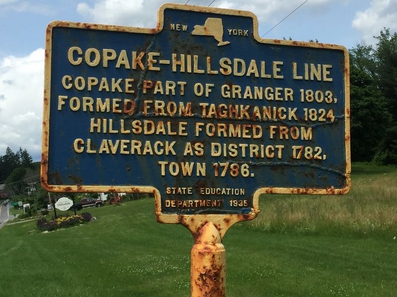
Copake-Hillsdale Line
Copake part of Granger 1803, formed from Taghkanick 1824. Hillsdale formed from Claverack as district 1782, town 1786.
Erected 1935 by State Education Department.
Topics. This historical marker is listed in this topic list: Settlements & Settlers. A significant historical year for this entry is 1803.
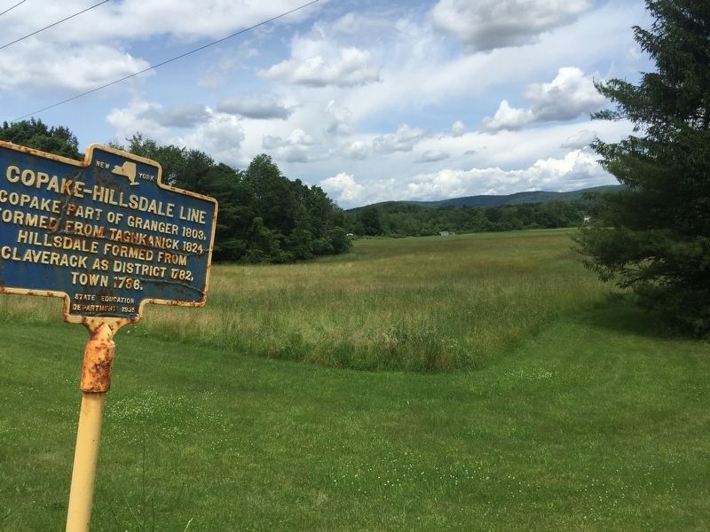
Location. 42° 10.572′ N, 73° 31.177′ W. Marker is near Hillsdale, New York, in Columbia County. Marker is on New York State Route 22, on the left when traveling south. Touch for map. Marker is in this post office area: Hillsdale NY 12529, United States of America. Touch for directions.
Other nearby markers. At least 8 other markers are within 4 miles of this marker, measured as the crow flies. American Revolution Memorial (approx. ¼ mile away); The Veterans Memorial Garden of Hillsdale (approx. 0.3 miles away); Hillsdale Soldiers and Sailors Monument (approx. 0.4 miles away); East Gate Tollhouse (approx. 1.6 miles away); Welcome to Taconic State Park (approx. 3.8 miles away); Harlem Valley Rail Trail (approx. 3.8 miles away); Site of Railroad Depot (approx. 3.9 miles away); Copake Iron Works Historic District (approx. 3.9 miles away). Touch for a list and map of all markers in Hillsdale.
Also see . . . Town of Hillsdale. The Hamlet of Hillsdale is at the intersection of NY 22 & 23 is on the southern edge of the township and very close to this marker. (Submitted on June 24, 2019, by Steve Stoessel of Niskayuna, New York.)
Credits. This page was last revised on June 25, 2019. It was originally submitted on June 24, 2019, by Steve Stoessel of Niskayuna, New York. This page has been viewed 162 times since then and 16 times this year. Photos: 1, 2. submitted on June 24, 2019, by Steve Stoessel of Niskayuna, New York. • Bill Pfingsten was the editor who published this page.

